Pittsburg Landing in Shiloh in Hardin County, Tennessee — The American South (East South Central)
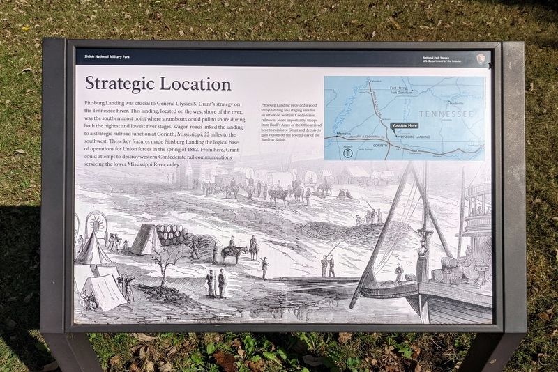
Strategic Location
— Shiloh National Military Park —
(caption)
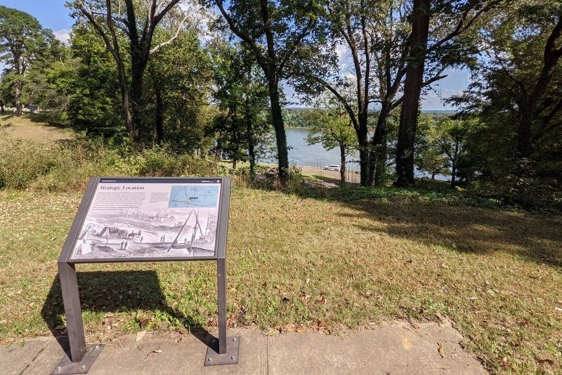
Pittsburg Landing provided a good troop landing and staging area for an attack on western Confederate railroads. More importantly, troops from Buell's Army of the Ohio arrived here to reinforce Grant and decisively gain victory on the second day of the Battle at Shiloh.
Erected by National Park Service, U.S. Department of the Interior. (Marker Number Stop 22.)
Topics. This historical marker is listed in these topic lists: War, US Civil • Waterways & Vessels. A significant historical date for this entry is April 6, 1862.
Location. 35° 8.953′ N, 88° 19.183′ W. Marker is in Shiloh, Tennessee, in Hardin County. It is in Pittsburg Landing. Marker is on Riverside Drive east of Hamburg Purdy Road, on the right when traveling north. Touch for map. Marker is in this post office area: Shiloh TN 38376, United States of America. Touch for directions.
Other nearby markers. At least 8 other markers are within walking distance of this marker. Pittsburg Landing (a few steps from this marker); 9th Illinois Infantry (about 300 feet away, measured in a direct line); Camp of Powell's Battery (about 600 feet away); Powell's Battery (about 600 feet away); Headquarters General U. S. Grant (about 600 feet away); 54th Ohio Infantry (about 600 feet away); First Engagement on Shiloh Battlefield (about 600 feet away); Shiloh National Cemetery (about 600 feet away). Touch for a list and map of all markers in Shiloh.
Also see . . . Shiloh National Military Park. Shiloh National Military Park (Submitted on October 17, 2021.)
Credits. This page was last revised on February 7, 2023. It was originally submitted on October 17, 2021, by Bernard Fisher of Richmond, Virginia. This page has been viewed 105 times since then and 5 times this year. Photos: 1, 2. submitted on October 17, 2021, by Bernard Fisher of Richmond, Virginia.

