Opelika in Lee County, Alabama — The American South (East South Central)
Opelika A Railroad Town/Opelika An Industrial City
Inscription.
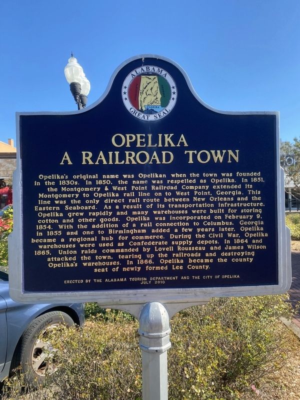
Opelika A Railroad Town
Opelika's original name was Opelikan when the town was founded in the 1830s. In 1850, the name was respelled as Opelika. In 1851, the Montgomery & West Point Railroad Company extended its Montgomery to Opelika rail line on to West Point, Georgia. This line was the only direct rail route between New Orleans and the Eastern Seaboard. As a result of its transportation infrastructure, Opelika grew rapidly and many warehouses were built for storing cotton and other goods. Opelika was incorporated on February 9, 1854. With the addition of a rail connection to Columbus, Georgia in 1855 and one to Birmingham added a few years later, Opelika became a regional hub for commerce. During the Civil War, Opelika warehouses were used as Confederate supply depots. In 1864 and 1865, Union raids commanded by Lovell Rousseau and James Wilson attacked the town, tearing up the railroads and destroying Opelika's warehouses. In 1866, Opelika became the county seat of newly formed Lee County.
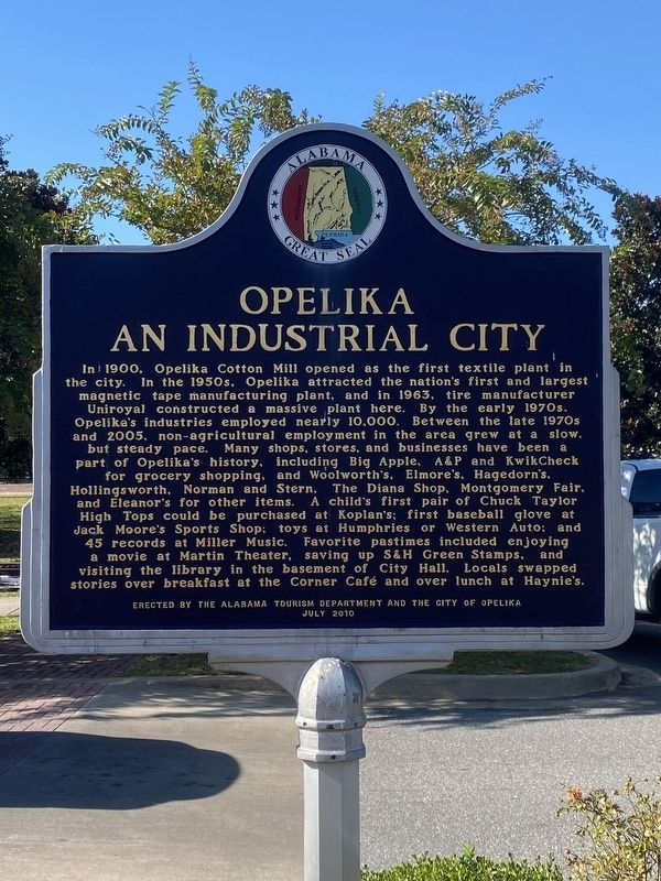
Opelika An Industrial City
In 1900, Opelika Cotton Mill opened as the first textile plant in the city. In the 195Os, Opelika attracted the nation's first and largest magnetic tape manufacturing plant, and in 1963, tire manufacturer Uniroyal constructed a massive plant here. By the early 1970s, Opelika's industries employed nearly 10,000. Between the late 1970s and 2005, non-agricultural employment in the area grew at a slow, but steady pace. Many shops, stores, and businesses have been a part of Opelika's history, including Big Apple, A&P and KwikCheck for grocery shopping, and Woolworth's, Elmore's, Hagedorn's, Hollingsworth, Norman and Stern, the Diana Shop, Montgomery Fair, and Eleanor's for other items. A child's first pair of Chuck Taylor High Tops could be purchased at Koplan's; first baseball glove at Jack Moore's Sports Shop; toys at Humphries or Western Auto; and 45 records at Miller Music. Favorite pastimes included enjoying a movie at Martin Theater, saving up S&H Green Stamps, and visiting the library in the basement of City Hall. Locals swapped stories over breakfast at the Corner Café and over lunch at Haynie's.
Erected 2010 by Alabama Tourism Department and the City of Opelika.
Topics. This historical marker is listed in these topic lists: Industry & Commerce • Railroads & Streetcars • War, US Civil.
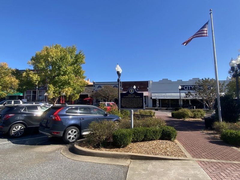
Location. 32° 38.871′ N, 85° 22.787′ W. Marker is in Opelika, Alabama, in Lee County. Marker is on South Railroad Avenue west of South 8th Street, on the left when traveling west. Touch for map. Marker is at or near this postal address: 817 S Railroad Ave, Opelika AL 36801, United States of America. Touch for directions.
Other nearby markers.
At least 8 other markers are within walking distance of this marker. Rosseau's Raid to East Alabama (within shouting distance of this marker); South Railroad Avenue (about 300 feet away, measured in a direct line); Railroad Avenue Historic District (about 300 feet away); Lee County World War II Honor Roll (about 500 feet away); Pepperell Manufacturing Company (about 500 feet away); Emmanuel Episcopal Church (about 500 feet away); Lynching in America / Lynching in Lee County (about 600 feet away); First United Methodist Church (about 700 feet away). Touch for a list and map of all markers in Opelika.
Credits. This page was last revised on September 18, 2022. It was originally submitted on October 17, 2021, by Darren Jefferson Clay of Duluth, Georgia. This page has been viewed 456 times since then and 55 times this year. Photos: 1, 2, 3. submitted on October 17, 2021, by Darren Jefferson Clay of Duluth, Georgia. • Bernard Fisher was the editor who published this page.


