Johnson City in Carter County, Tennessee — The American South (East South Central)
The Robertson Home, Site of First Court of Washington County
Inscription.
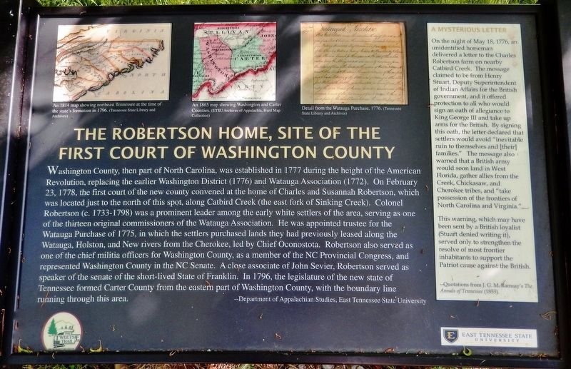
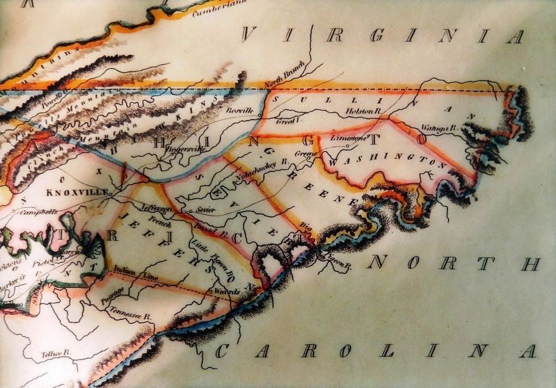
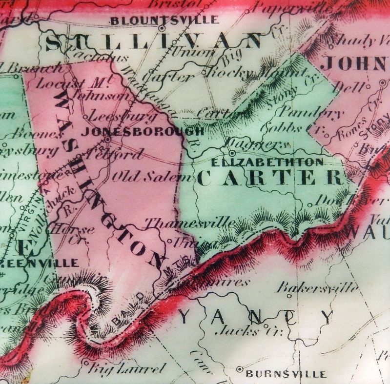
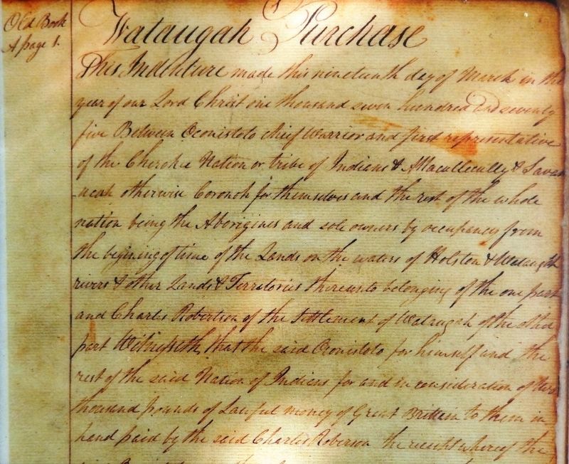
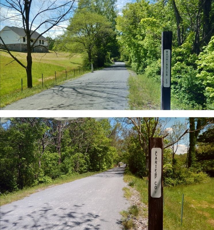
Washington County, then part of North Carolina, was established in 1777 during the height of the American Revolution, replacing the earlier Washington District (1776) and Watauga Association (1772). On February 23, 1778, the first court of the new county convened at the home of Charles and Susannah Robertson, which was located just to the north of this spot, along Catbird Creek (the east fork of Sinking Creek). Colonel Robertson (c. 1733-1798) was a prominent leader among the early white settlers of the area, serving as one of the thirteen original commissioners of the Watauga Association. He was appointed trustee for the Watauga Purchase of 1775, in which the settlers purchased lands they had previously leased along the Watauga. Holston, and New rivers from the Cherokee, led by Chief Oconostota. Robertson also served as one of the chief militia officers for Washington County, as a member of the NC Provincial Congress, and represented Washington County in the NC Senate. A close associate of John Sevier, Robertson served as speaker of the senate of the short-lived State of Franklin. In 1796, the legislature of the new state of Tennessee formed Carter County from the eastern part of Washington County, with the boundary line running through this area.
—Department of Appalachian Studies, East Tennessee State University
A Mysterious Letter
On the night of May 18, 1776, an unidentified horseman delivered a letter to the Charles Robertson farm on nearby Catbird Creek. The message claimed to be from Henry Stuart, Deputy Superintendent of Indian Affairs for the British government, and it offered protection to all who would sign an oath of allegiance to King George III and take up arms for the British. By signing this oath, the letter declared that settlers would avoid "inevitable ruin to themselves and [their] families." The message also warned that a British army would soon land in West Florida, gather allies from the Creek, Chickasaw, and Cherokee tribes, and "take possession of the frontiers of North Carolina and Virginia."
This warning, which may have been sent by a British loyalist (Stuart denied writing it), served only to strengthen the resolve of most frontier inhabitants to support the Patriot cause against the British.
—Quotations from J. G. M. Ramsay's The Annals of Tennessee (1853).
Erected by Department of Appalachian Studies, East Tennessee State University.
Topics. This historical marker is listed in these topic lists: Settlements & Settlers • War, US Revolutionary. A significant historical date for this entry is February 23, 1778.
Location. 36° 18.604′ N, 82° 19.161′
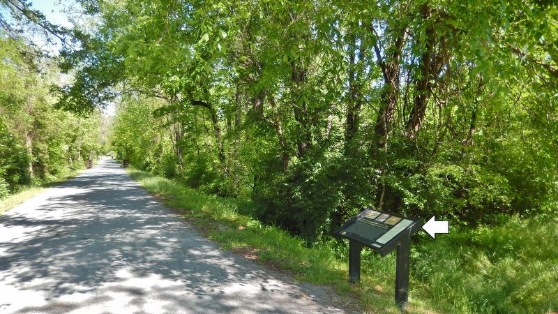
W. Marker is in Johnson City, Tennessee, in Carter County. Marker can be reached from Emmanuel Drive north of Cedar Grove Road, on the left when traveling north. Marker is located on the Tweetsie Trail, 2/10 mile west Emmanuel Drive. Touch for map. Marker is in this post office area: Johnson City TN 37601, United States of America. Touch for directions.
Other nearby markers. At least 8 other markers are within 2 miles of this marker, measured as the crow flies. First Court of Washington County (approx. 0.3 miles away); The Music of the Rails (approx. 0.4 miles away); A Narrow-Gauge Railroad (approx. 0.4 miles away); Passenger Service (approx. 0.4 miles away); Trail Geology (approx. one mile away); Story of the Tweetsie (approx. one mile away); The Tennessee Tweetsie in Hollywood (approx. 1.1 miles away); Gandy Dancers (approx. 1.1 miles away). Touch for a list and map of all markers in Johnson City.
More about this marker. Access to this marker is via bicycle or foot on the Tweetsie Trail.
Related markers. Click here for a list of markers that are related to this marker.
Credits. This page was last revised on October 19, 2021. It was originally submitted on October 18, 2021, by Cosmos Mariner of Cape Canaveral, Florida. This page has been viewed 233 times since then and 31 times this year. Photos: 1, 2, 3, 4, 5, 6. submitted on October 18, 2021, by Cosmos Mariner of Cape Canaveral, Florida.
