Near Chester in Chesterfield County, Virginia — The American South (Mid-Atlantic)
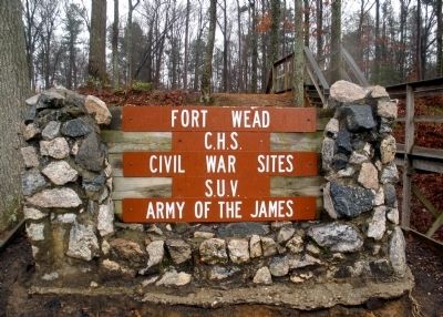
Fort Wead
Civil War Sites
S.U.V.
Army of the James
Erected by Chesterfield Historical Society and Sons of Union Veterans.
Topics. This historical marker is listed in these topic lists: Forts and Castles • War, US Civil.
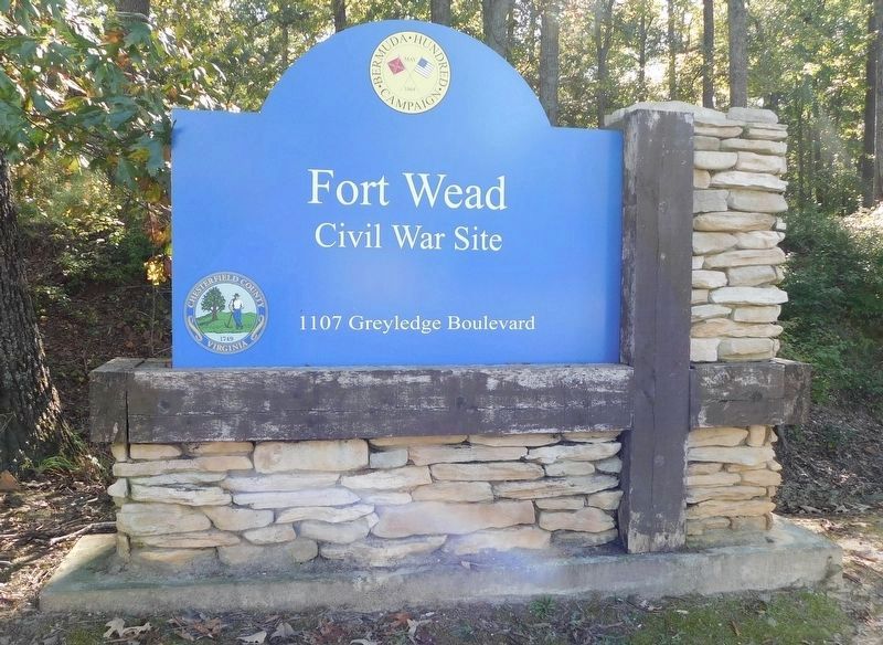
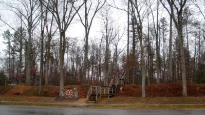
Location. This marker has been replaced by another marker nearby. 37° 20.119′ N, 77° 21.611′ W. Marker is near Chester, Virginia, in Chesterfield County. Marker is at the intersection of Greyledge Boulevard and Greyledge Court, on the left when traveling west on Greyledge Boulevard. Touch for map. Marker is at or near this postal address: 1107 Greyledge Boulevard, Chester VA 23836, United States of America. Touch for directions.
Other nearby markers. At least 8 other markers are within walking distance of this location. A different marker also named Fort Wead (within shouting distance of this marker); Sgt. James Engle (about 700 feet away, measured in a direct line); Federal War Plans for 1864 (approx. 0.8 miles away); Actions in the East 1861-1863 (approx. 0.8 miles away); Confederate Leaders (approx. one mile away); The Bermuda Hundred Campaign-Federal Leaders (approx. one mile away); The Bermuda Hundred Campaign Begins (approx. one mile away); Welcome to R. Garland Dodd Park at Point of Rocks (approx. one mile away). Touch for a list and map of all markers in Chester.
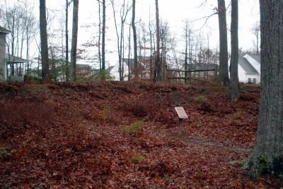
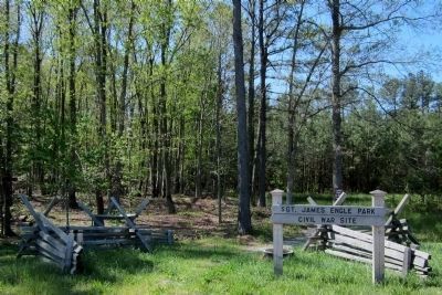
Regarding Fort Wead. Fort Wead was named for Col. Fredrick Wead, who was mortally wounded at the Battle of Cold Harbor in June 1864. The fort was constructed as a backup defense, to be used if Confederate forces broke through the main Federal line, just to the south. The fort had positions for six cannons and was never attacked. Open from sunrise to sunset.
Photographed By Bernard Fisher, March 15, 2009
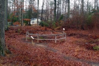
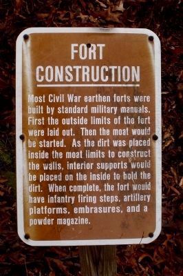
4. Fort Construction
Most Civil War earthen forts were built by standard military manuals. First the outside limits of the fort were laid out. Then the moat would be started. As the dirt was placed inside the moat limits to construct the walls, interior supports would be placed on the inside to hold the dirt. When complete, the fort would have infantry firing steps, artillery platforms, embrasures, and a powder magazine.
Photographed By Bernard Fisher, March 15, 2009
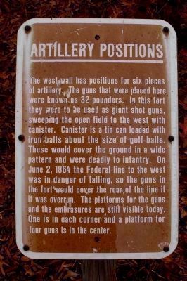
7. Artillery Positions
The west wall has positions for six pieces of artillery. The guns that were placed here were known as 32-pounders. In this fort they were to be used as giant shotguns, sweeping the open field to the west with canister. Canister is a tin can loaded with iron balls about the size of golf balls. These would cover the ground in a wide pattern and were deadly to infantry. On June 2, 1864 the Federal line to the west was in danger of falling, so the guns in the fort would cover the rear of the line if it was overrun. The platforms for the guns and the embrasures are still visible today. One is in each corner and a platform for four guns in the center.
Photographed By Bernard Fisher, March 15, 2009
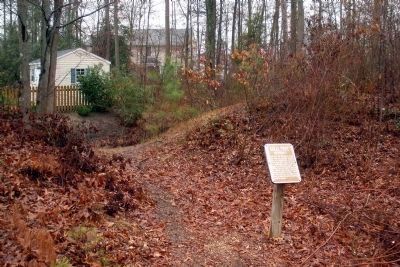
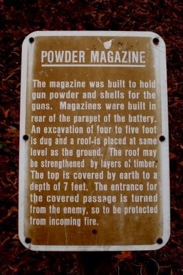
8. Powder Magazine
The magazine was built to hold gun powder and shells for the guns. Magazines were built in rear of the parapet of the battery. An excavation of four to five foot is dug and a roof is placed at the same level as the ground. The roof may be strengthened by layers of timber. The top is covered by earth to a depth of 7 feet. The entrance for the covered passage is turned from the enemy, so to be protected from incoming fire.
Photographed By Bernard Fisher, March 15, 2009
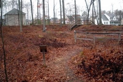
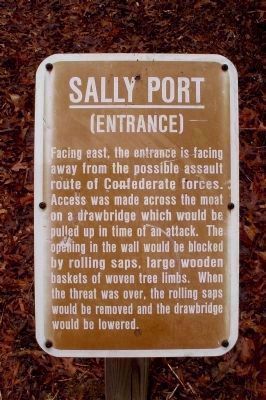
11. Sally Port (Entrance)
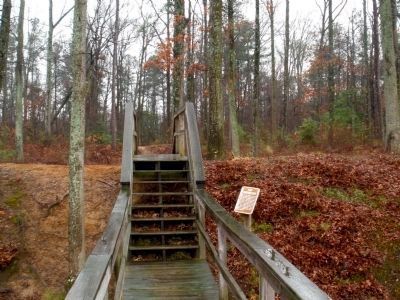
Facing east, the entrance is facing away from the possible assault route of Confederate forces. Access was made across the moat on a drawbridge which would be pulled up in time of an attack. The opening in the wall would be blocked by rolling saps, large wooden baskets of woven tree limbs. When the threat was over, the rolling saps would be removed and the drawbridge would be lowered.
Credits. This page was last revised on October 28, 2021. It was originally submitted on March 17, 2009, by Bernard Fisher of Richmond, Virginia. This page has been viewed 1,692 times since then and 30 times this year. Last updated on October 19, 2021, by Bradley Owen of Morgantown, West Virginia. Photos: 1. submitted on March 17, 2009, by Bernard Fisher of Richmond, Virginia. 2. submitted on October 19, 2021, by Bradley Owen of Morgantown, West Virginia. 3, 4, 5, 6, 7, 8, 9, 10, 11, 12. submitted on March 17, 2009, by Bernard Fisher of Richmond, Virginia. 13. submitted on April 9, 2012, by Bernard Fisher of Richmond, Virginia.
