Johnson City in Carter County, Tennessee — The American South (East South Central)
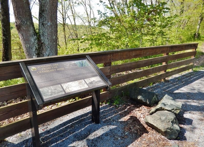
Hauling Ore from the Cranberry Mine
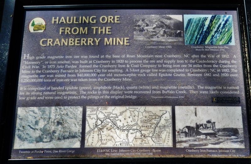
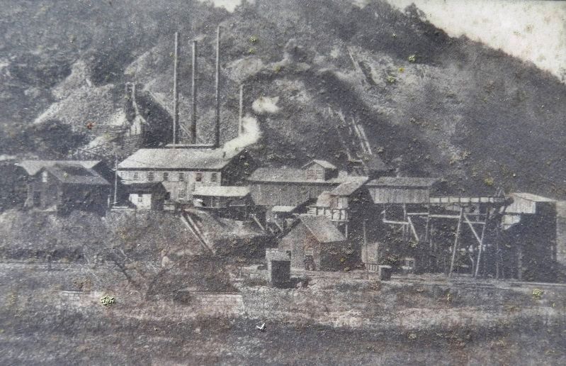
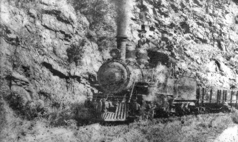
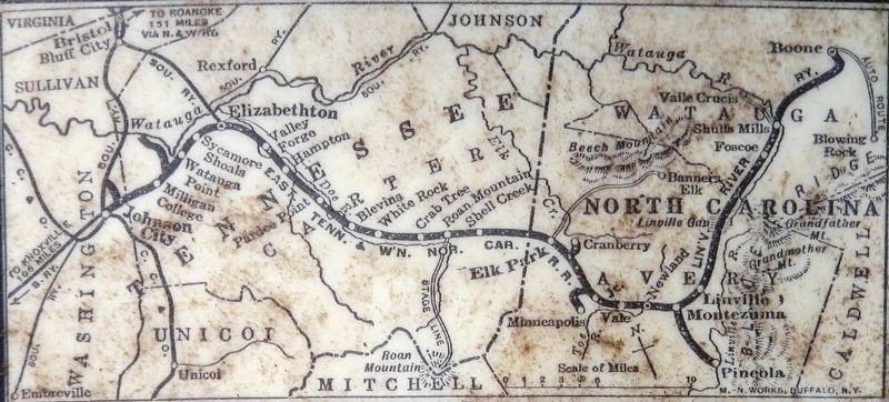
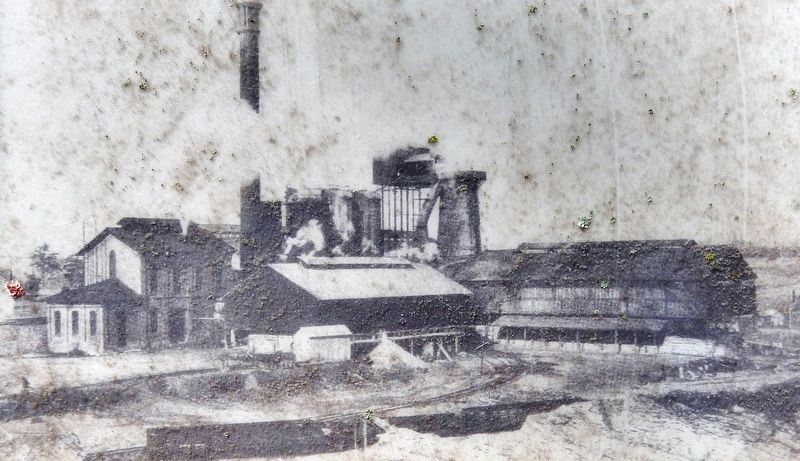
High grade magnetite iron ore was found at the base of Roan Mountain near Cranberry, NC after the War of 1812. A "bloomery", or iron smelter, was built at Cranberry in 1820 to process the ore and supply iron to the Confederacy during the Civil War. In 1875 Ario Pardee formed the Cranberry Iron & Coal Company to bring iron ore 34 miles from the Cranberry Mine to the Cranberry Furnace in Johnson City for smelting. A 3-foot gauge line was completed to Cranberry, NC in 1882. The magnetite ore was mined from 840,000,000 year old metamorphic rock called Epidote Gneiss. Between 1882 and 1920 over 1,250,000,000 tons of iron ore was taken from the Cranberry Mine.
It is comprised of banded epidote (green), amphibole (black), quartz (white) and magnetite (metallic). The magnetite is named for its strong natural magnetism. The rocks in this display were recovered from Buffalo Creek. They were likely considered low grade and were used to protect the pilings of the original bridge.
—Department of Geosciences, ETSU
[photo caption]
• Cranberry Magnetite Iron Ore (photo Dr. Mick Whitelaw, ETSU)
Erected by Department of Geosciences, East Tennessee State University.
Topics. This historical marker is listed in these topic lists: Industry & Commerce • Railroads & Streetcars • War, US Civil. A significant historical year for this entry is 1875.
Location. 36° 18.851′ N, 82° 17.331′ W. Marker is in Johnson City, Tennessee, in Carter County. Marker can be reached from Happy Valley Road just north of Milligan Highway (Tennessee Route 359), on the left when traveling north. Marker is located on the Tweetsie Trail, ¼ mile southwest of Happy Valley Road. Touch for map. Marker is in this post office area: Johnson City TN 37601, United States of America. Touch for directions.
Other nearby markers. At least 8 other markers are within walking distance of this marker. Constructing a Mountain Railroad (a few steps from this marker); Cranberry Furnace Company Quarry (within shouting distance of this marker); Milligan Depot (approx. 0.3 miles away); Powder Branch (approx. 0.6 miles away); Gandy Dancers (approx. 0.6 miles away); The Tennessee Tweetsie in Hollywood (approx. 0.6 miles away); Mary Patton's Powder Mill (approx. 0.7 miles away); Milligan College (approx. 0.9 miles away). Touch for a list and map of all markers in Johnson City.
More about this marker. Access to this marker is via bicycle or foot on the Tweetsie Trail.
Also see . . . Cranberry Iron Mine. The Cranberry Iron Mine is located on an immense subterranean stretch of titaniferous magnetite (titanium, iron oxide) centered around Cranberry in Avery County. Said to have been used by Indians before their contact with whites, it came to be worked mainly from surface ore by 1829 and was opened to systematic production around 1880. By 1974 it was the only active iron mine left in North Carolina. (Submitted on October 20, 2021, by Cosmos Mariner of Cape Canaveral, Florida.)
Credits. This page was last revised on October 20, 2021. It was originally submitted on October 20, 2021, by Cosmos Mariner of Cape Canaveral, Florida. This page has been viewed 464 times since then and 63 times this year. Photos: 1, 2, 3, 4, 5, 6. submitted on October 20, 2021, by Cosmos Mariner of Cape Canaveral, Florida.
