Petersburg in Dinwiddie County, Virginia — The American South (Mid-Atlantic)
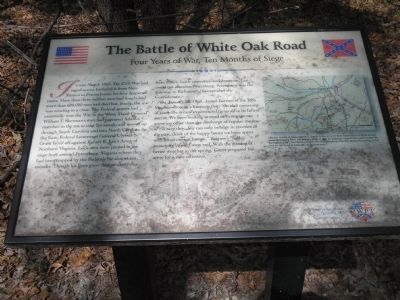
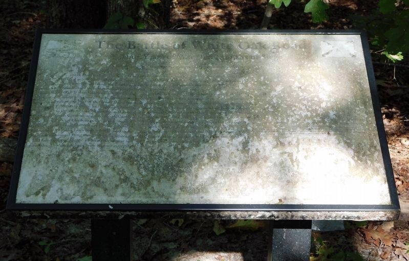
The Battle of White Oak Road
Four Years of War, Ten Months of Siege
On January 25, 1865, James Barrow of the 18th Virginia wrote to a kinsman that, “the dull monotony of camp life is now experienced by us all to its fullest extent. We have nothing around us to engage our attention other than the discharge of regular routine of military duty. We can only indulge in reveries of the past, think of the happy hours we have spent with loved ones at home…” Barrow’s “dull monotony” would soon end. With the coming of better weather in the spring, Grant prepared his army for a new offensive.
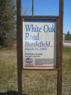
Erected by Civil War Preservation Trust.
Topics. This historical marker is listed in these topic lists: Notable Events • Notable Places • War, US Civil. A significant historical month for this entry is January 1865.
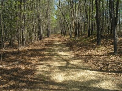
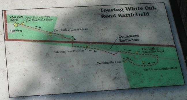
Location. 37° 9.123′ N, 77° 32.952′ W. Marker is unreadable. Marker is in Petersburg, Virginia, in Dinwiddie County. Marker can be reached from White Oak Road, on the right when traveling west. Marker is on the Battle of White Oak Road walking trail. The trail starts from the parking lot at the corner of White Oak Road and Clairborne Road. Touch for map. Marker is in this post office area: Petersburg VA 23803, United States of America. Touch for directions.
Other nearby markers. At least 8 other markers are within 2 miles of this location, measured as the crow flies. A different marker also named The Battle of White Oak Road (within shouting distance of this marker); White Oak Road Engagement (within shouting distance of this marker); a different marker also named The Battle of White Oak Road (about 500 feet away, measured in a direct line); a different marker also named The Battle of White Oak Road (about 700 feet away); a different marker also named The Battle of White Oak Road (approx. 0.2 miles away); a different marker also named The Battle of White Oak Road (approx. 0.2 miles away); Gravelly Run Quaker Meeting House (approx. 1.6 miles away); Raceland (approx. 1.6 miles away). Touch for a list and map of all markers in Petersburg.
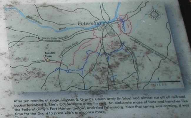
More about this marker. The upper right of the marker contains a map showing the Confederate and Federal fortifications around Petersburg prior to the spring offensive.
Related markers. Click here for a list of markers that are related to this marker. Virtual Tour by Markers of the White Oak Road Battlefield. To better understand the relationship, study each marker in the order shown.
Also see . . .
1. White Oak Road. The Civil War Siege of Petersburg. (Submitted on December 28, 2008, by Bill Coughlin of Woodland Park, New Jersey.)
2. Saving America’s Threatened Civil War Battlefields. Civil War Preservation Trust. (Submitted on December 28, 2008, by Bill Coughlin of Woodland Park, New Jersey.)
Photographed By Bill Coughlin, April 22, 2006
5. Petersburg Fortifications Map from Marker
After ten months of siege, Ulysses S. Grant's Union army (in blue) had almost cut off all railroad access to Robert E. Lee's Confederate army (in red). An elaborate maze of forts and trenches like the Federal army's Fort Morton encircled Petersburg. Now that spring was coming, it was time for Grant to press Lee's army once more.
Credits. This page was last revised on February 2, 2023. It was originally submitted on December 28, 2008, by Bill Coughlin of Woodland Park, New Jersey. This page has been viewed 1,526 times since then and 30 times this year. Last updated on October 20, 2021, by Bradley Owen of Morgantown, West Virginia. Photos: 1. submitted on December 28, 2008, by Bill Coughlin of Woodland Park, New Jersey. 2. submitted on March 30, 2009. 3, 4, 5, 6. submitted on December 28, 2008, by Bill Coughlin of Woodland Park, New Jersey. 7. submitted on October 20, 2021, by Bradley Owen of Morgantown, West Virginia. • Bernard Fisher was the editor who published this page.
