Reno in Washoe County, Nevada — The American Mountains (Southwest)
The Virginia Street Bridges
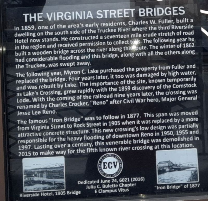
In 1859, one of the area's early residents, Charles W. Fuller, built a dwelling on the south side of the Truckee River where the third Riverside Hotel now stands. He constructed a seventeen mile crude sketch of road in the region and received permission to collect tolls. The following year he built a wooden bridge across the river along this route. The winter of 1862 had considerable flooding and this bridge, along with all the others along the Truckee, was swept away.
The following year, Myron C. Lake purchased the property from Fuller and replaced the bridge. Four years later, it too was damaged by high water, and was rebuilt by Lake. The importance of the site, known temporarily as Lake's Crossing, grew rapidly with the 1859 discovery of the Comstock Lode. With the coming of the railroad none years later, the crossing was renamed by Charles Crocker, "Reno" after Civil War hero, Major General Jesse Lee Reno.
The famous "Iron Bridge" was to follow in 1877. The span was moved from Virginia Street to Rock Street in 1905 when it was replaced with a more attractive concrete structure. This new crossing's low design was partially responsible for heavy flooding of downtown Reno in 1950, 1955 and 1997. Lasting over a century, this venerable bridge was demolished in 2015 to make way for a fifth known river crossing at this location.
Dedicated June 24, 6021 (2016)
Julia C. Bulette Chapter
E Clampus Vitus
Erected by E Clampus Vitus.
Topics and series. This historical marker is listed in these topic lists: Bridges & Viaducts • Fraternal or Sororal Organizations • Roads & Vehicles • Waterways & Vessels. In addition, it is included in the E Clampus Vitus series list. A significant historical year for this entry is 1859.
Location. 39° 31.526′ N, 119° 48.775′ W. Marker is in Reno, Nevada, in Washoe County. Marker is on North Virginia Street near West First Street, on the left when traveling north. Touch for map. Marker is at or near this postal address: 99 North Virginia Street, Reno NV 89501, United States of America. Touch for directions.
Other nearby markers. At least 8 other markers are within walking distance of this marker. Ginsburg Jewelry Company (within shouting distance of this marker); Lake's Crossing (within shouting distance of this marker); Frederick Joseph DeLongechamps (about 300 feet away, measured in a direct line); Site of Nevada’s First Public Library (about 300 feet away); Reno's Beginning (about 400 feet away); Votes for Women (about 500 feet away); Reno (about 600 feet away); Washoe County World War II Memorial (about 600 feet away). Touch for a list and map of all markers in Reno.
Credits. This page was last revised on October 29, 2021. It was originally submitted on October 21, 2021, by Matthew J Ebert of Gerlach, NV. This page has been viewed 243 times since then and 18 times this year. Photos: 1, 2. submitted on October 21, 2021, by Matthew J Ebert of Gerlach, NV. • J. Makali Bruton was the editor who published this page.

