Near Hot Springs in Fall River County, South Dakota — The American Midwest (Upper Plains)
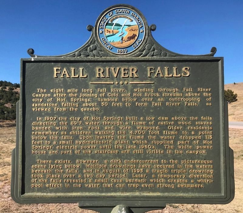
Fall River Falls
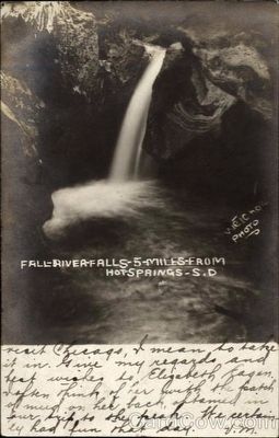
In 1907 the city of Hot Springs built a low dam above the falls directing the 89ºF water through a flume of native wood staves banded with iron rods and wire wrapped. Older residents remember as children walking the 4,700 foot flume to a point below the falls. Upon leaving the flume the water dropped 115 feet to a small hydroelectric plant which supplied part of Hot Springs' electrical power until the late 1960's. The white power house and part of the staircase are still visible in the canyon.
There exists, however, a dark undercurrent to the picturesque scene lying below. Multiple drownings have occurred in the waters beneath the falls, and in August of 1995 a tragic triple drowning took place over a two day period. Later, a temporary diversion of the falls revealed a small cave beneath which creates a whirlpool effect in the water that can trap even strong swimmers.
Erected by South Dakota Department of Transportation.
Topics. This historical marker is listed in this topic list: Natural Features.
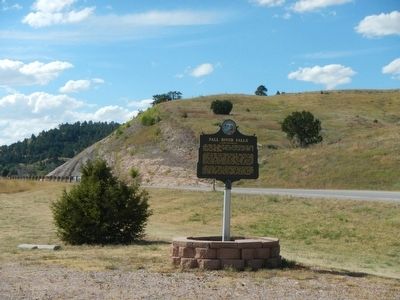
Location. 43° 24.126′ N, 103° 24.462′ W. Marker is near Hot Springs, South Dakota, in Fall River County. Marker is on Fall River Road (U.S. 18) near County Route 79F, on the left when traveling north. Touch for map. Marker is at or near this postal address: 13275 Fall River Rd, Hot Springs SD 57747, United States of America. Touch for directions.
Other nearby markers. At least 8 other markers are within 8 miles of this marker, measured as the crow flies. Leslie Jensen Scenic Drive (approx. 0.6 miles away); Hot Springs, SD (approx. 2.8 miles away); a different marker also named Leslie Jensen Scenic Drive (approx. 2.8 miles away); Mammoth Site of Hot Springs, SD (approx. 4.1 miles away); Battle Mountain (approx. 4.3 miles away); Sandstone Architecture of Hot Springs, SD (approx. 4.4 miles away); An Old Jail - 1888 (approx. 4.4 miles away); John Stevenson Robertson: Pioneer Horticulturalist (approx. 7.7 miles away). Touch for a list and map of all markers in Hot Springs.
Credits. This page was last revised on October 23, 2021. It was originally submitted on October 5, 2015, by Barry Swackhamer of Brentwood, California. This page has been viewed 644 times since then and 77 times this year. Last updated on October 22, 2021. Photos: 1. submitted on October 22, 2021. 2, 3, 4. submitted on October 5, 2015, by Barry Swackhamer of Brentwood, California. • J. Makali Bruton was the editor who published this page.


