Near Auvil in Tucker County, West Virginia — The American South (Appalachia)
Jonathan Minear
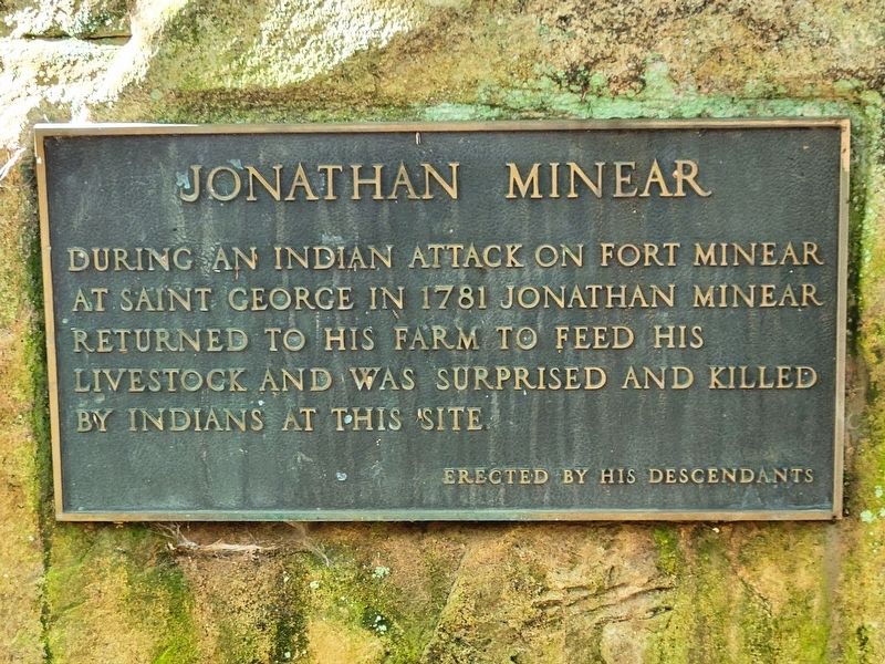
Photographed by J. J. Prats, October 12, 2021
1. Jonathan Minear Tablet
Erected 1930 by his descendants.
Topics. This historical marker is listed in these topic lists: Settlements & Settlers • Wars, US Indian. A significant historical year for this entry is 1781.
Location. 39° 11.022′ N, 79° 43.701′ W. Marker is near Auvil, West Virginia, in Tucker County. It can be reached from the intersection of Cheat Valley Highway (West Virginia Route 72) and Jonathan Run Road (County Route 6), on the right when traveling north. Touch for map. Marker is in this post office area: Parsons WV 26287, United States of America. Touch for directions.

Regionally, this marker is in West Virginia’s Potomac Highlands. It is also in the American South, specifically in the Upper South, in Appalachia, and specifically in Northern Appalachia. Globally, it is in North America, the Western Hemisphere, the Western World, and the Anglosphere. Historically, it finds itself in what was once the territory of the Mississippian
this page online
Other nearby markers. At least 8 other markers are within 7 miles of this marker, measured as the crow flies: Capture of St. George / Imboden’s Expedition (approx. 1.8 miles away); St. George (approx. 2 miles away); Saint George Academy (approx. 2.1 miles away); Seneca Trail (approx. 6½ miles away); Tucker County Courthouse (approx. 6½ miles away); Tucker County Jail (approx. 6½ miles away); All Gave Some, Some Gave All (approx. 6½ miles away); Corrick's Ford Battle (approx. 6½ miles away).
Another marker is no longer nearby. First County Seat / Fort Minear (was approx. 1.8 miles away but has been confirmed missing).
Related marker. Click here for another marker that is related to this marker.
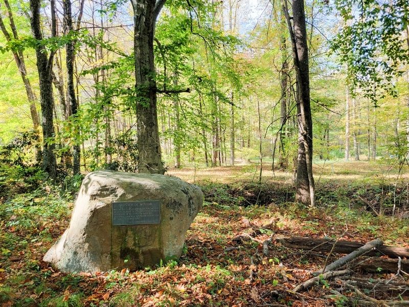
Photographed by J. J. Prats, October 12, 2021
2. Jonathan Minear Monument
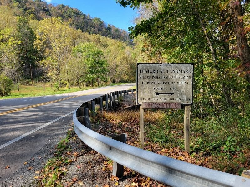
Photographed by J. J. Prats, October 12, 2021
3. Wayside Sign
“Historical Landmark — Site of Indian raid and slaying of Pioneer Jonathan Minear. Date – 1780. —Tucker County Historical Society”
Credits. This page was last revised on January 9, 2022. It was originally submitted on October 24, 2021, by J. J. Prats of Powell, Ohio. This page has been viewed 1,003 times since then and 103 times this year. Photos: 1, 2, 3. submitted on October 24, 2021, by J. J. Prats of Powell, Ohio.
