Prospect Harbor in Hancock County, Maine — The American Northeast (New England)
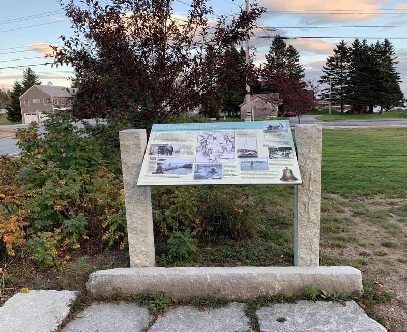
Gouldsboro Town Park
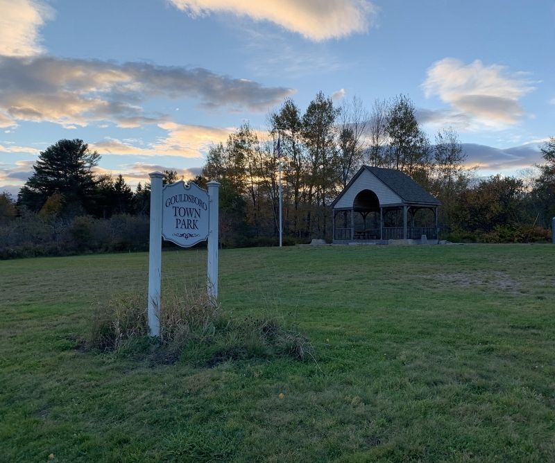
Established in 2017 for the citizens of Gouldsboro through the generosity of one of its own.
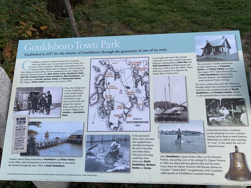
Gouldsboro peninsula is thirty thousand acres of granite, heath and shallow soil, two mountains and two ponds. On a point in West Gouldsboro, Wabanaki communities lived for centuries before English came for logging, a little farming, and then fishing and shipbuilding. Frontier settlements are now villages with distinctive character and pride: Birch Harbor, Corea, Gouldsboro Point, West Bay, Prospect Harbor, South Gouldsboro, West Gouldsboro, and the settlements of Ashville, Bunkers Harbor and Wonsqueak Harbor. The village of Winter Harbor became its own town in 1895.
Oxen, the driving force of early Gouldsboro, at first hauled timber, sustaining the trade with Boston. Later oxen moved rocks and plowed the farmers' fields, especially in the northern villages from Ashville to Gouldsboro Point.
Local timber, the town's first market commodity, was soon worked with great skill and craftsmanship at West Bay and West Gouldsboro, building sloops and schooners to fish cod in the 1800s. Those skills were passed on to improve the lobster fleets of later years.
In the peninsula's inlets, weirs and seine nets supplied once-abundant herring for the town's factories and lobster fleets. This haul of herring could have been taken near South Gouldsboro, Bunkers Harbor, or Corea.
For over a century the catch that fishermen brought ashore was converted to marketable seafood in the canning factories of South Gouldsboro and Prospect Harbor, thanks to the sustained labor of the town's women.
Lobstering has been a mainstay on the peninsula for over a century. Among active fleets in most harbors, fisherman can still be seen standing to "row” to the wharf the way it's long been done.
Upper Right Photo: The peninsula's notable architecture includes lighthouses at Prospect Harbor and Winter Harbor and also this elegant 1907 Tudor Revival library in West Gouldsboro, listed on the National Register and designed by noted architect Fred L. Savage.
Bottom Right Photo: After Gouldsboro Captain Rufus Allen, on the Schooner Ponfret, rescued the crew of the sinking S.S. Queen Victoria in 1866, her ship's bell was gifted to him and his town. Later, when the Queen Victoria's bell became famous as Canada's “Liberty Bell,” its significance with Canadians added greatly to Gouldsboro's maritime heritage.
Bottom Left Photo and Image: Summer visitors began sojourning in Gouldsboro and Winter Harbor in the 1880s, often arriving from across Frenchman Bay in steamships that docked through the early 1900s at South Gouldsboro.
For more Gouldsboro history: Visit the Dorcas Library (across the street) and the Gouldsboro Historical Society (www.gouldsborohistory.org) / Design: Tides Edge Design
Topics. This historical marker is listed in these topic lists: Industry & Commerce • Parks & Recreational Areas • Settlements & Settlers. A significant historical year for this entry is 2017.
Location. 44° 24.516′ N, 68° 1.603′ W. Marker is in Prospect Harbor, Maine, in Hancock County. Marker is at the intersection of Pond Road (Maine Route 195) and Main Street (Maine Route 186), on the right when traveling south on Pond Road. Touch for map. Marker is in this post office area: Prospect Harbor ME 04669, United States of America. Touch for directions.
Other nearby markers. At least 8 other markers are within 4 miles of this marker, measured as the crow flies. Life on the Ocean’s Edge (within shouting distance of this marker); Down East Lights (about 700 feet away, measured in a direct line); When the ocean was the great highway for travel (about 700 feet away); Gouldsboro Veterans Memorial (approx. 0.2 miles away); Karl A. Jacobson (approx. 2.8 miles away); Lighthouses Warned Ships of Danger Down East (approx. 3 miles away); Fires Changed the Face of Winter Harbor Again & Again (approx. 3.2 miles away); Discover Architectural Gems in a DownEast Village (approx. 3.2 miles away). Touch for a list and map of all markers in Prospect Harbor.
Credits. This page was last revised on October 30, 2021. It was originally submitted on October 25, 2021, by Steve Stoessel of Niskayuna, New York. This page has been viewed 118 times since then and 13 times this year. Photos: 1, 2, 3. submitted on October 25, 2021, by Steve Stoessel of Niskayuna, New York. • Michael Herrick was the editor who published this page.


