Near Vivian in Lyman County, South Dakota — The American Midwest (Upper Plains)
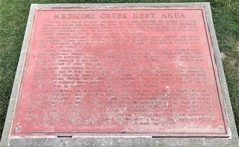
Medicine Creek Rest Area
County and community names provide a look into territorial politics and plains expeditions. Lyman County derived its name from Major W.F. Lyman, a member of the 1873 Territorial Legislature which created the county, even though Lyman never lived in this area.
Hughes County, across the Missouri to the north, was named after another territorial legislator. Mellette County, southwest, honored the last territorial and first South Dakota governor. Stanley and Sully Counties, both north of here, were named after army generals of the pioneer era. Jones County, to the west, is a bit different; settlers named it after their home county in Iowa.
Railroads contributed their share of place-names to the country. The Chicago, Milwaukee, and St. Paul chose a route west across South Dakota which generally parallels that taken by Interstate 90. As a result, many towns which sprang up have railroad names: Vivian, three miles (4.8 kilometers) west, was named for the wife of a Milwaukee railroad representative. Draper, 17 miles (27 kilometers) west, is one of the few towns in America named for a railroad conductor.
To the northwest, an approximate 20-by-20 mile area of the Ft. Pierre National Grassland preserves the side-open look of the original Dakota prairie. Thirty-five miles (56 kilometers) north, Ft. Pierre and Pierre bear names recalling the furtraders who preceded settlement along the Missouri. Their names come from that of Pierre Chouteau, Jr., an agent of the American Fur Company in the 1830's. Ft. Pierre, on the west bank of the Missouri, has been continuously occupied site since 1817, originally as a fort or fur post before becoming a shipping center and cattle town. Pierre, the state capital, was founded on the east bank of the Missouri in 1880 when Chicago and Northwestern R.R. tracks reached the river. (Marker Number 602.)
Topics and series. This historical marker is listed in these topic lists: Settlements & Settlers • Waterways & Vessels. In addition, it is included in the South Dakota State Historical Society Markers series list. A significant historical year for this entry is 1873.
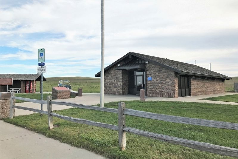
Location. 43° 54.696′ N, 100° 11.99′ W. Marker is near Vivian, South Dakota, in Lyman County. Marker can be reached from Interstate 90 at milepost 218. The marker is located at the Vivian Eastbound Rest Area. Touch for map. Marker is in this post office area: Vivian SD 57576, United States of America. Touch for directions.
Other nearby markers. At least 6 other markers are within 8 miles of this marker, measured as the crow flies. Civilian Conservation Corps Camp (here, next to this marker); Purple Heart Memorial Highway (here, next to this marker); World's Only Corn Palace - Mitchell (a few steps from this marker); a different marker also named Medicine Creek Rest Area (approx. 2.8 miles away); How Come They Called it Presho (approx. 7.2 miles away); Lyman County, South Dakota Veterans Memorial (approx. 7.2 miles away).
Credits. This page was last revised on October 26, 2021. It was originally submitted on October 25, 2021. This page has been viewed 191 times since then and 8 times this year. Photos: 1, 2. submitted on October 25, 2021. • J. Makali Bruton was the editor who published this page.

