
Argyle in Denton County, Texas — The American South (West South Central)
Graham Argyle Cemetery
Photographed by J Frye
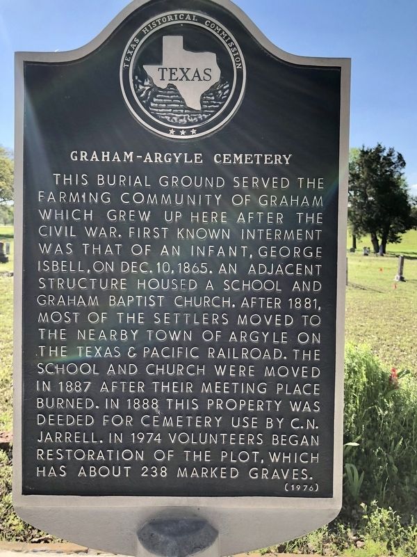
1. Graham Argyle Cemetery Marker
This burial ground served the farming community of Graham which grew up here after the Civil War. First known interment was that of an infant, George Isbell, on December 10, 1865. An adjacent structure housed a school and Graham Baptist Church. After 1881, most of the settlers moved to the nearby town of Argyle on the Texas and Pacific Railroad. The school and church were moved in 1887 after their meeting place burned. In 1888 this property was deeded for cemetery use by C. N. Jarrell. In 1974 volunteers began restoration of the plot, which has about 238 marked graves.
Erected 1976 by Texas Historical Commission. (Marker Number 2241.)
Topics. This historical marker is listed in these topic lists: Cemeteries & Burial Sites • Settlements & Settlers. A significant historical year for this entry is 1865.
Location. 33° 7.819′ N, 97° 10.619′ W. Marker is in Argyle, Texas, in Denton County. It is on Country Club Road north of Harrison Lane, on the left when traveling north. Touch for map. Marker is in this post office area: Argyle TX 76226, United States of America. Touch for directions.

Regionally, this marker is in
this page online
Other nearby markers. At least 8 other markers are within 5 miles of this marker, measured as the crow flies: Argyle United Methodist Church (approx. 0.7 miles away); Argyle (approx. ¾ mile away); Johns' Well and Campgrounds (approx. 2.1 miles away); Prairie Mound Cemetery (approx. 3.2 miles away); Annie Webb Blanton (approx. 3.3 miles away); Old Alton Cemetery (approx. 4.2 miles away); Old Alton Bridge (approx. 4.2 miles away); Rector Road Bridge at Guyer High School (approx. 4.3 miles away). Touch for a list and map of all markers in Argyle.
Photographed by J Frye
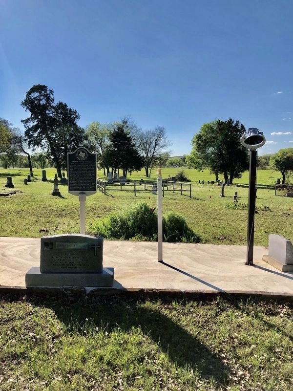
2. Graham Argyle Cemetery Marker
Photographed by J Frye
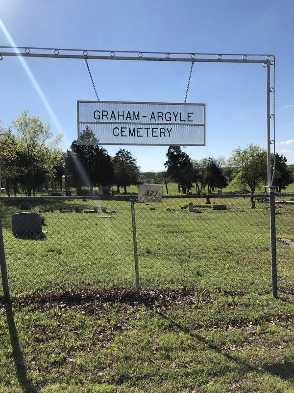
3. Graham Argyle Cemetery Gate
Credits. This page was last revised on October 26, 2021. It was originally submitted on October 25, 2021, by J Frye of Fort Worth, Texas. This page has been viewed 557 times since then and 59 times this year. Photos: 1. submitted on October 25, 2021, by J Frye of Fort Worth, Texas. 2, 3. submitted on October 26, 2021, by J Frye of Fort Worth, Texas. • J. Makali Bruton was the editor who published this page.
