Near Thurmont in Frederick County, Maryland — The American Northeast (Mid-Atlantic)
Secondary Industries and the Mill Pond
Catoctin Furnace African American Cemetery Interpretive Trail
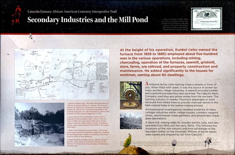
At the height of his operation, Kunkel (who owned the furnace from 1856 to 1885) employed about five hundred men in the various operations, including mining, charcoaling, operation of the furnaces, sawmill, gristmill, store, farms, ore railroad, and property construction and maintenance. He added significantly to the houses for workmen, owning about 80 dwellings.
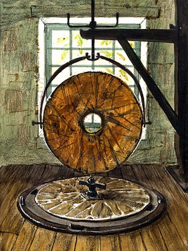
A millpond fed by Little Hunting Creek is directly in front of you. When filled with water, it was the source of power for many ancillary village industries. A sawmill provided lumber, and a gristmill provided flour and cornmeal. The Catoctin Paint Company used blue and yellow oxides from the ore bank. The tanning industry in nearby Thurmont depended on bark removed from felled trees to provide charcoal: tannin in the bark colored hides in the leather-making process.
Archaeological investigations revealed evidence of many cottage industries within village houses: cobblers repaired shoes, seamstresses made garments, and lampworkers made glass decorations.
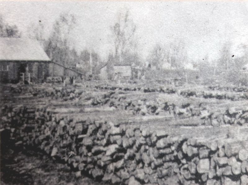
A stave mill, making sides for wooden barrels, tubs, and vats operated from 1914 until the early 1920s. This followed the shutdown of the iron industry and took advantage of the abundant timber on the mountain. Millions of barrel staves were sawed and shipped by rail from Catoctin. (Marker Number 7.)
Topics. This historical marker is listed in these topic lists: African Americans • Cemeteries & Burial Sites • Industry & Commerce. A significant historical year for this entry is 1856.
Location. 39° 34.752′ N, 77° 26.083′ W. Marker is near Thurmont, Maryland, in Frederick County. Marker can be reached from the intersection of Catoctin Furnace Road (Maryland Route 806) and Catoctin Hollow Road, on the right when traveling south. Touch for map. Marker is at or near this postal address: 12610 Catoctin Furnace Rd, Thurmont MD 21788, United States of America. Touch for directions.
Other nearby markers. At least 8 other markers are within walking distance of this marker. Who Built this Village? (here, next to this marker); Dynamic Nature of History (within shouting distance of this marker); Erasure and Rediscovery (within shouting distance of this marker); The Return of Names (within shouting distance of this marker); An Unquiet Place (within shouting distance of this marker); Resources: Use—Reuse—Recycle (about 300 feet away, measured in a direct line); Harriet Chapel (about 500 feet away); A Diverse and Skilled Workforce (about 700 feet away). Touch for a list and map of all markers in Thurmont.
Photographed By Allen C. Browne, October 18, 2021
3. Catoctin Furnace 1776
by William G. Renner
by William G. Renner
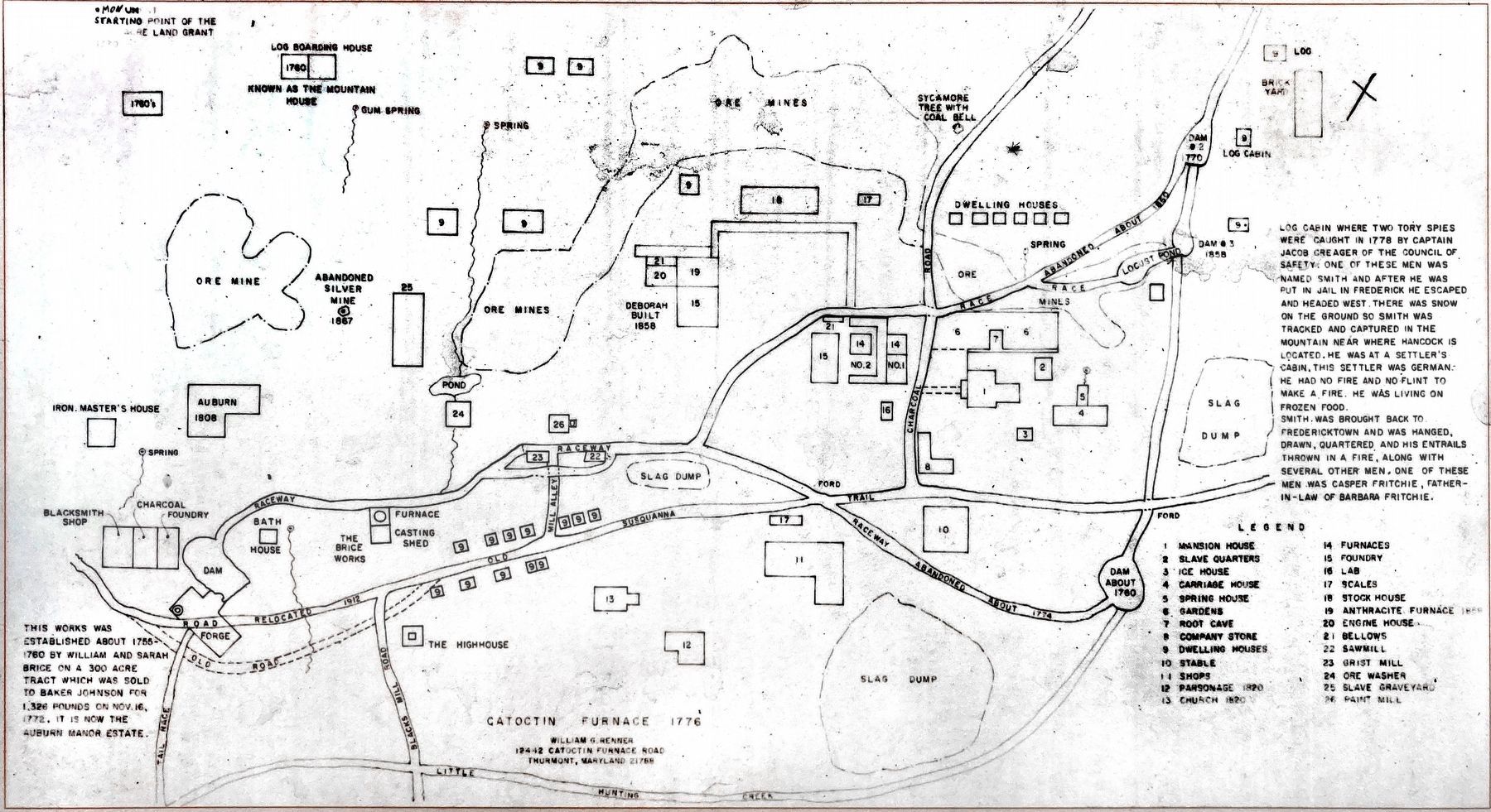
« Renner Map: This 1982 map was drawn by lifelong resident William G. Renner. He relied on stories he heard as a child about furnace complex history as well as his intimate knowledge of the cultural landscape, His map represents a vision of the evolution of the complex beginning in 1776.Close-up of map on marker
Photographed By Allen C. Browne, October 18, 2021
4. Ore Pit
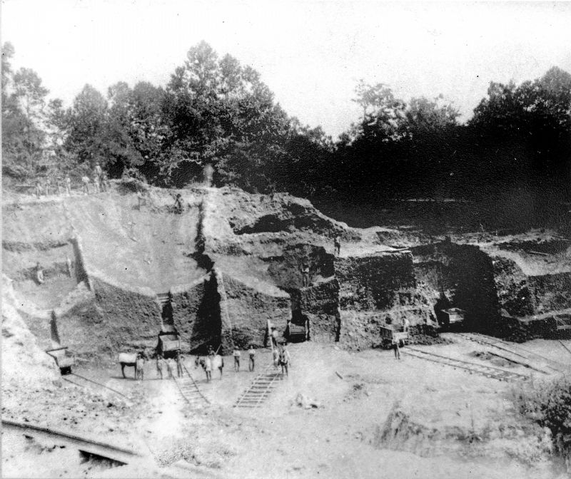
« Ore pit: This photograph shows what is believed to be the earliest open mine at Catoctin, Prior to 1850, ore carts were pulled along narrow (dinky) tracks by mules. Steam shovels, including a Vulcan, were used as early as the 1870s in the Upper Mine Bank. Photo attributed to William G. Renner - Carl E. Brown Collection.Close-up of photo on marker.
Credits. This page was last revised on March 3, 2023. It was originally submitted on October 26, 2021, by Allen C. Browne of Silver Spring, Maryland. This page has been viewed 117 times since then and 5 times this year. Photos: 1, 2, 3, 4, 5, 6. submitted on October 26, 2021, by Allen C. Browne of Silver Spring, Maryland. • Devry Becker Jones was the editor who published this page.
