Woodycrest in Nashville in Davidson County, Tennessee — The American South (East South Central)
Battle of Nashville
Attack by U.S. Colored Troops on the Confederate right flank

Photographed by Darren Jefferson Clay, October 26, 2021
1. Battle of Nashville Marker (side 1)
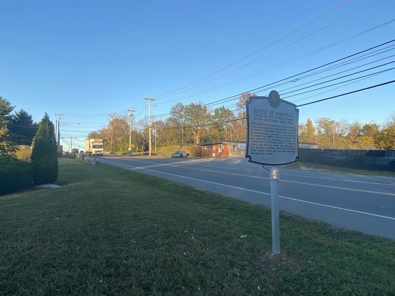
After defeating the Confederate army at Franklin, Union troops under Gen. John Schofield returned to Nashville, Confederate troops under Gen. John Bell Hood followed. and spent 2 weeks preparing to assault the capital. The Confederate line was anchored by Granbury's Lunette, an earthworks fortification with 4 artillery pieces and 344 men under the command of Gen. Benjamin Cheatham. Early on Dec. 15, 1864. three brigades under Maj. Gen. James Steedman attacked the lunette.
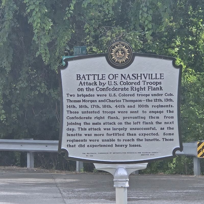
Two brigades were U.S. Colored troops under Cols. Thomas Morgan and Charles Thompson—the 12th, 13th, 14th, 16th, 17th, 18th, 44th and 100th regiments. These untested troops were sent to engage the Confederate right flank, preventing them from joining the main attack on the left flank the next day. This attack was largely unsuccessful, as the lunette was more fortified than expected. Some regiments were unable to reach the lunette. Those that did experienced heavy losses.
Erected 2021 by the Historical Commission of Metropolitan Nashville and Davidson County. (Marker Number 233.)
Topics. This historical marker is listed in these topic lists:
this page online
Location. 36° 7.956′ N, 86° 44.964′ W. Marker has been damaged. Marker is in Nashville, Tennessee, in Davidson County. It is in Woodycrest. It is at the intersection of Polk Avenue and Fiber Glass Road, on the right when traveling south on Polk Avenue. Touch for map. Marker is at or near this postal address: 920 Fiber Glass Rd, Nashville TN 37210, United States of America. Touch for directions.

Regionally, this marker is in Middle Tennessee. It is also in the American South and specifically in the Upper South. Globally, it is in North America, the Western Hemisphere, the Western World, and the Anglosphere. Historically, it finds itself in what was once the territory of the Mississippian Culture, one of the Confederate States of America, and the Antebellum South.
Other nearby markers. At least 8 other markers are within one mile of this location, measured as the crow flies: Granbury’s Lunette (within shouting distance of this marker); Into a Trap (approx. half a mile away); Walden College (approx. 0.7 miles away); Cheatham’s Line (approx.

Photographed by Darren Jefferson Clay, October 26, 2021
2. Battle of Nashville Marker (side 2)
Another marker is no longer nearby. Cumberland Park (was approx. 0.9 miles away but has been replaced with another marker now near it).
Also see . . . Nashville historical marker honoring Black soldiers damaged. (Submitted on September 5, 2024, by Mark Hilton of Montgomery, Alabama.)
Additional commentary.
1. Local historian to cover cost of replacement marker.
A local historian and philanthropist has stepped up to cover the cost of its replacement. Gary Burke has been one of the people spearheading an effort to erect historical markers across Nashville recognizing the contributions of Black soldiers. In a social media post, Burke wrote that he was “moved to tears” when he saw the damaged sign.
— Submitted September 14, 2024.
Photographed by Darren Jefferson Clay, October 26, 2021
3. Battle of Nashville Marker
Photographed by Mike McKeown, May 21, 2026
4. Battle of Nashville Marker
Marker has been replaced
Credits. This page was last revised on May 28, 2026. It was originally submitted on October 26, 2021, by Darren Jefferson Clay of Duluth, Georgia. This page has been viewed 789 times since then and 87 times this year. Photos: 1, 2, 3. submitted on October 26, 2021, by Darren Jefferson Clay of Duluth, Georgia. 4. submitted on May 23, 2026, by Mike McKeown of Baltimore, Maryland. • Bernard Fisher was the editor who published this page.
Editor’s want-list for this marker. Photo of replaced marker (approx spring 2025). • Can you help?
