Near Chester in Chesterfield County, Virginia — The American South (Mid-Atlantic)
Fort Wead
The Bermuda Hundred Campaign
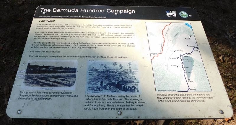
Fort Wead was built in June, 1864 by members of the 1st NY Engineers, assisted by the labors of various infantry units of the Army of the James. The fort was named after Col. Frederick M. Wead of the 98th NY Infantry, killed at the battle of Cold Harbor.
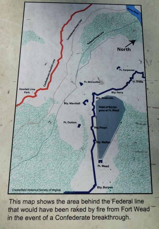
Fort Wead is a rare example of a preserved Union fort in Chesterfield County. It is unique in that it does not face the Confederate line. The fort's guns were positioned to fire behind Union lines, generally northward, in the event of a Confederate breakthrough on the main line. This redoubt was manned by a detachment of the 1st Connecticut Heavy Artillery.
The fort's gun platforms were designed to allow field artillery of all makes and calibers to be rolled up onto the gun platforms to help stop any breach of the main Union line. Outside the fort ditch were rows of abatis or fallen tree tops that served as obstuctions to any attacking troops.
Fort Wead was never attacked.
This park was a gift to the people of Chesterfield County from Jack and Nina Shoosmith and family.
(Photo Captions)
Photograph of Fort Wead (Chandler Collection). Greyledge Boulevard runs approximately where the dirt road is in the photograph.
Engraving by E. F. Mullen showing the center of Butler's line in Bermuda Hundred. This drawing is believed to show the area between Battery Anderson and Battery Perry. This is the area that Fort Wead would have fired on in the event of an attack. Library of Congress
This map shows the area behind the Federal line that would have been raked by fire from Fort Wead in the event of a Confederate breakthrough. Chesterfield Historical Soclety of Virginia
This sign was sponsored Don W. and Janis R. Barnes, Grand Junction, MI
Erected by Blue & Gray Education Society; Chesterfield County Virginia.
Topics. This historical marker is listed in these topic lists: Forts and Castles • War, US Civil. A significant historical month for this entry is June 1864.
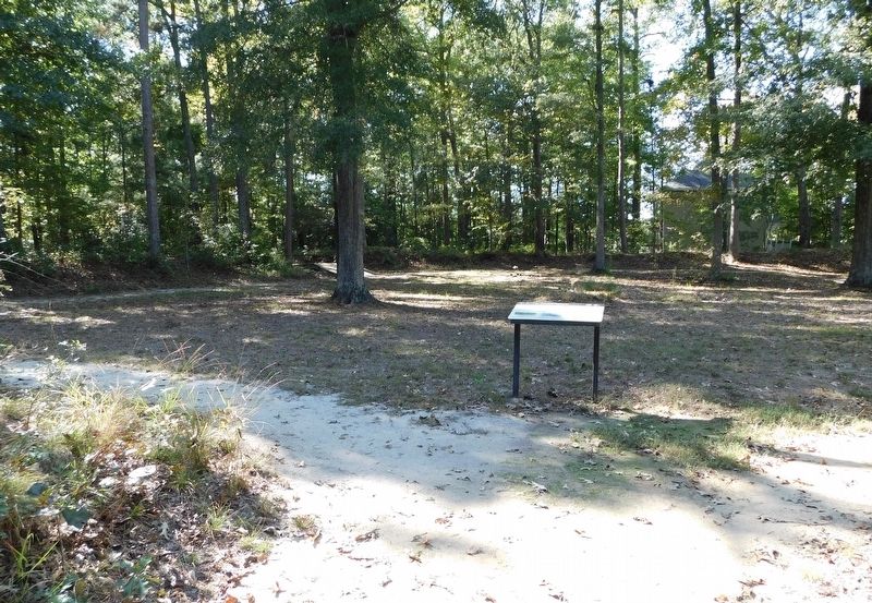
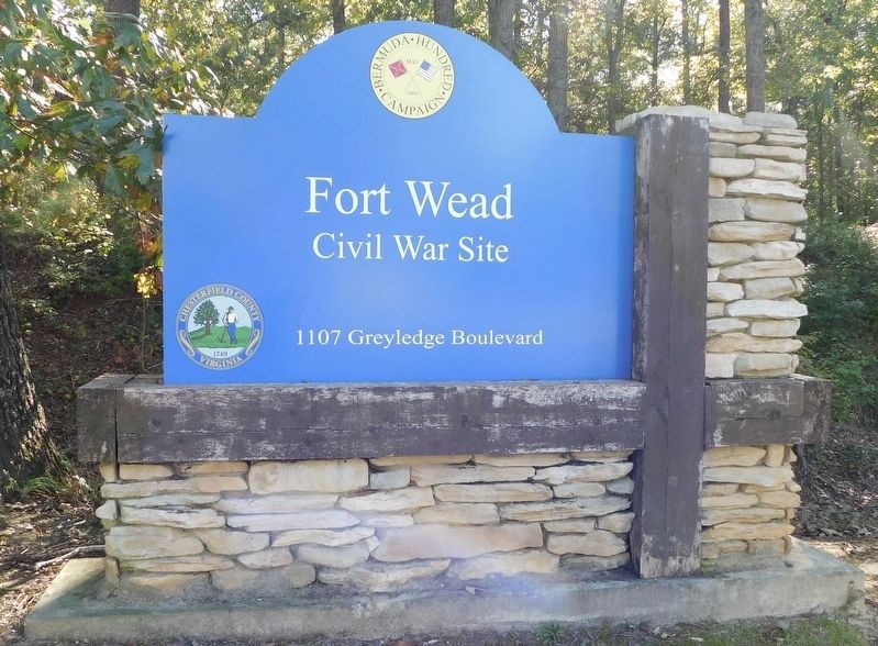
Location. 37° 20.093′ N, 77° 21.596′ W. Marker is near Chester, Virginia, in Chesterfield County. Marker can be reached from the intersection of Greyledge Boulevard and Greyledge Court, on the right when traveling east. Marker is located inside the earthen walls of Fort Wead at the Fort Wead Civil War Site. Touch for map. Marker is at or near this postal address: 1107 Greyledge Boulevard, Chester VA 23836, United States of America. Touch for directions.
Other nearby markers. At least 8 other markers are within walking distance of this marker. A different marker also named Fort Wead (within shouting distance of this marker); Sgt. James Engle (about 700 feet away, measured in a direct line); Federal War Plans for 1864
(approx. 0.8 miles away); Actions in the East 1861-1863 (approx. 0.8 miles away); Confederate Leaders (approx. 0.9 miles away); The Bermuda Hundred Campaign-Federal Leaders (approx. 0.9 miles away); The Bermuda Hundred Campaign Begins (approx. 0.9 miles away); Welcome to R. Garland Dodd Park at Point of Rocks (approx. 0.9 miles away). Touch for a list and map of all markers in Chester.
Credits. This page was last revised on October 28, 2021. It was originally submitted on October 27, 2021, by Bradley Owen of Morgantown, West Virginia. This page has been viewed 244 times since then and 58 times this year. Photos: 1, 2, 3, 4. submitted on October 27, 2021, by Bradley Owen of Morgantown, West Virginia. • Bernard Fisher was the editor who published this page.


