Centro histórico de Morelia , Michoacán, Mexico — The Pacific Coast (and Central Highlands)
Del Gallo Font
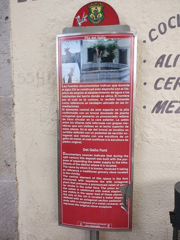
Photographed by J. Makali Bruton, September 30, 2021
1. Del Gallo Font Marker

Las Fuentes documentales indican que durante el siglo XIX se construyó este depósito con el Objetivo de ampliar el abastecimiento de agua a los habitantes del barrio donde se ubica. El nombre por el cual se le conoce, lo recibió tomando como referencia un tendajón ubicado en las inmediaciones.
El elemento central de este espacio es la pila conformada con un brocal dovelado de planta octogonal que presenta un pronunciado relieve de trazo circular en la cara exterior. La unión entre los sillares está reforzada con grapas metálicas que son visibles en el lecho superior de estas piezas. En el eje del brocal se localiza un surtidor definido con un pedestal de sección octagonal que remata con una escultura de un gallo de metal, el cual sustituye a la escultura de piedra original.
Del Gallo Font
Documentary sources indicate that during the 19th century this deposit was built with the purpose of expanding the water supply to the inhabitants of the district where it is located. The name by which it is known, received it taking as reference a traditional grocery store located in the vicinity.
The
this page online
Erected by Honorable Ayuntamiento de Morelia.
Topics. This historical marker is listed in this topic list: Colonial Era.
Location. 19° 42.039′ N, 101° 11.179′ W. Marker is in Morelia, Michoacán. It is in Centro histórico de Morelia. It is at the intersection of Juan José de Lejarza and Antonio Alzate, on the left when traveling south on Juan José de Lejarza. Touch for map. Marker is in this post office area: Morelia MIC 58000, Mexico. Touch for directions.

Regionally, this marker is in Western Mexico, in the Bajío, and on the Pacific Coast. Globally, it is in North America, specifically in Mesoamerica, on the Ring

Photographed by J. Makali Bruton, September 30, 2021
2. Del Gallo Font and Marker
Other nearby markers. At least 8 other markers are within walking distance of this marker: Third Battle of Puebla (a few steps from this marker); Ex-convent of San Francisco (approx. 0.3 kilometers away); Adolfo Tremontels (approx. 0.3 kilometers away); José María Morelos y Pavón (approx. 0.3 kilometers away); Heroes of 1847 Garden (approx. 0.3 kilometers away); House of the Advisor Terán (approx. 0.4 kilometers away); The Church of 'Capuchinas' (approx. 0.4 kilometers away); Heroes of '47 Garden (approx. 0.4 kilometers away). Touch for a list and map of all markers in Morelia.
Credits. This page was last revised on April 4, 2025. It was originally submitted on October 27, 2021, by J. Makali Bruton of Washington, District of Columbia. This page has been viewed 229 times since then and 11 times this year. Photos: 1, 2. submitted on October 27, 2021, by J. Makali Bruton of Washington, District of Columbia.
