Cape Foulwind in Buller District, West Coast, New Zealand — Southwestern Pacific Ocean
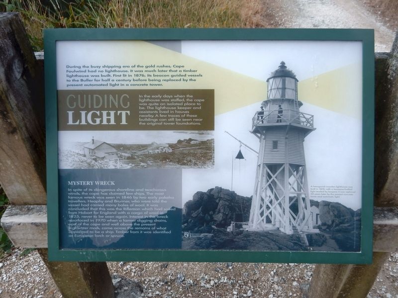
Guiding Light
In the early days when the lighthouse was staffed, the cape was quite an isolated place to be. The lighthouse keeper and assistants lived in houses nearby. A few traces of these buildings can still be seen near the original tower foundations.
Mystery Wreck
In spite of its dangerous shoreline and treacherous winds, the cape has claimed few ships. The most famous wreck was seen in 1846 by two early pakeha travellers, Heaphy and Brunner, who were told the vessel had carried many bales of wool. It was concluded that this was the Rifleman which had sailed from Hobart for England with a cargo of wool in 1825, never to be seen again. Interest in the wreck resurfaced in 1970 when a farmer digging drains, east of the cape and well above the present highwater mark, came across the remains of what appeared to be a ship. Timber from it was identified as European larch or spruce.
Captions
[Left] Cape Foulwind lighthouse keepers residence.
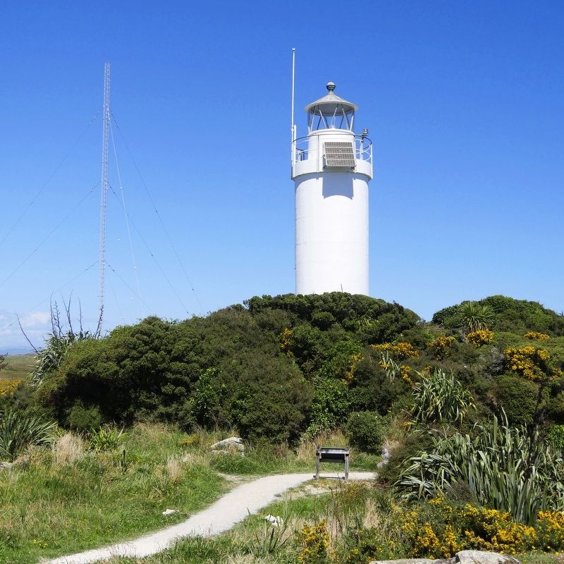
[Right] A hexagonal wooden lighthouse was built in 1876, with a kerosene-fuelled light tended by keepers. It was replaced 50 years later by the present concrete tower and automatic light.
Erected by New Zealand Department of Conservation.
Topics. This historical marker is listed in these topic lists: Communications • Disasters • Waterways & Vessels. A significant historical year for this entry is 1876.
Location. 41° 44.955′ S, 171° 27.971′ E. Marker is in Cape Foulwind, West Coast, in Buller District. Marker is on Cape Foulwind Walkway, 0.3 kilometers west of Lighthouse Road. Touch for map. Marker is at or near this postal address: Cape Foulwind Walkway, Cape Foulwind, West Coast 7892, New Zealand. Touch for directions.
Also see . . . Cape Foulwind Lighthouse. Wikipedia entry on the lighthouse. (Submitted on October 28, 2021, by Duane and Tracy Marsteller of Murfreesboro, Tennessee.)
Credits. This page was last revised on February 12, 2022. It was originally submitted on October 28, 2021, by Duane and Tracy Marsteller of Murfreesboro, Tennessee. This page has been viewed 186 times since then and 7 times this year. Photos: 1, 2. submitted on October 28, 2021, by Duane and Tracy Marsteller of Murfreesboro, Tennessee.

