Montclair in Oakland in Alameda County, California — The American West (Pacific Coastal)
Shepherd Canyon Highway That Almost Was
Inscription.
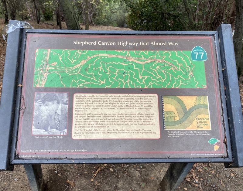
Standing here amidst this beautiful natural landscape it is hard to imagine that tranquil,
Shepherd Canyon came very close to vanishing under concrete. With the growing
popularity of the automobile in the 1950s and the phasing out of the Sacramento
Northern Railroad, CALTRANS saw Shepherd Canyon as a prime location for Route 77,
which would have connected Contra Costa County to Oakland. Route 77 would have
run through the canyon as an extension of Park Boulevard with an interchange at
Highway 13.
Community activism played a key role in persuading government officials to protect the canyon. Residents were concerned that the new freeway was planned in spite of the fact that Highway 24 was just two miles north. They also wanted to protect the canyon and to encourage alternative modes of transportation. In 1972, Assembly Member Ken Meade officially protected the canyon from freeway development with the introduction of Assembly Bill 561.
With the downfall of the freeway plan, the Shepherd Canyon Corridor Plan was shaped by volunteers and is now the guiding document that is used in preserving the canyon.
Research, text, and installation by Daniel Levy, for an Eagle Scout Project.
Erected by Shepherd Canyon Homeowners Association, Daniel Levy.
Topics. This historical marker is listed in this topic list: Roads & Vehicles. A significant historical year for this entry is 1972.
Location. 37° 49.483′ N, 122° 12.317′ W. Marker is in Oakland, California, in Alameda County. It is in Montclair. Marker can be reached from Montclair Railroad Trail. Touch for map. Marker is in this post office area: Oakland CA 94611, United States of America. Touch for directions.
Other nearby markers. At least 8 other markers are within 2 miles of this marker, measured as the crow flies. The Railroad History of Shepherd Canyon (about 600 feet away, measured in a direct line); The Shepherd Canyon Corridor Plan (approx. 0.4 miles away); Corpus Christi Church (approx. one mile away); Leimert Bridge (approx. one mile away); a different marker also named Leimert Bridge (approx. one mile away); The Funeral Pyre (approx. 1.1 miles away); Pyramid to Moses (approx. 1.1 miles away); Voyage of the Brooklyn (approx. 1.2 miles away). Touch for a list and map of all markers in Oakland.
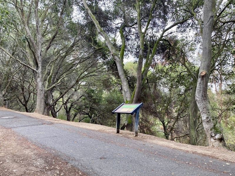
More about this marker. The marker is located on the Montclair Railroad Trail, about 0.4 miles roughly from the main trailhead (at Medau Place/LaSalle Avenue). The trail is of a relatively gentle grade and is well-paved between the trailhead and the marker.
Also see . . . State Route 77 (California Highways). A
brief presentation and discussion of CA Highway 77, most of which was never built (i.e., the Shepherd Canyon segment, as well as other less controversial segments).
On the demise of the plan to head the freeway east from Oakland: "However, by the 1970’s interest in alternative modes of transportation drew attention to the fact that CALTRANS had planned Route 77 prior to the advent of BART, and only two miles from then existing Route 24. In an effort both to encourage alternative modes of transportation, and to preserve Shepherd Canyon, this was then one of the largest undeveloped areas in Oakland, residents worked with State Assembly Member Ken Meade to cancel the Route 77 Plans. This, combined with extensive opposition, led the plan to be withdrawn in 1972. Subsequently the Shepherd Canyon Corridor Plan was developed, which shapes the use of Shepherd Canyon. As part of this plan, Shepherd Canyon Road, then called upper Park Boulevard, got its current name. Another result was that 34 acres were set aside for public use and named Shepherd Canyon Park. Provisions were made for specific parcels of land to be bought from Caltrans “at cost”, provided they be used for alternative transportation, such as trails. The old railroad right-of-way is now the Montclair Railroad Trail, one of Oakland's newest linear parks."(Submitted on October 28, 2021.)
Credits. This page was last revised on February 7, 2023. It was originally submitted on October 28, 2021, by Andrew Ruppenstein of Lamorinda, California. This page has been viewed 288 times since then and 23 times this year. Photos: 1, 2. submitted on October 28, 2021, by Andrew Ruppenstein of Lamorinda, California.

