Lexington in Middlesex County, Massachusetts — The American Northeast (New England)
Lexington Meeting Houses
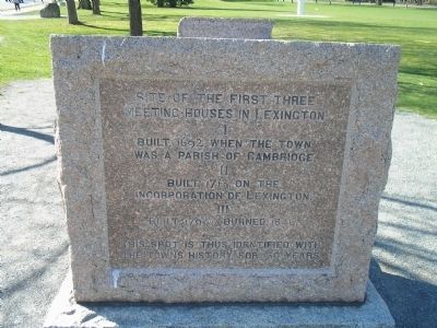
Meeting Houses in Lexington
I
Built 1692, when the town
was a parish of Cambridge:
II
Built 1713, on the
Incorporation of Lexington:
III
Built 1794: Burned, 1846.
This spot is thus identified with
the town’s history for 50 years.
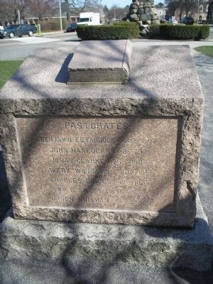
Back of Marker:
Pastorates:
Benjamin Estabrook, 1692-1697.
John Hancock, 1698 – 1752.
Jonas Clarke, 1755 – 1805.
Avery Williams, 1807 – 1815.
Charles Briggs, 1819 – 1835.
Wm. G. Sweet, 1836 – 1839.
Jason Whitman, 1845 – 1846.
Topics. This historical marker is listed in these topic lists: Colonial Era • Notable Places. A significant historical year for this entry is 1692.
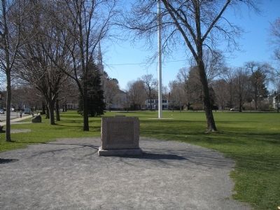
Location. 42° 26.952′ N, 71° 13.838′ W. Marker is in Lexington, Massachusetts, in Middlesex County. Marker is on Massachusetts Ave (Massachusetts Route 4), on the right when traveling west. Marker is located on the Lexington Green. Touch for map. Marker is in this post office area: Lexington MA 02420, United States of America. Touch for directions.
Other nearby markers. At least 8 other markers are within walking distance of this marker. Lexington Green (a few steps from this marker); This Flag Pole (a few steps from this marker); Marrett and Nathan Munroe House (within shouting distance of this marker); Line of the Minutemen (within shouting distance of this marker); Lexington Minuteman (within shouting distance of this marker); Prince Estabrook (within shouting distance of this marker); Battle of Lexington Monument (within shouting distance of this marker); Rendezvous of the Minute Men (within shouting distance of this marker). Touch for a list and map of all markers in Lexington.
Credits. This page was last revised on June 16, 2016. It was originally submitted on April 30, 2009, by Bill Coughlin of Woodland Park, New Jersey. This page has been viewed 1,485 times since then and 50 times this year. Photos: 1, 2, 3. submitted on April 30, 2009, by Bill Coughlin of Woodland Park, New Jersey.


