Near Point Reyes in Marin County, California — The American West (Pacific Coastal)
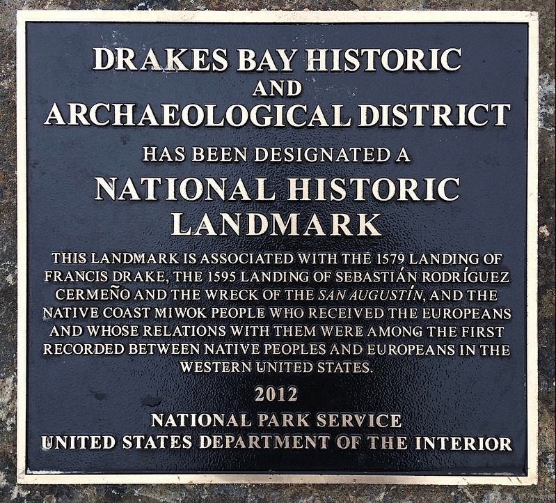
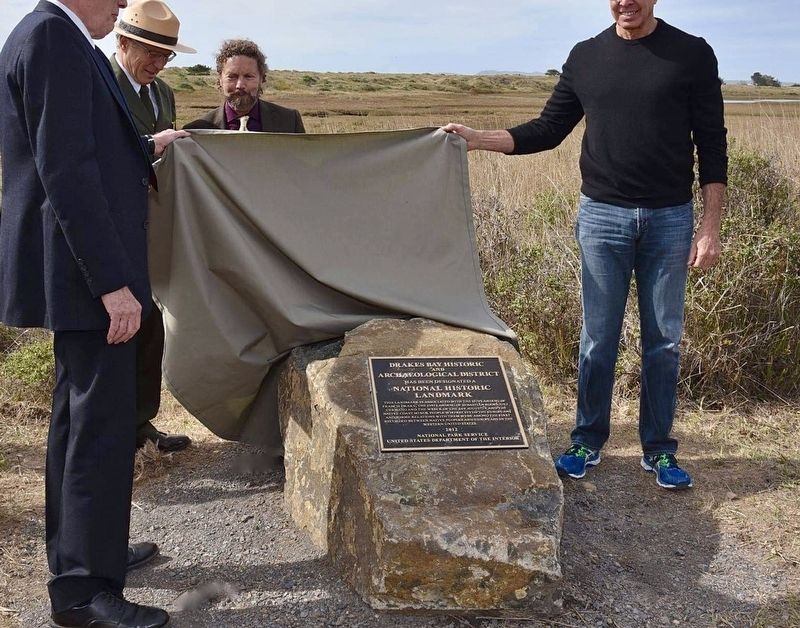
Drakes Bay
Erected 2016 by National Park Service.
Topics and series. This historical marker is listed in these topic lists: Exploration • Native Americans. In addition, it is included in the National Historic Landmarks series list. A significant historical year for this entry is 1579.
Location. 38° 1.682′ N, 122° 53.026′ W. Marker is near Point Reyes, California, in Marin County. Marker can be reached from Limantour Road, 8 miles west of Bear Valley Road. Located near the Limantour Beach parking lot. Touch for map. Marker is in this post office area: Inverness CA 94937, United States of America. Touch for directions.
Other nearby markers. At least 8 other markers are within 6 miles of this marker, measured as the crow flies. Portus Novae Albionus (approx. 3.1 miles away); Nova Albion (approx. 4.2 miles away); Cross Honoring First Protestant Service in the Future USA (approx. 4.3 miles away); Preserving Our Maritime Past (approx. 5.4 miles away); AT&T & RCA Receiving Stations (approx. 5.6 miles away); Providing Global Communications (approx. 5.6 miles away); Francis Drake (approx. 5.6 miles away); Whalewatching (approx. 5.6 miles away). Touch for a list and map of all markers in Point Reyes.
Related markers. Click here for a list of markers that are related to this marker. — Francis Drake markers.
Credits. This page was last revised on October 29, 2021. It was originally submitted on October 29, 2021, by Craig Baker of Sylmar, California. This page has been viewed 170 times since then and 29 times this year. Photos: 1, 2. submitted on October 29, 2021, by Craig Baker of Sylmar, California.

