Butte in Silver Bow County, Montana — The American West (Mountains)
The Napton
Butte National Historic Landmark District
Photographed by Barry Swackhamer, July 12, 2021
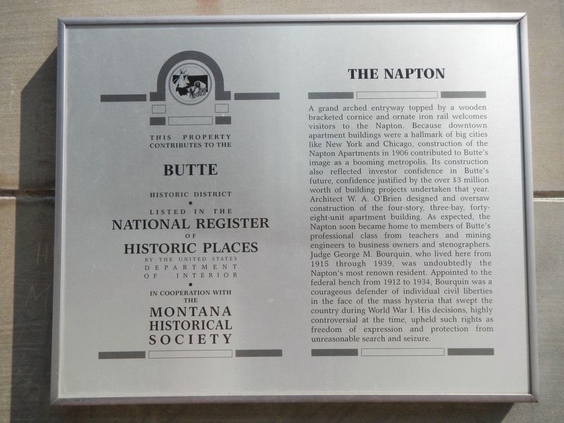
1. The Napton Marker
Inscription.
A grand arched entryway topped by a wooden bracketed cornice and ornate iron rail welcomes visitors to the Napton. Because downtown apartment buildings were a hallmark of big cities like New York and Chicago, construction of the Napton Apartments in 1906 contributed to Butte’s image as a booming metropolis. Its construction also reflected investor confidence in Butte’s future, confidence justified by the over $3 million worth of building projects undertaken that year. Architect W. A. O’Brien designed and oversaw construction of the four-story, three-bay, forty-eight-unit apartment building. As expected, the Napton soon became home to members of Butte’s professional class from teachers and mining engineers to business owners and stenographers. Judge George M. Bourquin, who lived here from 1915 through 1939, was undoubtedly the Napton’s most renown resident. Appointed to the federal bench from 1912 to 1934, Bourquin was a courageous defender of individual civil liberties in the face of the mass hysteria that swept the country during World War I. His decisions, highly controversial at the time, upheld such rights as freedom
Click or scan to see this page online
of expression and protection from unreasonable search and seizure.
Location. 46° 0.884′ N, 112° 32.097′ W. Marker is in Butte, Montana, in Silver Bow County. It is on East Granite Street near North Main Street, on the right when traveling west. Touch for map. Marker is at or near this postal address: 25 East Granite Street, Butte MT 59701, United States of America. Touch for directions.
Regionally, this marker is in andspecifically outhwest Montana, in Gold West Country, in Mining Country. It is also in the American Mountain West and in the Lewis & Clark Corridor. Globally, it is in North America, the Rocky Mountains, the Western Hemisphere, the Western World, and the Anglosphere. Historically, it finds itself in what was once Rupert’s Land and also the Louisiana Purchase.
Other nearby markers. At least 8 other markers are within
Credits. This page was last revised on January 10, 2025. It was originally submitted on October 29, 2021, by Barry Swackhamer of Brentwood, California. This page has been viewed 422 times since then and 39 times this year. Photos:1, 2. submitted on October 29, 2021, by Barry Swackhamer of Brentwood, California.