Near Wilmington in New Castle County, Delaware — The American Northeast (Mid-Atlantic)
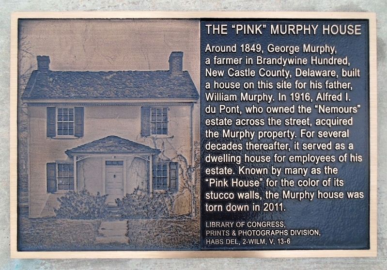
The "Pink" Murphy House
Photographed by William Fischer, Jr., October 28, 2021
1. The "Pink" Murphy House Marker
Topics. This historical marker is listed in this topic list: Agriculture. A significant historical year for this entry is 1849.
Location. 39° 46.941′ N, 75° 33.3′ W. Marker is near Wilmington, Delaware, in New Castle County. It is at the intersection of Rockland Road and Children's Drive, on the right when traveling north on Rockland Road. Touch for map. Marker is at or near this postal address: 1601 Rockland Rd, Wilmington DE 19803, United States of America. Touch for directions.

Regionally, this marker is in Greater Philadelphia. It is also in the American Mid-Atlantic, on the Delmarva Peninsula, and on the Eastern Seaboard. Globally, it is in the North Atlantic Region,
this page online
Other nearby markers. At least 8 other markers are within walking distance of this marker: duPont Carillon Tower (about 500 feet away, measured in a direct line); Water Tower (approx. 0.3 miles away); Nemours Estate (approx. 0.4 miles away); Laundry (approx. 0.4 miles away); Western Lodge (approx. 0.4 miles away); Wren's Nest (approx. half a mile away); Greenhouse Complex (approx. half a mile away); Woodland Trailhead (approx. half a mile away). Touch for a list and map of all markers in Wilmington.
Also see . . . The Murphy House (Lost Property). (Submitted on October 30, 2021, by William Fischer, Jr. of Reynoldsburg, Ohio.)
Photographed by William Fischer, Jr., October 28, 2021
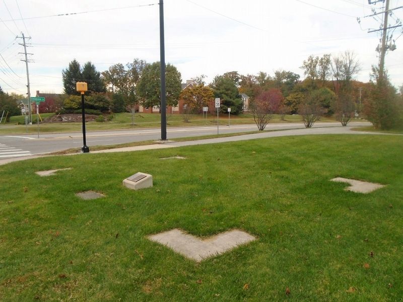
2. The "Pink" Murphy House Outline and Marker
Photographed by William Fischer, Jr., October 28, 2021
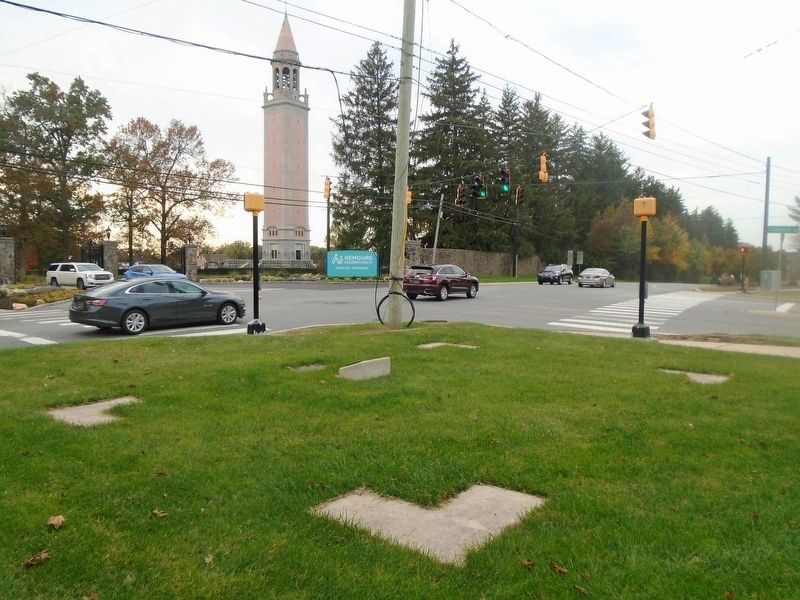
3. The "Pink" Murphy House Outline and Marker
Credits. This page was last revised on June 29, 2025. It was originally submitted on October 30, 2021, by William Fischer, Jr. of Reynoldsburg, Ohio. This page has been viewed 616 times since then and 44 times this year. Photos: 1, 2, 3. submitted on October 30, 2021, by William Fischer, Jr. of Reynoldsburg, Ohio.
