
Clarksburg in Harrison County, West Virginia — The American South (Appalachia)
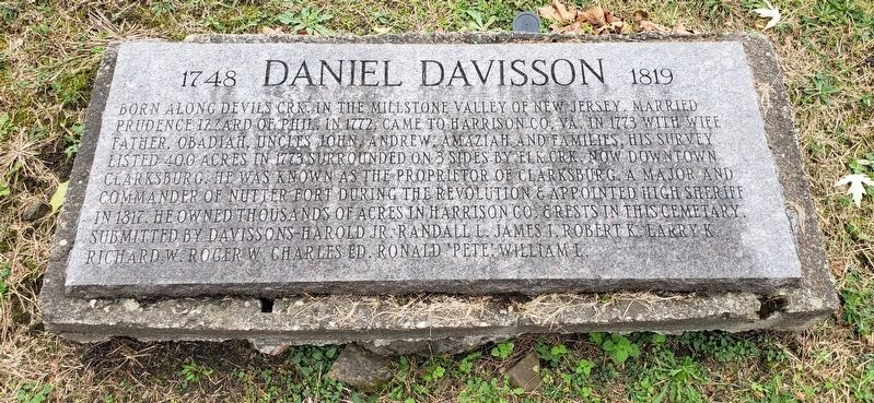
Daniel Davisson
1748 • 1819
Photographed by Bradley Owen, October 27, 2021
1. Daniel Davisson Marker
Born along Devils Crk. in the Millstone Valley of New Jersey. Married Prudence Izzard of Phil. in 1772. Came to Harrison Co. Va. in 1773 with wife father, Obadiah, uncles John, Andrew, Amaziah and families. His survey listed 400 acres in 1773 surrounded on 3 sides by Elk Crk. now downtown Clarksburg. He was known as the proprietor of Clarksburg. A major and commander of Nutter Fort during the Revolution & appointed High Sheriff in 1817. He owned thousands of acres in Harrison Co. & rests in this cemetery.
Erected by Davissons - Harold Jr. Randall L. James I. Robert K. Larry K. Richard W. Roger W. Charles Ed. Ronald 'Pete'. William L.
Topics. This historical marker is listed in these topic lists: Cemeteries & Burial Sites • Settlements & Settlers • War, US Revolutionary. A significant historical year for this entry is 1772.
Location. 39° 16.848′ N, 80° 20.73′ W. Marker is in Clarksburg, West Virginia, in Harrison County. It is on West Main Street east of Sumner Street, on the right when traveling east. Marker is located in the front portion of the Daniel Davisson DAR Cemetery. Touch for map. Marker
this page online

Regionally, this marker is in West Virginia’s Little Kanawha Valley. It is also in the American South, specifically in the Upper South, in Appalachia, and specifically in Northern Appalachia. Globally, it is in North America, the Western Hemisphere, the Western World, and the Anglosphere. Historically, it finds itself in what was once the territory of the Mississippian Culture.
Other nearby markers. At least 8 other markers are within walking distance of this marker: Daniel Davisson DAR Cemetery (a few steps from this marker); Daniel Davisson Chapter NSDAR (a few steps from this marker); Clarksburg Baptist Church (about 800 feet away, measured in a direct line); Christ Episcopal Church (about 800 feet away); Nathan Goff, Jr. House (about 800 feet away); Callery Pear (approx. 0.2 miles away); 1795 Spanish Cannon (approx. 0.2 miles away); Ritz Theatre (approx. ¼ mile away). Touch for a list and map of all markers in Clarksburg.
Photographed by Bradley Owen, October 27, 2021
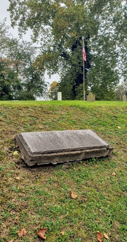
2. Daniel Davisson Marker
Davisson grave can be seen in the background.
Photographed by Bradley Owen, October 27, 2021
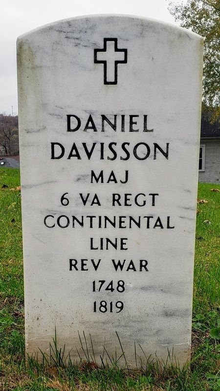
3. Daniel Davisson Grave
Credits. This page was last revised on November 2, 2021. It was originally submitted on October 31, 2021, by Bradley Owen of Morgantown, West Virginia. This page has been viewed 645 times since then and 49 times this year. Photos: 1, 2, 3. submitted on October 31, 2021, by Bradley Owen of Morgantown, West Virginia. • Bill Pfingsten was the editor who published this page.
