University near Cottonwood Heights in Salt Lake County, Utah — The American Mountains (Southwest)
Native American Village
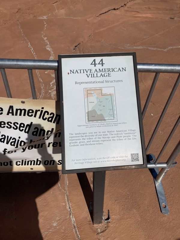
Representational Structure
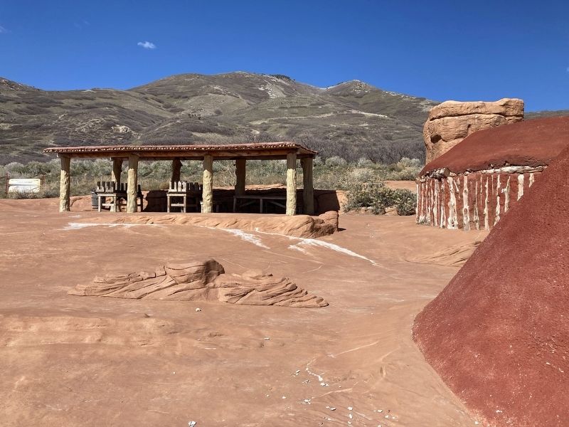
The landscapes you see in our Native American Village represent the diversity of our state. The redrock “sandstone” represents the tribes of the Navajo and Piute people. The granite, grass, and stream represent the tribes of the Ute, Goshute, and Shoshone tribes.
[Caption:]
Approximate territory of Utah's Native American tribes just prior to white settlement in 1847.
Erected by This Is The Place Foundation. (Marker Number 44.)
Topics. This historical marker is listed in these topic lists: Native Americans • Natural Features • Settlements & Settlers. A significant historical year for this entry is 1847.
Location. 40° 45.273′ N, 111° 48.704′ W. Marker is near Cottonwood Heights, Utah, in Salt Lake County. It is in University. Marker is on First South, 0.2 miles east of First East, on the left when traveling east. Touch for map. Marker is at or near this postal address: 2601 East Sunnyside Avenue, Salt Lake City UT 84108, United States of America. Touch for directions.
Other nearby markers. At least 8 other markers are within walking distance of this marker. Mary Fielding Smith Home (within shouting distance of this marker); Manti Fort Gristmill (about 500 feet away, measured in a direct line); William Atkin Home (about 600 feet away); Early Monuments (about 600 feet away); This Is The Place Monuments (about 700 feet away); Handcarts (about 800 feet away); Deseret Telegraph Office (approx. 0.2 miles away); Niels and Josephine Anderson Home (approx. 0.2 miles away). Touch for a list and map of all markers in Cottonwood Heights.
Credits. This page was last revised on February 16, 2023. It was originally submitted on October 31, 2021, by Connor Olson of Kewaskum, Wisconsin. This page has been viewed 280 times since then and 17 times this year. Photos: 1, 2. submitted on October 31, 2021, by Connor Olson of Kewaskum, Wisconsin. • Devry Becker Jones was the editor who published this page.

