Near Oglesby in LaSalle County, Illinois — The American Midwest (Great Lakes)
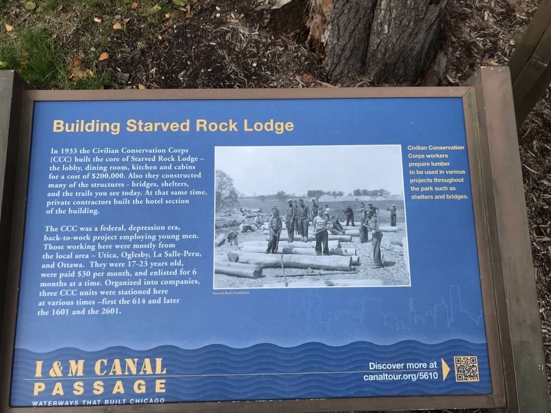
Building Starved Rock Lodge
Photographed by Duane and Tracy Marsteller, October 30, 2021
1. Building Starved Rock Lodge Marker
The CCC was a federal, depression era, back-to-work project employing young men. Those working here were mostly from the local area — Utica, Oglesby, La Salle-Peru, and Ottawa. They were 17-23 years old, were paid $30 per month, and enlisted for 6 months at a time. Organized into companies, three CCC units were stationed here at various times — first the 614 and later the 1601 and the 2601.
Caption: Civilian Conservation Corps workers prepare lumber to be used in various projects throughout the park such as shelters and bridges. Starved Rock Foundation
Erected by I&M Canal Corridor Association.
Topics and series. This historical marker is listed in these topic lists: Architecture • Charity & Public Work • Parks & Recreational Areas. In addition, it is included in the Civilian Conservation Corps (CCC)
this page online
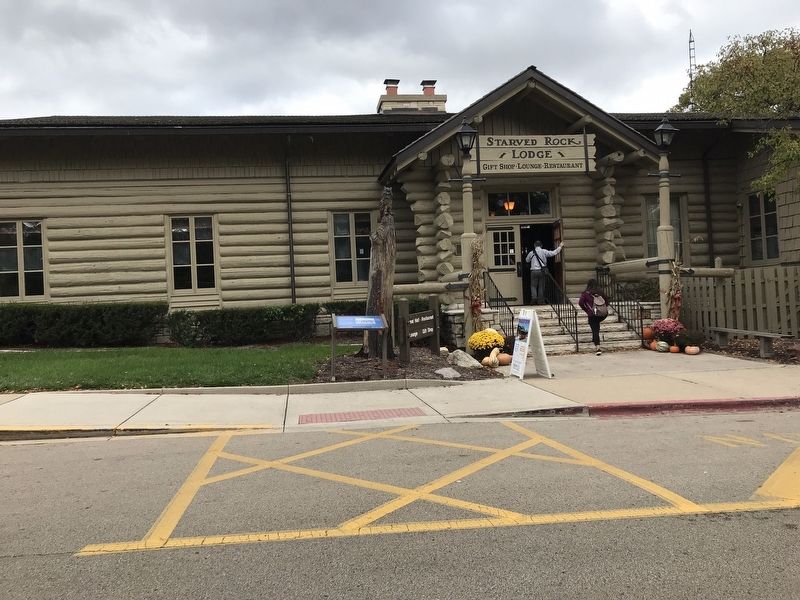
Location. 41° 19.15′ N, 88° 59.623′ W. Marker is near Oglesby, Illinois, in LaSalle County. It is on Lodge Lane, on the right when traveling west. Marker is in front of the lodge's gift shop/lounge/restaurant entrance. Touch for map. Marker is at or near this postal address: 1 Lodge Ln, Oglesby IL 61348, United States of America. Touch for directions.

Regionally, this marker is in Northern Illinois and specifically in the Illinois River Valley. It is also in the American Midwest and in the Corn Belt. Globally, it is in North America, the Western Hemisphere, the Western World, and the Anglosphere. Historically, it finds itself in what was once the territory of the Mississippian Culture and also the Northwest Territory.
Other nearby markers. At least 8 other markers are within walking distance of this marker: Commemorating the Deeds of the Union Veterans of the Civil War (about 600 feet away, measured in a direct line); René Robert Cavelier Sieur de La Salle (about 700 feet away); Starved Rock (about 700 feet away); Fort St. Louis (approx. 0.2 miles away); This Plaque is Placed in Memory of the Patriots
Photographed by Duane and Tracy Marsteller, October 30, 2021
2. Building Starved Rock Lodge Marker
Also see . . . Illinois MPS Starved Rock Lodge and Cabins (PDF). National Register of Historic Places nomination submitted for the lodge. (Submitted on October 31, 2021, by Duane and Tracy Marsteller of Murfreesboro, Tennessee.)
Credits. This page was last revised on November 1, 2021. It was originally submitted on October 31, 2021, by Duane and Tracy Marsteller of Murfreesboro, Tennessee. This page has been viewed 822 times since then and 72 times this year. Photos: 1, 2. submitted on October 31, 2021, by Duane and Tracy Marsteller of Murfreesboro, Tennessee.
