Near Mannford in Creek County, Oklahoma — The American South (West South Central)
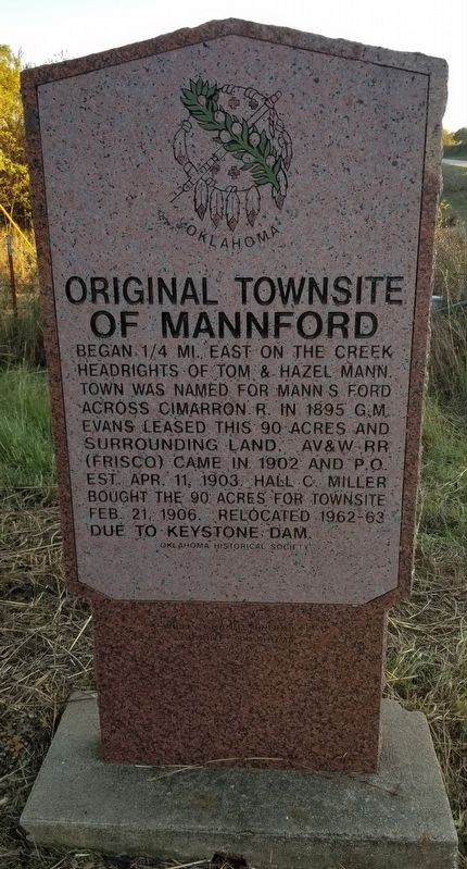
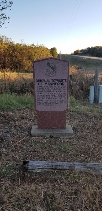
Original Townsite of Mannford
Erected by Oklahoma Historical Society.
Topics. This historical marker is listed in these topic lists: Parks & Recreational Areas • Settlements & Settlers • Waterways & Vessels. A significant historical date for this entry is February 21, 1906.
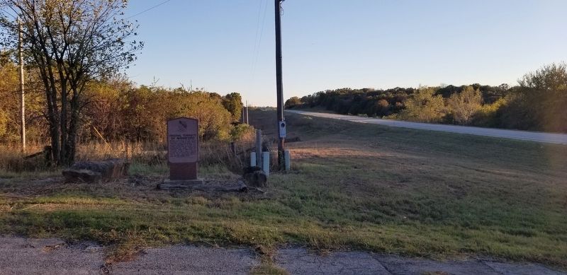
Location. 36° 8.897′ N, 96° 23.969′ W. Marker is near Mannford, Oklahoma, in Creek County. Marker is at the intersection of State Highway 48 and West 11th Street (County Highway 600), on the right when traveling north on State Highway 48. The marker is located at the old Mannford Ramp Park road which is now closed. Touch for map. Marker is in this post office area: Mannford OK 74044, United States of America. Touch for directions.
Other nearby markers. At least 2 other markers are within 16 miles of this marker, measured as the crow flies. Battle of Round Mountain (approx. 6.4 miles away); Old Faithful (approx. 15.6 miles away).
Also see . . . Mannford, Oklahoma.
Mannford is a city in Creek County in the northeastern part of the U.S. state of Oklahoma. In 2010, the population was 3,076, up from 2,095 at the 2000 census. The city sits next to Keystone Lake and claims to be the "Striped Bass Capital of the World". Source: Wikipedia(Submitted on October 31, 2021, by James Hulse of Medina, Texas.)
Credits. This page was last revised on October 31, 2021. It was originally submitted on October 31, 2021, by James Hulse of Medina, Texas. This page has been viewed 549 times since then and 89 times this year. Photos: 1, 2, 3. submitted on October 31, 2021, by James Hulse of Medina, Texas.


