Near Winslow in Navajo County, Arizona — The American Mountains (Southwest)
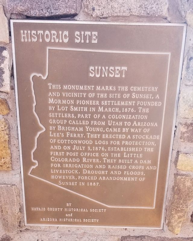
Sunset
Historic Site
Erected by Navajo County Historical Society and Arizona Historical Society.
Topics. This historical marker is listed in these topic lists: Cemeteries & Burial Sites • Churches & Religion • Settlements & Settlers. A significant historical month for this entry is March 1876.
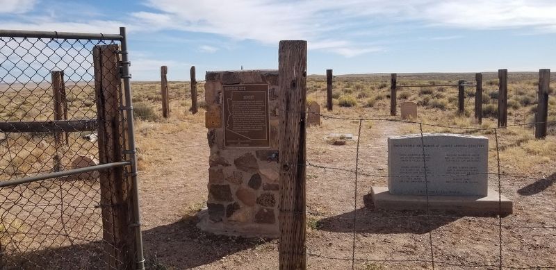
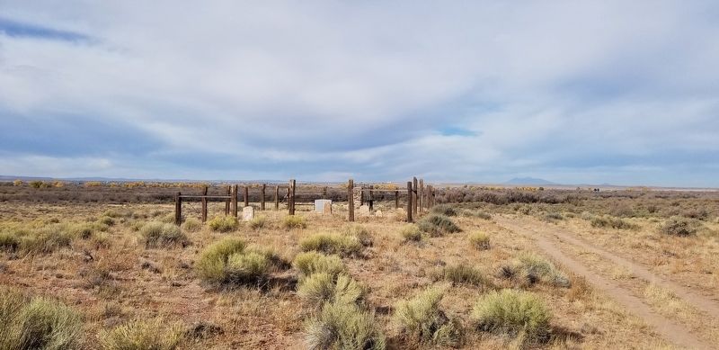
Location. 35° 2.808′ N, 110° 39.601′ W. Marker is near Winslow, Arizona, in Navajo County. Marker can be reached from Homolovi State Park Entrance Road, 2.1 miles west of Arizona Route 87. The marker is located 1/2 mile west of the Homolovi State Park Visitor Center and Gift Shop down a dirt trail to the Sunset Cemetery and marker. Touch for map. Marker is in this post office area: Winslow AZ 86047, United States of America. Touch for directions.
Other nearby markers. At least 8 other markers are within 3 miles of this marker, measured as the crow flies. General Lot Smith (a few steps from this marker); Mormon Pioneers Along the Little Colorado River (approx. 0.4 miles away); Let It Burn (approx. 0.4 miles away); Brigham City (approx. 1.4 miles away); Remembrance Garden (approx. 2.4 miles away); The Winslow Bridge (approx. 2.4 miles away); Sunset Crossing (approx. 2˝ miles away); La Posada Hotel, Winslow, Arizona (approx. 2.6 miles away). Touch for a list and map of all markers in Winslow.
Credits. This page was last revised on November 2, 2021. It was originally submitted on November 2, 2021, by James Hulse of Medina, Texas. This page has been viewed 204 times since then and 21 times this year. Photos: 1, 2, 3. submitted on November 2, 2021, by James Hulse of Medina, Texas.


