
Sisseton in Roberts County, South Dakota — The American Midwest (Upper Plains)
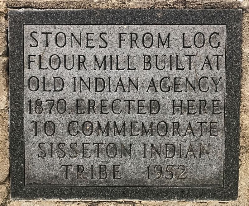
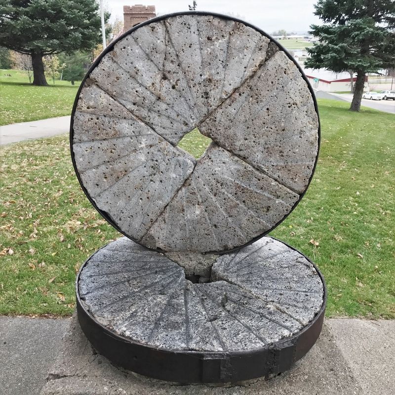
Stones from Log Flour Mill
October 30, 2021
1. Stones from Log Flour Mill Marker
Erected here to commemorate Sisseton Indian Tribe 1952
Erected 1952. (Marker Number 627.)
Topics and series. This historical marker is listed in these topic lists: Indigenous Peoples and Communities • Industry & Commerce. In addition, it is included in the South Dakota State Historical Society Markers series list. A significant historical year for this entry is 1870.
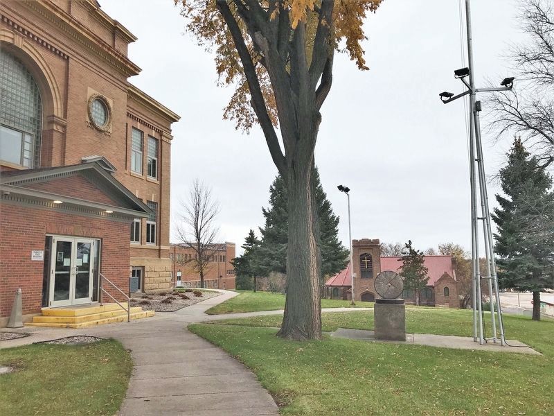
Location. 45° 39.853′ N, 97° 2.881′ W. Marker is in Sisseton, South Dakota, in Roberts County. It is on 2nd Avenue East north of Maple Street East, on the right when traveling north. The marker is located at the Roberts County Courthouse in Sisseton. Touch for map. Marker is at or near this postal address: 411 2nd Ave E, Sisseton SD 57262, United States of America. Touch for directions.

Regionally, this marker is in the Sisseton-Wahpeton Oyate and in East River. It is also in the American Midwest, in the Lewis & Clark Corridor, in the Corn Belt, on the prairies, and on the Northern Plains. Globally, it is in North America, the Western Hemisphere, the Western World, and the Anglosphere.
this page online
Other nearby markers. At least 8 other markers are within 8 miles of this marker, measured as the crow flies: Roberts County Veterans Memorial (a few steps from this marker); Dedicated To All Veterans (approx. half a mile away); Little Paul Mazakutemani (approx. 6.1 miles away); The Continental Divide (approx. 6.2 miles away); Two Brothers (approx. 6.3 miles away); Two Sisters (approx. 6.3 miles away); Two Companions (approx. 6.3 miles away); Scandia (approx. 7.6 miles away). Touch for a list and map of all markers in Sisseton.
October 30, 2021
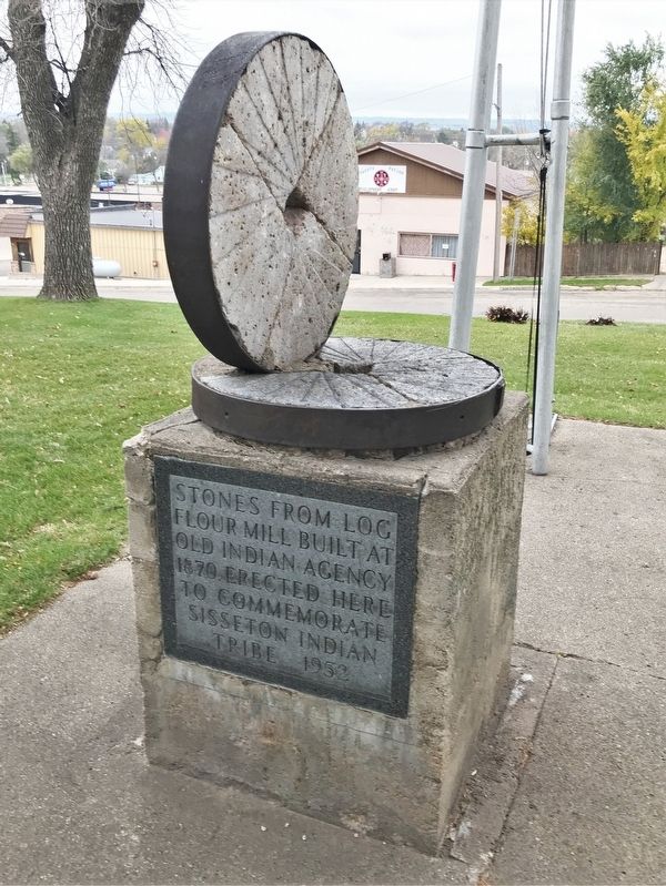
2. Stones from Log Flour Mill Marker
October 30, 2021
3. Stones from Log Flour Mill Marker at the Roberts County Courthouse
October 30, 2021
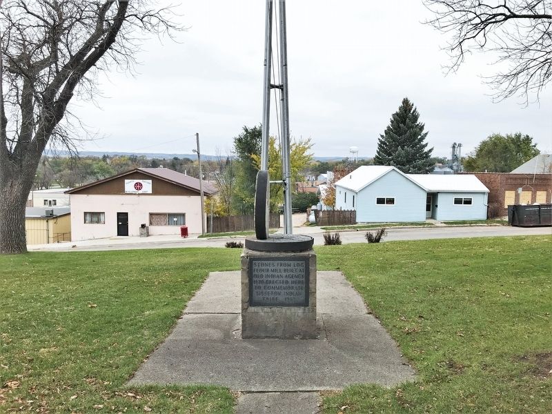
4. Stones from Log Flour Mill Marker, from the east
October 30, 2021
5. Stones from Log Flour Mill
Credits. This page was last revised on November 3, 2021. It was originally submitted on November 3, 2021. This page has been viewed 337 times since then and 23 times this year. Photos: 1, 2, 3, 4, 5. submitted on November 3, 2021. • J. Makali Bruton was the editor who published this page.
