Del Rio in Val Verde County, Texas — The American South (West South Central)
Camp Michie
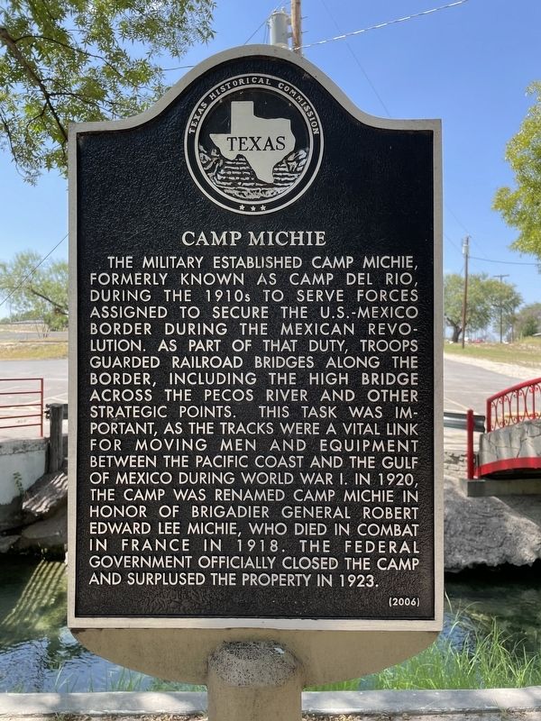
The military established Camp Michie, formerly known as Camp Del Rio, during the 1910s to serve forces assigned to secure the U.S.-Mexico border during the Mexican Revolution. As part of that duty, troops guarded railroad bridges along the border, including the High Bridge across the Pecos River and other strategic points. This task was important, as the tracks were a vital link for moving men and equipment between the Pacific Coast and the Gulf of Mexico during World War I. In 1920, the camp was renamed Camp Michie in honor of Brigadier General Robert Edward Lee Michie, who died in combat in France in 1918. The federal government officially closed the camp and surplused the property in 1923.
Erected 2006 by Texas Historical Commission. (Marker Number 13659.)
Topics. This historical marker is listed in these topic lists: Forts and Castles • War, World I • Wars, Non-US.
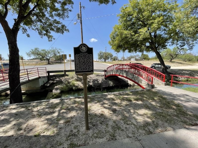
Location. 29° 22.052′ N, 100° 53.108′ W. Marker is in Del Rio, Texas, in Val Verde County. Marker is on Ogden Street, on the right when traveling north. Marker is located in Moore Park, near the entrance to the Moore Park swimming pool. Touch for map. Marker is in this post office area: Del Rio TX 78840, United States of America. Touch for directions.
Other nearby markers. At least 8 other markers are within walking distance of this marker. Cal Rodgers and the Vin Fiz (about 500 feet away, measured in a direct line); Val Verde County (about 700 feet away); U.S. Army Camel Corps (approx. 0.2 miles away); Site of Camp Del Rio (approx. ¼ mile away); Langston School (approx. ¼ mile away); San Felipe Springs (approx. half a mile away); San Felipe Independent School District (approx. 0.7 miles away); San Felipe High School (approx. 0.7 miles away). Touch for a list and map of all markers in Del Rio.
Also see . . . Camp Del Rio - The Handbook of Texas Online. Texas State Historical Association (TSHA) (Submitted on November 4, 2021, by Brian Anderson of Humble, Texas.)
Credits. This page was last revised on November 4, 2021. It was originally submitted on November 4, 2021, by Brian Anderson of Humble, Texas. This page has been viewed 238 times since then and 33 times this year. Photos: 1, 2. submitted on November 4, 2021, by Brian Anderson of Humble, Texas.

