Near Vatia in Vaifanua County, American Samoa — Pacific Ocean (Oceania)
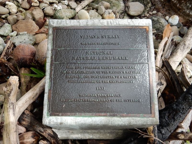
Vai'ava Strait
National
Natural Landmark
This site possesses exceptional value
as an illustration of the nation's natural
heritage and contributes to a better
understanding of the environment
1972
National Park Service
United States Department of the Interior
Topics and series. This historical marker is listed in these topic lists: Environment • Landmarks • Waterways & Vessels. In addition, it is included in the National Natural Landmarks series list. A significant historical year for this entry is 1972.
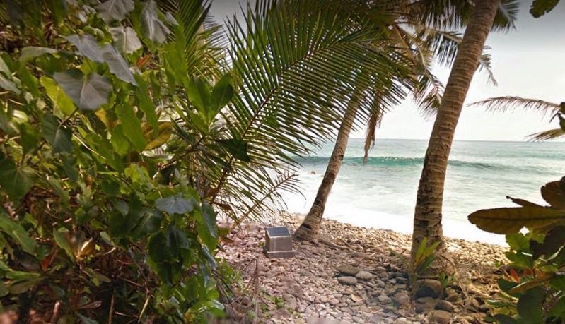
Location. 14° 14.451′ S, 170° 40.274′ W. Marker is near Vatia, American Samoa, in Vaifanua County. Marker can be reached from American Samoa Route 006. Marker is in National Park of American Samoa on Tutuila Island. It is on the Pola Island Trail approximately 0.3 miles from the terminus of Route 006. The trail is fairly flat but goes over rocky and slippery terrain on the beach. Touch for map. Marker is in this post office area: Pago Pago AS 96799, United States of America. Touch for directions.
Other nearby markers. At least 1 other marker is within 4 miles of this marker, measured as the crow flies. Blunts Point Naval Gun Site (approx. 3.1 miles away).
Also see . . .
1. Vaiʻava Strait. Wikipedia entry on the national landmark, a sheer cliff formed by waves eroding volcanic rock. (Submitted on November 8, 2021, by Duane and Tracy Marsteller of Murfreesboro, Tennessee.)
2. Vai'ava Strait. Details and photographs of the landmark by Alluring World. (Submitted on November 8, 2021, by Duane and Tracy Marsteller of Murfreesboro, Tennessee.)
Credits. This page was last revised on April 10, 2022. It was originally submitted on November 4, 2021, by Duane and Tracy Marsteller of Murfreesboro, Tennessee. This page has been viewed 213 times since then and 31 times this year. Photos: 1. submitted on November 4, 2021, by Duane and Tracy Marsteller of Murfreesboro, Tennessee. 2. submitted on November 5, 2021, by Duane and Tracy Marsteller of Murfreesboro, Tennessee.

