Clemson in Pickens County, South Carolina — The American South (South Atlantic)
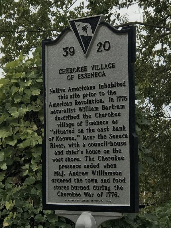
Cherokee Town of Esseneca
Erected 2016 by Clemson University. (Marker Number 39-20.)
Topics. This historical marker is listed in these topic lists: Anthropology & Archaeology • Government & Politics • Native Americans • Settlements & Settlers. A significant historical year for this entry is 1775.
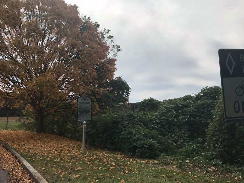
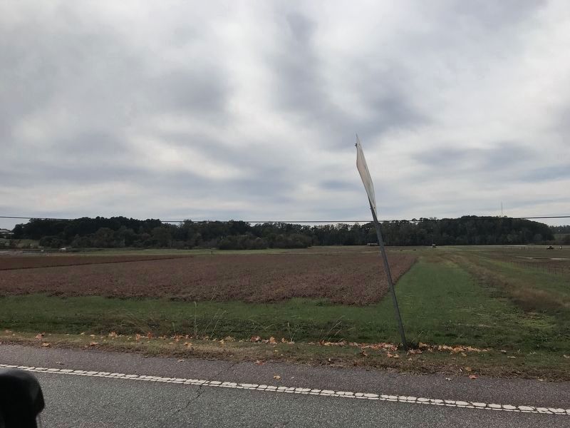
Location. 34° 40.477′ N, 82° 50.667′ W. Marker is in Clemson, South Carolina, in Pickens County. Marker is on Perimeter Road just south of Centennial Boulevard, on the right when traveling south. Touch for map. Marker is in this post office area: Clemson SC 29631, United States of America. Touch for directions.
Other nearby markers. At least 8 other markers are within walking distance of this marker. Asbury F. Lever (about 700 feet away, measured in a direct line); Calhoun Plantation Cemetery (approx. 0.2 miles away); Woodland Cemetery Clemson University / Fort Hill Slave and Convict Cemetery (approx. 0.2 miles away); Howard's Rock (approx. 0.3 miles away); William Maxwell Poe Plaza (approx. 0.3 miles away); Memorial Park / The Scroll of Honor (approx. 0.3 miles away); Fort Hill Slave Quarters / Clemson College Convict Stockade (approx. 0.3 miles away); Sirrine Hall (approx. 0.4 miles away). Touch for a list and map of all markers in Clemson.
Also see . . .
1. Long before it was a university or plantation, Clemson's campus was home to the Cherokee. News article by Zee Nicholson in the Greenville News, posted Nov. 26, 2020. (Submitted on November 8, 2021, by Duane and Tracy Marsteller of Murfreesboro, Tennessee.)
2. Isunigu. Wikipedia entry on the Cherokee town under one of its names. (Submitted on November 8, 2021, by Duane and Tracy Marsteller of Murfreesboro, Tennessee.)
Credits. This page was last revised on November 15, 2021. It was originally submitted on November 6, 2021, by Duane and Tracy Marsteller of Murfreesboro, Tennessee. This page has been viewed 773 times since then and 129 times this year. Photos: 1. submitted on November 6, 2021, by Duane and Tracy Marsteller of Murfreesboro, Tennessee. 2, 3. submitted on November 8, 2021, by Duane and Tracy Marsteller of Murfreesboro, Tennessee. • Devry Becker Jones was the editor who published this page.


