Near Walhalla in Oconee County, South Carolina — The American South (South Atlantic)
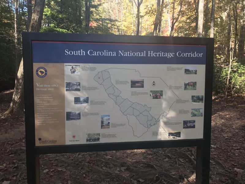
South Carolina National Heritage Corridor
Inscription.
[Listed from north to south]
Oconee Located on the edge of the Blue Ridge Mountains, Oconee County is known for nature-based activities such as boating, birding, backpacking, and camping
Pickens Pickens County has many beautiful waterfalls, excellent recreational lakes, two unique state parks, and is the home of the Clemson University Tigers.
Anderson Nestled in the Piedmont, Anderson County is home to the city of Anderson. Found in its more rural environs are ante-bellum plantations and the historic village of Pendleton.
Abbeville Abbeville County, named for a French town, is known for its historic 19th-century county seat with an historic town square, opera house, and brick and cobblestone streets.
Greenwood While Greenwood County is known today for its diverse business economy, a famous Revolutionary War battle took place here at the Ninety Six National Historic Site in 1781.
McCormick McCormick County boasts some of the finest fishing and boating on Lake Thurmond, a “Book Town” in Willington, and dining and antiquing in McCormick.
Aiken Aiken County is known for horse-related activities such as race horse training, the Triple Crown equestrian series, polo events, and its unique “cottages.”
Orangeburg Orangeburg County is home to the Edisto Memorial Gardens on the banks of the Edisto River, the longest free-flowing black water river in North America.
Barnwell In Barnwell County is the historic county seat of Barnwell, and just down the road is a Mennonite colony and the famous Healing Springs.
Bamberg History abounds in Bamberg County at the Rivers Bridge State Historic Site, where Confederate soldiers made a stand against against the advancing Union Army in February 1863.
Dorchester Dorchester County is known for its historic plantations, gardens, settlements, and the 19th century resort town of Summerville.
Colleton Colleton County is home to the ACE Basin National Wildlife Refuge. Formed by the Ashepoo, Combahee and Edisto rivers, it is one of the largest estuaries on the East Coast.
Charleston Charleston County is the heart of the Lowcountry with its historic city of Charleston, its plantations, gardens, architecture, cuisine, and unique Gullah culture.
Erected by South Carolina National Heritage Corridor.
Topics. This historical marker is listed in these topic lists: Environment
• Industry & Commerce • War, US Civil • War, US Revolutionary. A significant historical year for this entry is 1781.
Location. 34° 48.43′ N, 83° 7.29′ W. Marker is near Walhalla, South Carolina, in Oconee County. Marker can be reached from Stumphouse Tunnel Road near State Highway 28, on the right when traveling west. Marker is near the path to the Issaqueena Falls overlook. Touch for map. Marker is in this post office area: Walhalla SC 29691, United States of America. Touch for directions.
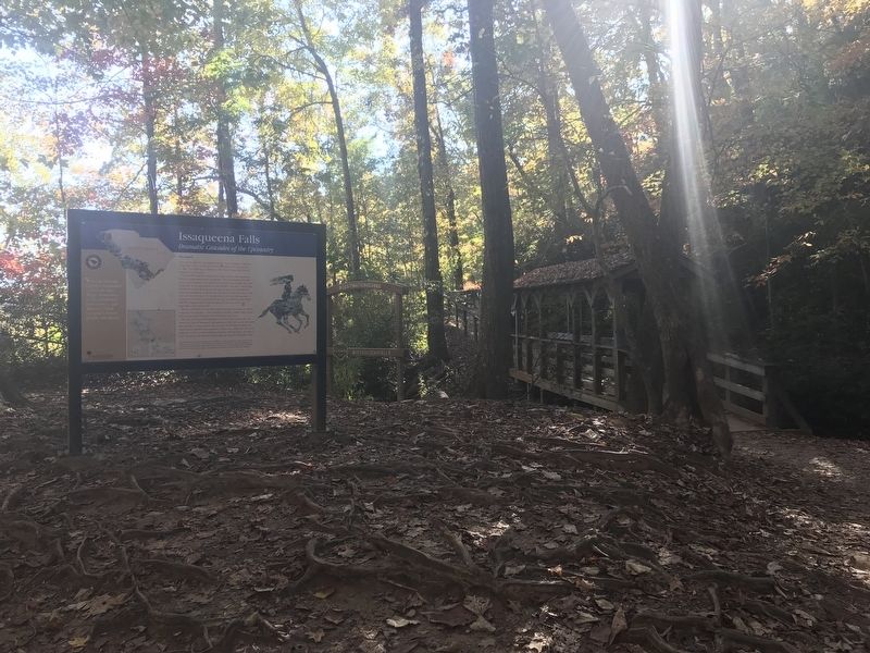
Other nearby markers. At least 8 other markers are within 4 miles of this marker, measured as the crow flies. Issaqueena Falls (here, next to this marker); a different marker also named Issaqueena Falls (about 500 feet away, measured in a direct line); Stumphouse Mountain Tunnel (approx. ¼ mile away); Stumphouse Tunnel (approx. ¼ mile away); Andrew Pickens Ranger District / Oconee County (approx. 0.4 miles away); Mountain Rest School / Hillbilly Day (approx. 2.6 miles away); Chauga Town (approx. 3.6 miles away); Oconee Town (approx. 3.9 miles away). Touch for a list and map of all markers in Walhalla.
Credits. This page was last revised on November 10, 2021. It was originally submitted on November 7, 2021, by Duane and Tracy Marsteller of Murfreesboro, Tennessee. This page has been viewed 286 times since then and 15 times this year. Photos: 1. submitted on November 7, 2021, by Duane and Tracy Marsteller of Murfreesboro, Tennessee. 2. submitted on November 10, 2021, by Duane and Tracy Marsteller of Murfreesboro, Tennessee.

