Near Sunset in Pickens County, South Carolina — The American South (South Atlantic)
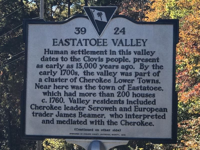
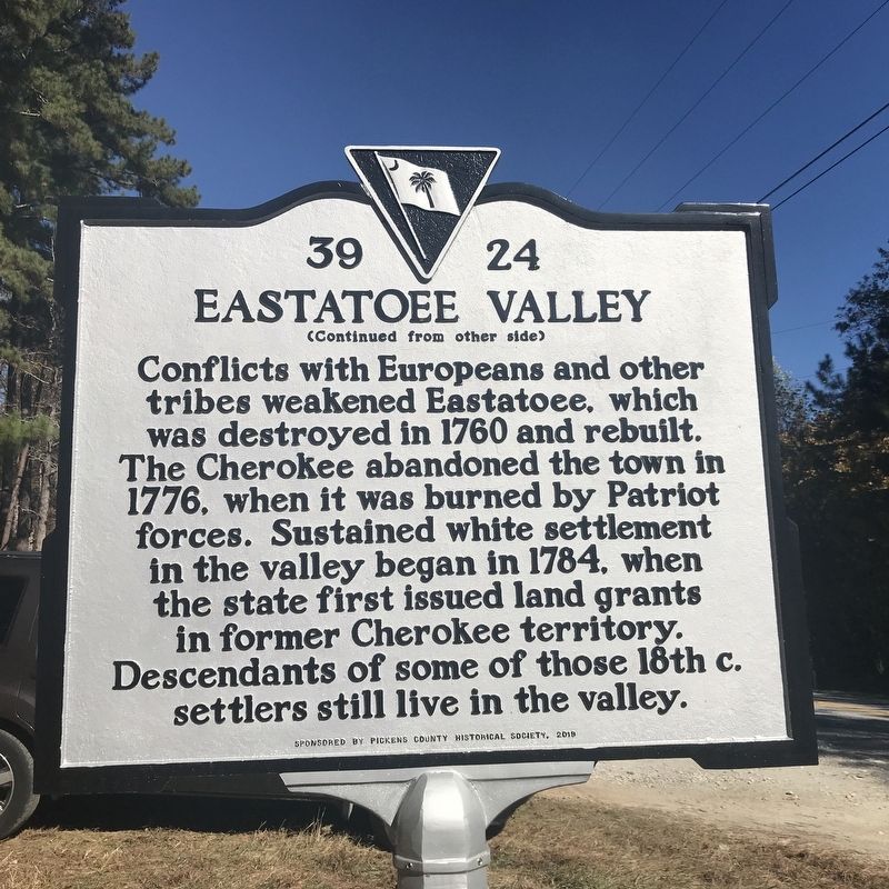
Eastatoee Valley
Conflicts with Europeans and other tribes weakened Eastatoee, which was destroyed in 1760 and rebuilt. The Cherokee abandoned the town in 1776, when it was burned by Patriot forces. Sustained white settlement in the valley began in 1784, when the state first issued land grants in former Cherokee territory. Descendants of some of those 18th c. settlers still live in the valley.
Erected 2010 by Pickens County Historical Society (sponsor). (Marker Number 39-24.)
Topics. This historical marker is listed in these topic lists: Anthropology & Archaeology • Native Americans • Settlements & Settlers • War, US Revolutionary. A significant historical year for this entry is 1776.
Location. 34° 58.34′ N, 82° 51.602′ W. Marker is near Sunset, South Carolina, in Pickens County. Marker is at the intersection of Cleo Chapman Highway and Shooting Tree Ridge Road, on the right when traveling west on Cleo Chapman Highway. Touch for map. Marker is in this post office area: Sunset SC 29685, United States of America. Touch for directions.
Other nearby markers. At least 8 other markers are within 9 miles of this marker, measured as the crow flies. Roy F. Jones Highway (approx. 1.7 miles away); Wm. Jennings Bryan Dorn Bridge (approx. 4.6 miles away); Jocassee Town (approx. 5.2 miles away); Fence Posts (approx. 6 miles away); Churn Dash (approx. 6 miles away); Moorefield Memorial Highway (approx. 7.9 miles away); Fort Prince George (approx. 8.1 miles away); Keowee Town (approx. 8.3 miles away). Touch for a list and map of all markers in Sunset.
Credits. This page was last revised on November 10, 2021. It was originally submitted on November 7, 2021, by Duane and Tracy Marsteller of Murfreesboro, Tennessee. This page has been viewed 728 times since then and 151 times this year. Photos: 1, 2. submitted on November 7, 2021, by Duane and Tracy Marsteller of Murfreesboro, Tennessee. 3. submitted on November 10, 2021, by Duane and Tracy Marsteller of Murfreesboro, Tennessee.


