Near Redfield in Spink County, South Dakota — The American Midwest (Upper Plains)
Council Rock
Indian Capitol of the Dakotas
Photographed by Ruth VanSteenwyk, March 19, 2017
1. Council Rock Marker
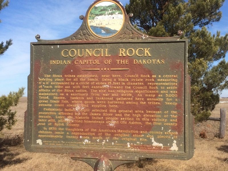
The Sioux tribes established, near here, Council Rock as a central meeting place for all the bands. Using a black oviate rock measuring 6” x 11” surrounded by a circle of stones 15 feet in diameter, representatives of each tribe sat with feet extended toward the Council Rock to settle affairs of the Sioux nation. The site had religious significance and was maintained as a sanctuary from war and strife. As many as 3,000 Teton, Santee, Yankton and Yanktonai gathered here annually for a great Trade Fair, where goods were bartered among the tribes. Needy persons could always find supplies here.
Prehistoric Indian people selected this general area because of the protection afforded by the James River and the high elevation of the terrain. Later the historic Indian people settled in this vicinity and later still, pioneers filed homesteads around Old Ashton, the first county seat of Spink county.
In 1939 the Daughters of the American Revolution and county school children made a reproduction of the original stone and placed it approximately twenty rods south of the original site.
Erected 1975 by 4-H Bicentennial Community
this page online
Topics and series. This historical marker is listed in these topic lists: Indigenous Peoples and Communities • Settlements & Settlers. In addition, it is included in the South Dakota State Historical Society Markers series list. A significant historical year for this entry is 1939.
Location. 44° 55.062′ N, 98° 30.737′ W. Marker is near Redfield, South Dakota, in Spink County. It is on U.S. 281 0.4 miles north of 171st St., on the right when traveling north. Touch for map. Marker is in this post office area: Redfield SD 57469, United States of America. Touch for directions.

Regionally, this marker is in East River and specifically in the James River Valley. It is also in the American Lewis & Clark Corridor, on the prairies, and on the Northern Plains. Globally, it is in North America, the Western Hemisphere, the Western World, and the Anglosphere. Historically, it finds itself in what was once Rupert’s Land and also the Louisiana
Photographed by Ruth VanSteenwyk, March 19, 2017
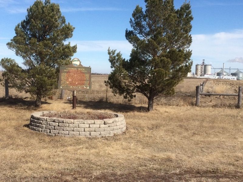
2. Council Rock Marker
Other nearby markers. At least 7 other markers are within 8 miles of this marker, measured as the crow flies: Abbie Gardner (a few steps from this marker); Pheasant History (within shouting distance of this marker); In Recognition of World War I Veterans (approx. 2.2 miles away); Redfield Carnegie Library (approx. 2.7 miles away); Peter Norbeck (approx. 2.9 miles away); Spink County Courthouse Veterans Memorial (approx. 2.9 miles away); Fisher Grove (approx. 8.1 miles away).
Photographed by Ruth VanSteenwyk, March 19, 2017
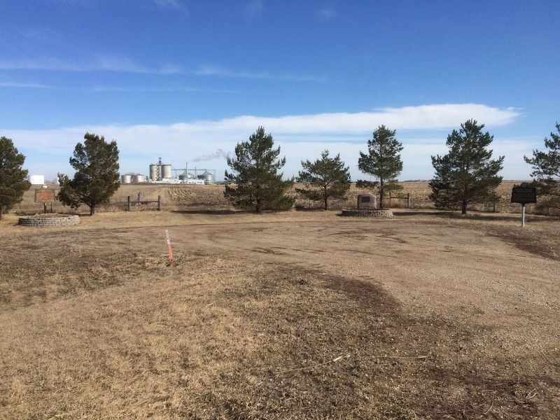
3. Three Markers
Credits. This page was last revised on December 27, 2024. It was originally submitted on March 19, 2017, by Ruth VanSteenwyk of Aberdeen, South Dakota. This page has been viewed 1,264 times since then and 75 times this year. Last updated on November 8, 2021. Photos: 1, 2, 3. submitted on March 19, 2017, by Ruth VanSteenwyk of Aberdeen, South Dakota. • J. Makali Bruton was the editor who published this page.
