Wickliffe in Ballard County, Kentucky — The American South (East South Central)
County Named, 1842
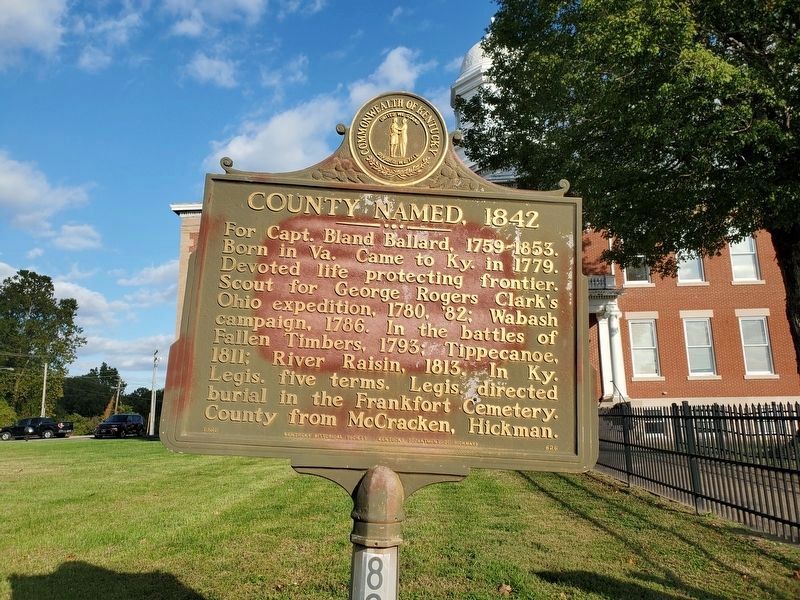
Photographed by Mark Parker, October 16, 2023
1. County Named, 1842 Marker
Erected 1965 by Kentucky Historical Society and Kentucky Department of Highways. (Marker Number 826.)
Topics and series. This historical marker is listed in these topic lists: Government & Politics • War, US Revolutionary • Wars, US Indian. In addition, it is included in the Kentucky Historical Society series list. A significant historical year for this entry is 1779.
Location. 36° 57.921′ N, 89° 5.336′ W. Marker is in Wickliffe, Kentucky, in Ballard County. It is on 4th Street (U.S. 51/62), on the right when traveling north. Located in front of the county court house. Touch for map. Marker is in this post office area: Wickliffe KY 42087, United States of America. Touch for directions.

Regionally, this marker is in the Jackson Purchase. It is
this page online
Other nearby markers. At least 8 other markers are within walking distance of this marker: Private First Class Robert Monroe Hammonds (a few steps from this marker); The Prince of the French Explorers / French Explorers at the Confluence of the Ohio and Mississippi (approx. 0.4 miles away); King Mounds (approx. 0.4 miles away); Welcome to Wickliffe Mounds (approx. 0.4 miles away); Ceremonial Mound (approx. 0.4 miles away); Burial Mound (approx. 0.4 miles away); Lewis & Clark at Old Fort Jefferson (approx. 0.6 miles away); Fort Jefferson Memorial Cross at the Confluence (approx. 0.6 miles away). Touch for a list and map of all markers in Wickliffe.
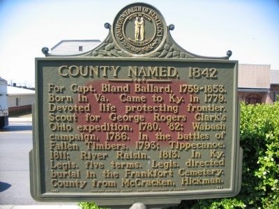
Photographed by Craig Swain, March 17, 2009
2. County Named, 1842 Marker
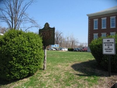
Photographed by Craig Swain, March 17, 2009
3. County Named, 1842 Marker
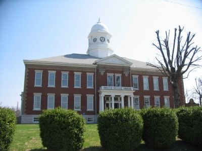
Photographed by Craig Swain, March 17, 2009
4. County Court House
Credits. This page was last revised on October 21, 2023. It was originally submitted on May 2, 2009, by Craig Swain of Leesburg, Virginia. This page has been viewed 1,454 times since then and 26 times this year. Photos: 1. submitted on October 20, 2023, by Mark Parker of Hickory, North Carolina. 2, 3, 4. submitted on May 2, 2009, by Craig Swain of Leesburg, Virginia.
