Near Isleton in Sacramento County, California — The American West (Pacific Coastal)
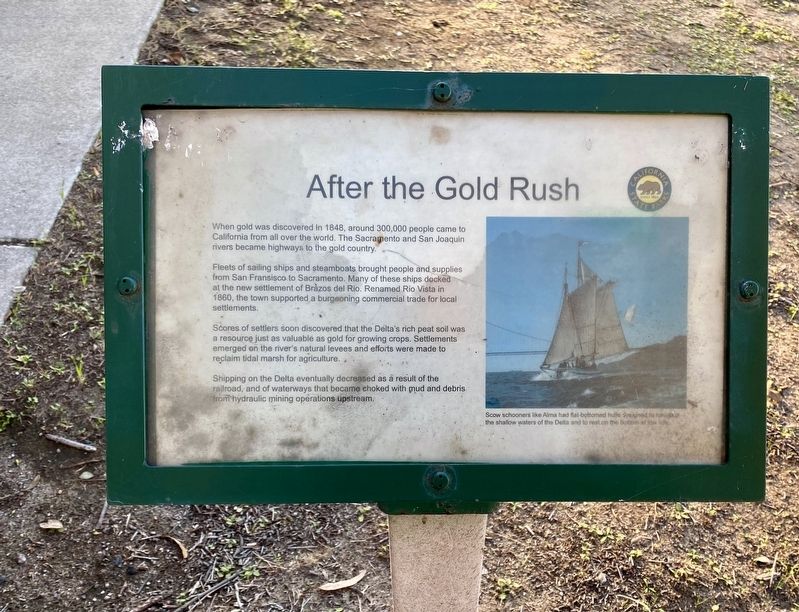
After the Gold Rush
Fleets of sailing ships and steamboats brought people and supplies from San Fransisco to Sacramento. Many of these ships docked at the new settlement of Brazos del Rio. Renamed Rio Vista in 1860, the town supported a burgeoning commercial trade for local settlements.
Scores of settlers soon discovered that the Delta's rich peat soil was a resource just as valuable as gold for growing crops. Settlements emerged on the river's natural levees and efforts were made to reclaim tidal marsh for agriculture.
Shipping on the Delta eventually decreased as a result of the railroad, and of waterways that became choked with mud and debris from hydraulic mining operations upstream.
(caption:) Scow schooners like Alma had flat-bottomed hulls designed to navigate the shallow waters of the Delta and to rest on the bottom at low tide.
Erected by California State Parks.
Topics. This historical marker is listed in these topic lists: Agriculture • Settlements & Settlers • Waterways & Vessels.
Location. 38° 6.599′ N, 121° 41.992′ W. Marker is near Isleton, California, in Sacramento County. Marker can be reached from State Highway 160. Touch for map. Marker is in this post office area: Isleton CA 95641, United States of America. Touch for directions.
Other nearby markers. At least 8 other markers are within 7 miles of this marker, measured as the crow flies. The Explosion of the Yosemite (within shouting distance of this marker); The Monitor (within shouting distance of this marker); Humphrey the Humpback Whale (approx. 3.2 miles away); Veterans of Foreign Wars (approx. 3.2 miles away); Pony Express River Steamer “New World” (approx. 3.2 miles away); Rio Vista Waterfront Warehouses (approx. 3˝ miles away); Isleton’s Historic Old Town (approx. 6.1 miles away); Bing Kong Tong Society Building (approx. 6.2 miles away). Touch for a list and map of all markers in Isleton.
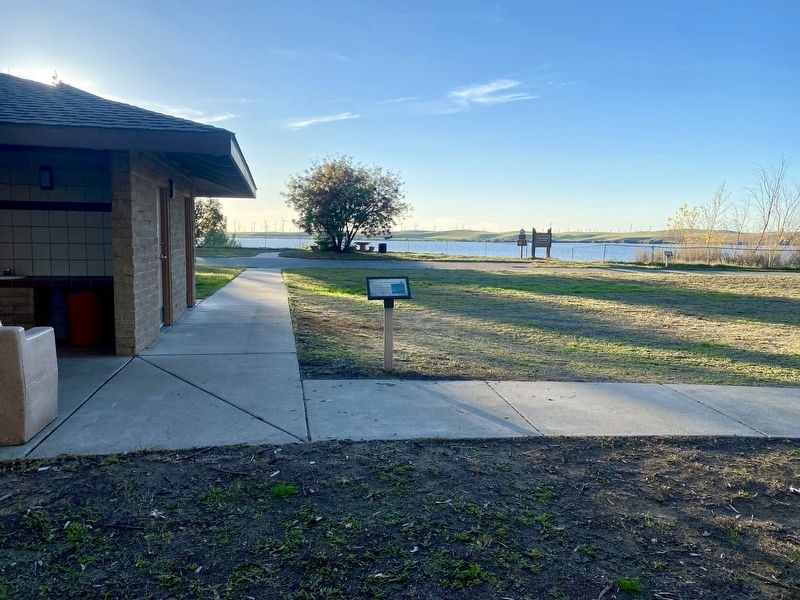
More about this marker. The marker is located in the Windy Cove section of Brannan Island State Recreation Area (on the west or river side of SR 160), just to the right of the restroom entrances. There is a day use fee. However, the fee may be waived (no guarantee) if you tell the campsite host that you are only there to take a quick look at the interpretive panels.
Credits. This page was last revised on November 10, 2021. It was originally submitted on November 10, 2021, by Andrew Ruppenstein of Lamorinda, California. This page has been viewed 170 times since then and 44 times this year. Photos: 1, 2. submitted on November 10, 2021, by Andrew Ruppenstein of Lamorinda, California.

