
Marker Logo
THE HISTORICAL
MARKER DATABASE
“Bite-Size Bits of Local, National, and Global History”
Sardis in Henderson County, Tennessee — The American South (East South Central)
 

History of Sardis Cemetery
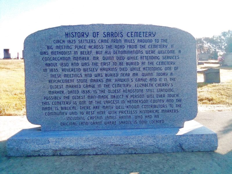
 
 
History of Sardis Cemetery Marker image. Click for full size.
Photographed by David Austin, November 10, 2021
1. History of Sardis Cemetery Marker
Inscription. Circa 1825 settlers came from miles around to the big meeting place across the road from the cemetery. It was Methodist in belief, but all denominations were welcome. A congregation member, Mr. Quinn died while attending services about 1830 and was the first to be buried at the cemetery in 1835. Reverend Wesley Hawkins died while attending one of these meetings and was buried near Mr. Quinn. Today a replacement stone marks Mr. Hawkin's grave and it is the oldest marked grave in the cemetery. Elizabeth Cherry's marker, dated 1838, is the oldest headstone still standing, possibly the oldest man-made object a person will ever touch. This cemetery is one of the largest in Henderson County and the name is Biblical. There are many well-known contributors to the community laid to rest here with priceless historical markers including Captain James Hanna who had an original land grant where Sardis is now located.
 
Topics. This historical marker is listed in this topic list: Cemeteries & Burial Sites. A significant historical year for this entry is 1825.
 
Location. 35° 26.179′ N, 88° 17.014′ W. Marker is in Sardis, Tennessee, in Henderson
Paid Advertisement
Click or scan to see
this page online
County. It is on Tennessee Route 104, on the right when traveling south. Located off TN-104 on a circle drive that goes around the cemetery. Touch for map. Marker is at or near this postal address: 35601 TN-104, Sardis TN 38371, United States of America. Touch for directions.

Regionally, this marker is in West Tennessee. It is also in the American South and specifically in the Upper South. Globally, it is in North America, the Western Hemisphere, the Western World, and the Anglosphere. Historically, it finds itself in what was once the territory of the Mississippian Culture, one of the Confederate States of America, and the Antebellum South.

Other nearby markers. At least 8 other markers are within 6 miles of this marker, measured as the crow flies: Doe Creek Church and School (approx. 3.1 miles away); Doe Creek Cemetery (approx. 3.1 miles away); Doe Creek School (approx. 3.1 miles away); Granny Austin Cemetery (approx. 4.1 miles away); Austin Chapel Church & The Austin Family Homeplace (approx. 4.8 miles away); Bethel Cemetery (approx. 5.1 miles away); Veterans Memorial (approx. 5.4 miles away); The Temple (approx. 5.6
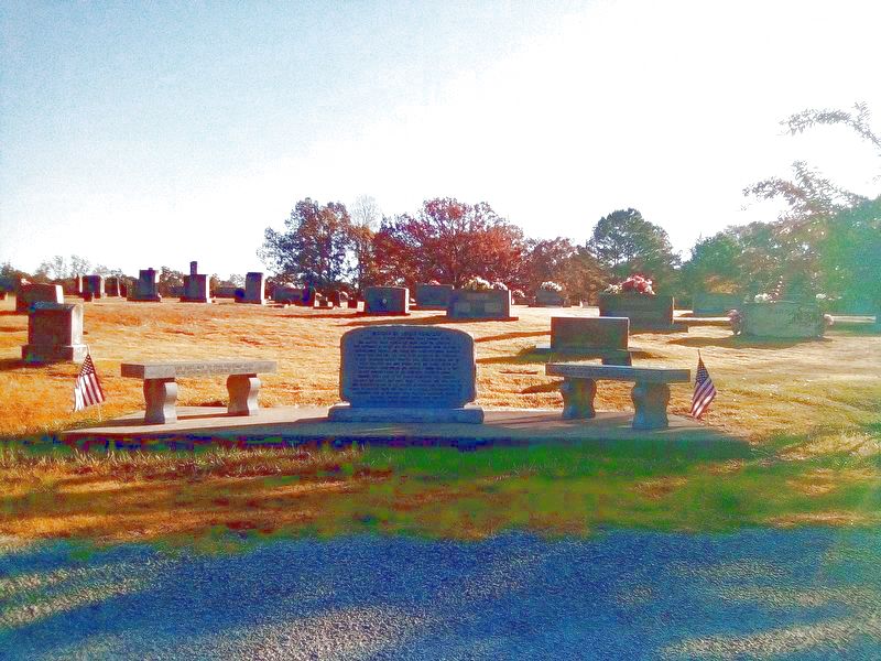
History of Sardis Cemetery Marker image. Click for full size.
Photographed by David Austin, November 10, 2021
2. History of Sardis Cemetery Marker
miles away). Touch for a list and map of all markers in Sardis.
 
 
Credits. This page was last revised on November 11, 2021. It was originally submitted on November 10, 2021, by David Austin of Scotts Hill, Tennessee. This page has been viewed 461 times since then and 19 times this year. Photos:   1, 2. submitted on November 10, 2021, by David Austin of Scotts Hill, Tennessee. • Mark Hilton was the editor who published this page.

m=185612

CeraNet Cloud Computing sponsors the Historical Marker Database.
This website earns income from purchases you make after using our links to Amazon.com. We appreciate your support.
Paid Advertisement
Jul. 17, 2026
