Chester in Chesterfield County, Virginia — The American South (Mid-Atlantic)
Battery Dantzler
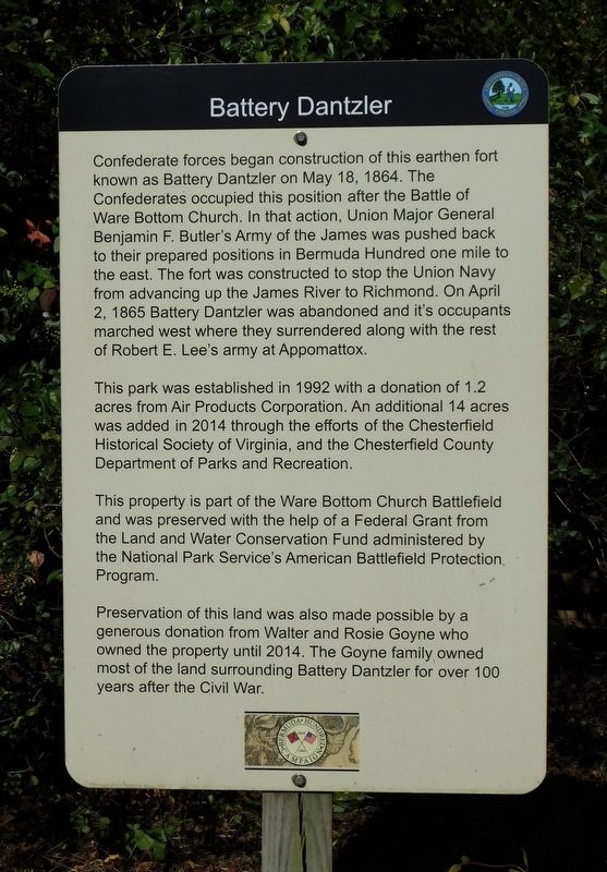
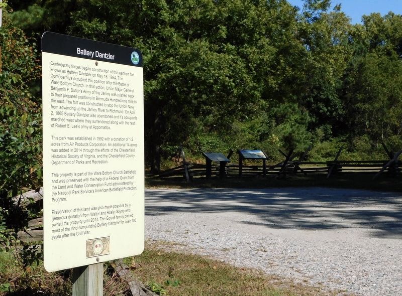
Confederate forces began construction of this earthen fort known as Battery Dantzler on May 18, 1864. The Confederates occupied this position after the Battle of Ware Bottom Church. In that action, Union Major General Benjamin F. Butler's Army of the James was pushed back to their prepared positions in Bermuda Hundred one mile to the east. The fort was constructed to stop the Union Navy from advancing up the James River to Richmond. On April 2, 1865 Battery Dantzler was abandoned and it's occupants marched west where they surrendered along with the rest of Robert E. Lee's army at Appomattox.
This park was established in 1992 with a donation of 1.2 acres from Air Products Corporation. An additional 14 acres was added in 2014 through the efforts of the Chesterfield Historical Society of Virginia, and the Chesterfield County Department of Parks and Recreation.
This property is part of the Ware Bottom Church Battlefield and was preserved with the help of a Federal Grant from the Land and Water Conservation Fund administered by the National Park Service's American Battlefield Protection Program.
Preservation of this land was also made possible by a generous donation from Walter and Rosie Goyne who owned the property until 2014. The Goyne family owned most of the land surrounding Battery Dantzler for over 100 years after the Civil War.
Topics. This historical marker is listed in these topic lists: Parks & Recreational Areas • War, US Civil. A significant historical date for this entry is April 2, 1865.
Location. 37° 21.478′ N, 77° 23.535′ W. Marker is in Chester, Virginia, in Chesterfield County. Marker is on Battery Dantzler Court, 0.3 miles east of Old Stage Road, on the left when traveling east. Touch for map. Marker is at or near this postal address: 1800-1820 Battery Dantzler Court, Chester VA 23836, United States of America. Touch for directions.
Other nearby markers. At least 8 other markers are within walking distance of this marker. Olin Miller Dantzler (a few steps from this marker); a different marker also named Battery Dantzler (within shouting distance of this marker); The Bermuda Hundred Campaign (about 400 feet away, measured in a direct line); a different marker also named Battery Dantzler (about 500 feet away); The Battle of Trent’s Reach (about 500 feet away); Dutch Gap Conservation Area (approx. 0.3 miles away); The Siege of Petersburg (approx. 0.3 miles away); a different marker also named Battery Dantzler (approx. 0.4 miles away). Touch for a list and map of all markers in Chester.
Credits. This page was last revised on November 10, 2021. It was originally submitted on November 10, 2021, by Bradley Owen of Morgantown, West Virginia. This page has been viewed 184 times since then and 29 times this year. Photos: 1, 2. submitted on November 10, 2021, by Bradley Owen of Morgantown, West Virginia. • Bernard Fisher was the editor who published this page.

