Montclair in Oakland in Alameda County, California — The American West (Pacific Coastal)
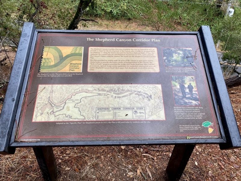
The Shepherd Canyon Corridor Plan
The Plan provided for setting aside 34 acres of the canyon as open space and included trails to provide alternative modes of transportation in the Canyon. The "Rails to Trails” program provided the bridge over Snake Road and other trail improvements. Special design review guidelines for residential construction were adopted. Shepherd Canyon Road (then upper Park Boulevard) received its current name.
Erected by Shepherd Canyon Homeowners Association.
Topics. This historical marker is listed in these topic lists: Environment • Parks & Recreational Areas. A significant historical year for this entry is 1975.
Location. 37° 49.76′ N, 122° 12.072′ W. Marker is in Oakland, California, in Alameda County. It is in Montclair. Marker can be reached from Montclair Railroad Trail south of Paso Robles Drive. Touch for map. Marker is in this post office area: Oakland CA 94611, United States of America. Touch for directions.
Other nearby markers. At least 8 other markers are within 2 miles of this marker, measured as the crow flies. Shepherd Canyon Highway That Almost Was (approx. 0.4 miles away); The Railroad History of Shepherd Canyon (approx. 0.4 miles away); The Funeral Pyre (approx. 1.2 miles away); Pyramid to Moses (approx. 1.3 miles away); Corpus Christi Church (approx. 1.4 miles away); Leimert Bridge (approx. 1.4 miles away); A Haven for Artists (approx. 1.4 miles away); a different marker also named Leimert Bridge (approx. 1.4 miles away). Touch for a list and map of all markers in Oakland.
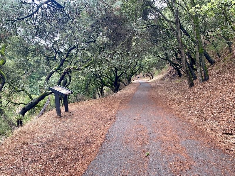
More about this marker. The marker is located on the Montclair Railroad Trail, approximately 0.9 miles from the main trailhead. The path is paved, with the first half traversing relatively level terrain, and with the second half climbing fairly gently uphill. There is a much closer trailhead (with very limited parking) at Paso Robles Drive, where one may instead walk a gentle 0.1 miles downhill to see the marker.
Credits. This page was last revised on February 7, 2023. It was originally submitted on November 10, 2021, by Andrew Ruppenstein of Lamorinda, California. This page has been viewed 175 times since then and 17 times this year. Photos: 1, 2, 3. submitted on November 10, 2021, by Andrew Ruppenstein of Lamorinda, California.


