Peapack in Somerset County, New Jersey — The American Northeast (Mid-Atlantic)
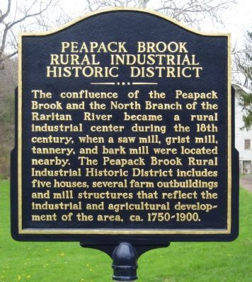
Peapack Brook Rural Industrial Historic District
Inscription.
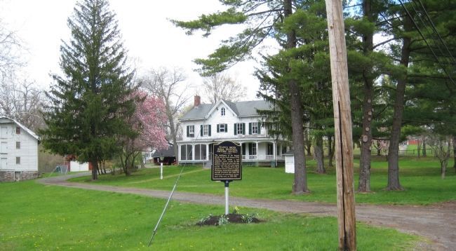
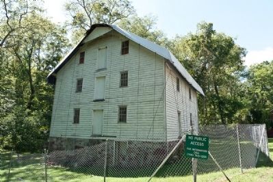
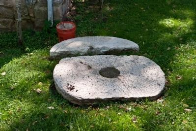
The confluence of Peapack Brook and the North Branch of the Raritan River became a rural industrial center during the 18th century when a saw mill, grist mill, tannery and bark mill were located nearby. The Peapack Brook Rural Industrial Historic District includes five houses, several outbuildings and mill structures that reflect the industrial and agricultural development of the area, ca. 1750 - 1900.
Topics. This historical marker is listed in these topic lists: Agriculture • Industry & Commerce • Settlements & Settlers. A significant historical year for this entry is 1750.
Location. 40° 41.551′ N, 74° 38.911′ W. Marker is in Peapack, New Jersey, in Somerset County. Marker is on Main Street north of Old Dutch Road, on the left when traveling north. Touch for map. Marker is in this post office area: Peapack NJ 07977, United States of America. Touch for directions.
Other nearby markers. At least 8 other markers are within 2 miles of this marker, measured as the crow flies. Melick Home (about 600 feet away, measured in a direct line); "Natirar" (approx. 0.6 miles away); African Burying Ground (approx. 0.6 miles away); Far Hills War Monument (approx. ¾ mile away); Bedminster War Memorials (approx. 0.8 miles away); Far Hills Station (approx. 0.9 miles away); Peapack-Gladstone Lime Kiln Park (approx. 1.4 miles away); Moses Craig Lime Kilns (approx. 1.4 miles away). Touch for a list and map of all markers in Peapack.
Also see . . . Peapack Grist Mill Photos by Jim Miller. Mill Pictures website entry (Submitted on May 4, 2009, by Bill Pfingsten of Bel Air, Maryland.)
Credits. This page was last revised on December 2, 2021. It was originally submitted on April 24, 2009, by Alan Edelson of Union Twsp., New Jersey. This page has been viewed 2,004 times since then and 41 times this year. Last updated on May 3, 2009, by Alan Edelson of Union Twsp., New Jersey. Photos: 1, 2. submitted on April 24, 2009, by Alan Edelson of Union Twsp., New Jersey. 3, 4. submitted on October 22, 2010, by Ronald Claiborne of College Station, Texas. • Bill Pfingsten was the editor who published this page.


