Near Kingfisher in Kingfisher County, Oklahoma — The American South (West South Central)
Run of '92
Photographed by Jason Armstrong, July 4, 2021
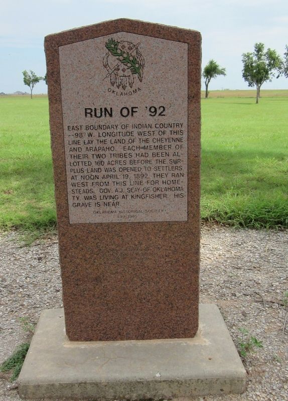
1. Run of '92 Marker
East boundary of Indian country -- 98° W. Longitude west of this line lay the land of the Cheyenne and Arapaho. Each member of their two tribes had been allotted 160 acres before the surplus land was opened to settlers. At noon April 19, 1892 they ran west from this line for homesteads. Gov. A.J. Seay of Oklahoma Ty. was living at Kingfisher. His grave is near.
Erected 1995 by Oklahoma Historical Society. (Marker Number 49.)
Topics. This historical marker is listed in these topic lists: Indigenous Peoples and Communities • Settlements & Settlers. A significant historical date for this entry is April 19, 1892.
Location. 35° 51.295′ N, 97° 57.49′ W. Marker is near Kingfisher, Oklahoma, in Kingfisher County. It is on State Highway 33 east of N 2830 Road, on the right when traveling east. Touch for map. Marker is in this post office area: Kingfisher OK 73750, United States of America. Touch for directions.

Regionally, this marker is in Northwest Oklahoma — Red Carpet Country and specifically in Central Oklahoma—Frontier Country. It is also in the American South, specifically on the prairies, and on the Southern Plains.
this page online
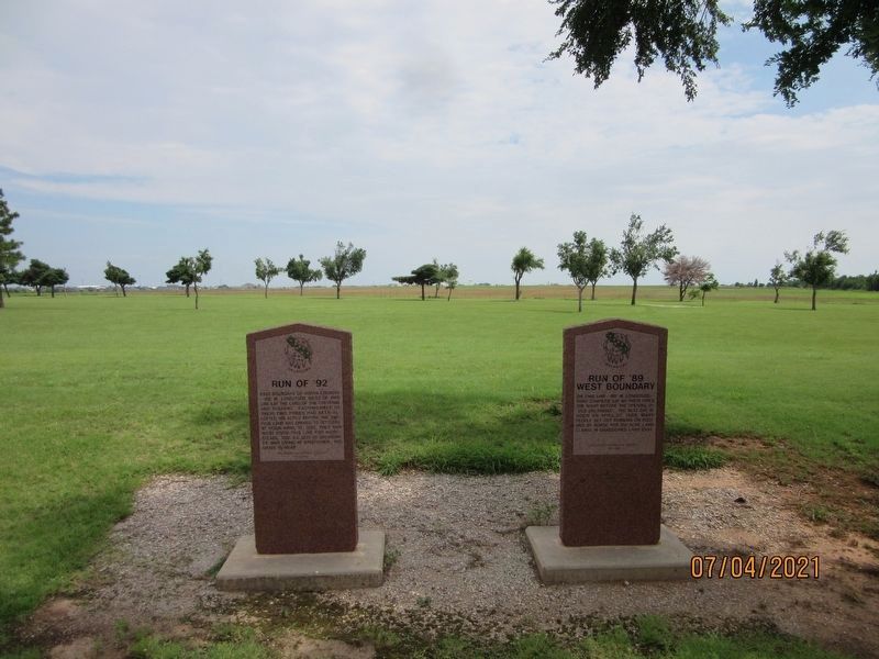
Other nearby markers. At least 8 other markers are within 2 miles of this marker, measured as the crow flies: Run of '89 West Boundary (here, next to this marker); 45th Infantry Division Memorial (approx. one mile away); Kingfisher Stage Station (approx. one mile away); The Dalton Cabin (approx. 1.1 miles away); Governor Seay (approx. 1.1 miles away); Restoration (approx. 1.1 miles away); Horizon Hill (approx. 1.1 miles away); Historical Society Birthplace (approx. 1½ miles away). Touch for a list and map of all markers in Kingfisher.
Photographed by Jason Armstrong, July 4, 2021
2. Run of '92 Marker
Credits. This page was last revised on November 15, 2021. It was originally submitted on November 14, 2021, by Jason Armstrong of Talihina, Oklahoma. This page has been viewed 214 times since then and 13 times this year. Photos: 1, 2. submitted on November 14, 2021, by Jason Armstrong of Talihina, Oklahoma. • J. Makali Bruton was the editor who published this page.
