St. Marys in Auglaize County, Ohio — The American Midwest (Great Lakes)
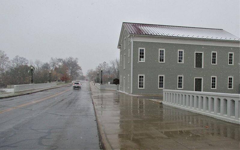
Reservoir Mill, St. Marys
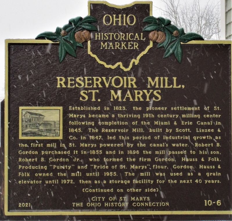
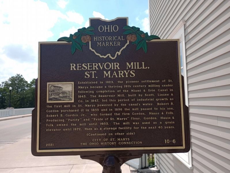
Established in 1823, the pioneer settlement of St. Marys became a thriving 19th century milling center following completion of the Miami & Erie Canal in 1845. The Reservoir Mill, built by Scott, Linzee & Co. in 1847, led this period of industrial growth as the first mill in St. Marys powered by the canal’s water. Robert B. Gordon purchased it in 1855 and in 1896 the mill passed to his son, Robert B. Gordon Jr., who formed the firm Gordon, Hauss & Folk. Producing “Purity” and “Pride of St. Marys” flour, Gordon, Hauss & Folk owned the mill until 1955. The mill was used as a grain elevator until 1972, then as a storage facility for the next 40 years.
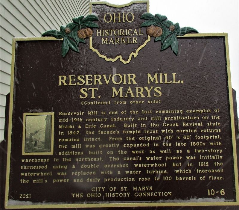
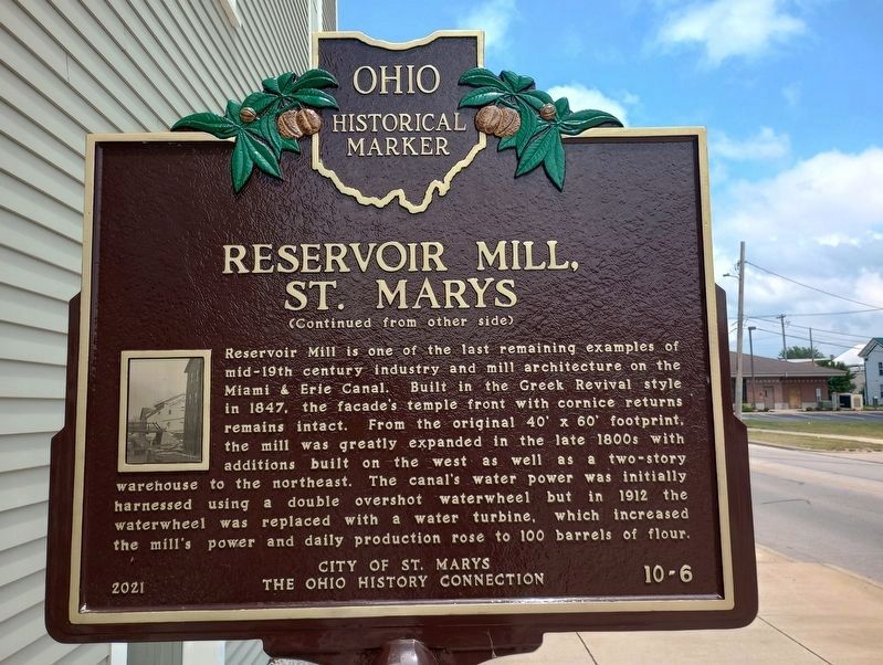
Reservoir Mill is one of the last remaining examples of mid-19th century industry and mill architecture on the Miami & Erie Canal. Built in the Greek Revival style in 1847, the facade’s temple front with cornice returns remains intact. From the original 40’ × 60’ footprint, the mill was greatly expanded in the late 1800s with additions built on the west as well as a two-story warehouse to the northeast. The canal’s water power was initially harnessed using a double overshot waterwheel but in 1912 the waterwheel was replaced with a water turbine, which increased the mill’s power and daily production rose to 100 barrels of flour.
Erected 2021 by City of St. Marys, Ohio History Connection. (Marker Number 10-6.)
Topics and series. This historical marker is listed in these topic lists: Architecture • Industry & Commerce • Waterways & Vessels. In addition, it is included in the Ohio Historical Society / The Ohio History Connection series list. A significant historical year for this entry is 1823.
Location. 40° 32.663′ N, 84° 23.284′ W. Marker is in St. Marys, Ohio, in Auglaize County. Marker is on East High Street west of North Chestnut Street, on the right when traveling west. Touch for map. Marker is at or near this postal address: 156 E High St, Saint Marys OH 45885, United States of America. Touch for directions.
Other nearby markers. At least 8 other markers are within walking distance of this marker. Lock 13 Rehabilitation Project (within shouting distance of this marker); St. Marys Reservoir Mill (within shouting distance of this marker); Transportation (within shouting distance of this marker); 136 East Spring Street (about 300 feet away, measured in a direct line); Memorial Park (about 400 feet away); The headwaters of the St. Marys River lie just southeast of the City of St. Marys. (about 400 feet away); Miami and Erie Canal (about 400 feet away); The "Short Level" of the Miami and Erie Canal (about 400 feet away). Touch for a list and map of all markers in St. Marys.
Credits. This page was last revised on July 10, 2023. It was originally submitted on November 14, 2021, by Rev. Ronald Irick of West Liberty, Ohio. This page has been viewed 209 times since then and 34 times this year. Photos: 1, 2. submitted on November 14, 2021, by Rev. Ronald Irick of West Liberty, Ohio. 3, 4. submitted on July 10, 2023, by Craig Doda of Napoleon, Ohio. 5. submitted on November 14, 2021, by Rev. Ronald Irick of West Liberty, Ohio. • Devry Becker Jones was the editor who published this page.
Editor’s want-list for this marker. Clearer photos of the marker in better weather. • Can you help?
