West Plains in Howell County, Missouri — The American Midwest (Upper Plains)
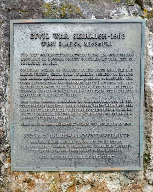
Civil War Skirmish - 1862
West Plains, Missouri
Photographed by Cosmos Mariner, August 18, 2021
1. Civil War Skirmish Marker
The only confrontation between Union and Confederate regulars in Howell County occurred at this site on February 19, 1862.
Combined forces of Colonel Wood’s Sixth Missouri and Major Drake’s Third Iowa cavalries, seeking to locate and engage Confederate Colonel Coleman, surrounded the town (population one hundred-fifty) at 3:00 P.M. and opened fire with small arms and a mountain howitzer. Coleman and his cavalry were absent, and Confederate resistance was only brief.
The Union forces suffered no casualties, six of the Confederate infantry were killed, eight were wounded, and forty were taken prisoner; sixty stands of arms, forty horses, and several wagons were captured as a result of this skirmish.
West Plains was completely burned by guerillas in 1863.
The Honorable Buford Skaggs, Presiding Judge
The Honorable Sidney Williamson, Northern District
The Honorable Joe Powell, Southern District
Dale Mitchell, Clerk of the Court
Topics. This historical marker is listed in this topic list: War, US Civil. A significant historical date for this entry is February 19, 1862.
Location. 36° 43.689′ N, 91° 51.167′ W.
this page online

Regionally, this marker is in Southeast Missouri. It is also in the American Ozarks, in the Lewis & Clark Corridor, and in the Corn Belt. Globally, it is in North America, the Western Hemisphere, the Western World, and the Anglosphere. Historically, it finds itself in what was once the territory of the Mississippian Culture, the Louisiana Purchase, and the Antebellum South.
Other nearby markers. At least 8 other markers are within walking distance of this marker: Time Capsule (here, next to this marker); In Memory of Six Confederate Soldiers (a few steps from this marker); Famous Grocery, Elledge Arcade (within shouting distance of this marker); The Original West Plains Bank (about
Photographed by Cosmos Mariner, August 18, 2021
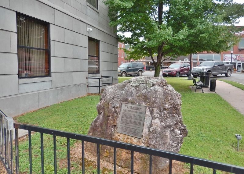
2. Civil War Skirmish Marker
Related markers. Click here for a list of markers that are related to this marker.
Also see . . . The Battle of West Plains, February 19th, 1862.
On the morning of February 19th, 1862, 262 mounted U.S. cavalrymen from the 3rd Iowa Cavalry and the 6th Missouri Cavalry commanded by Colonel Woods and Major Drake slipped into the north side of West Plains and took position at the top of the hill at current day Olden Street looking toward the wooden structure courthouse where the current Howell County Courthouse now stands...(Submitted on November 17, 2021, by Cosmos Mariner of Cape Canaveral, Florida.)
Photographed by Cosmos Mariner, August 18, 2021
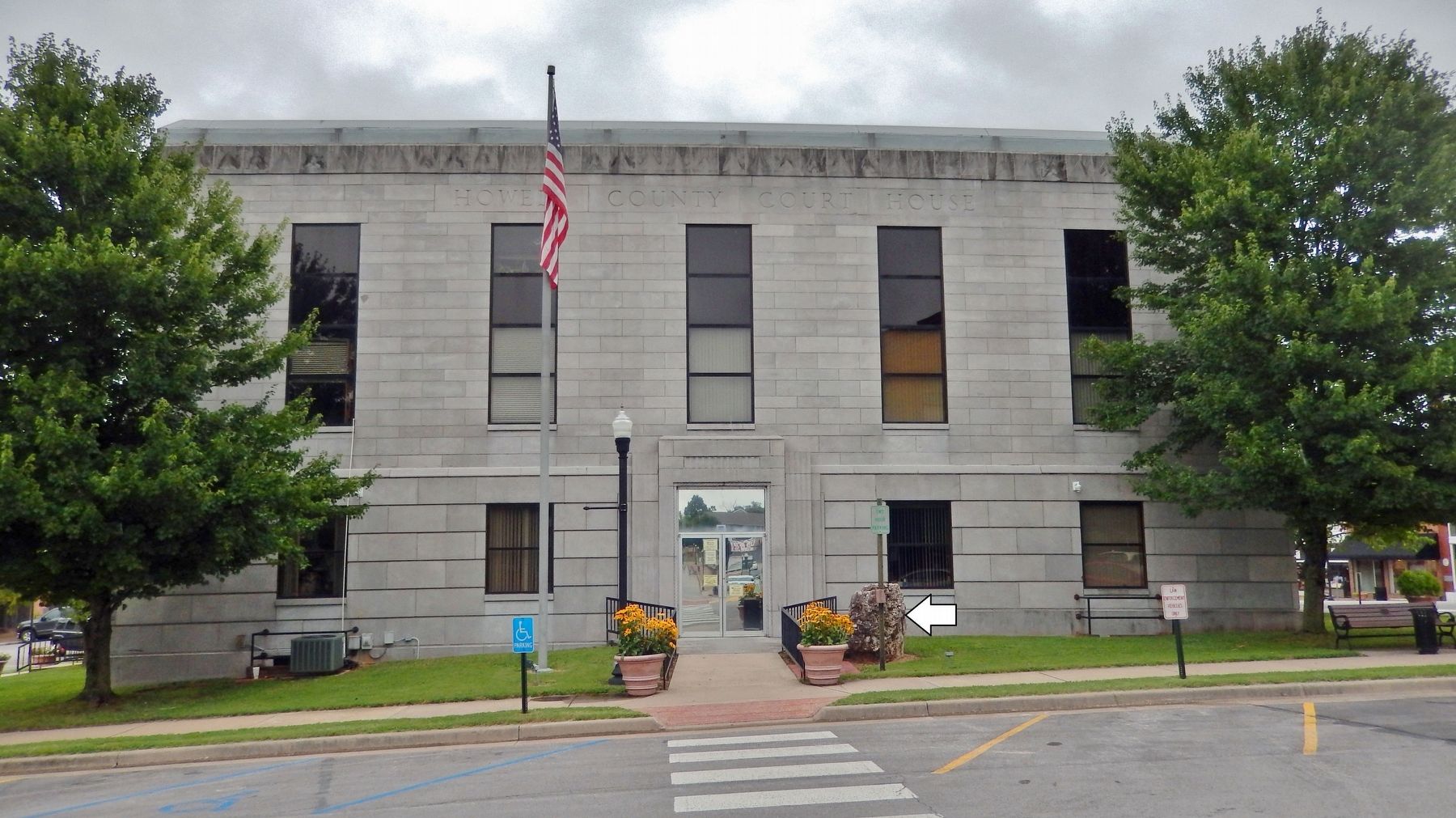
3. Howell County Courthouse (west elevation)
Credits. This page was last revised on November 18, 2021. It was originally submitted on November 16, 2021, by Cosmos Mariner of Cape Canaveral, Florida. This page has been viewed 1,231 times since then and 166 times this year. Photos: 1, 2, 3. submitted on November 17, 2021, by Cosmos Mariner of Cape Canaveral, Florida.
