Stroudwater in Portland in Cumberland County, Maine — The American Northeast (New England)
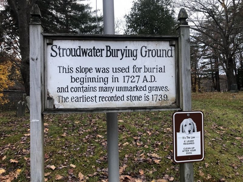
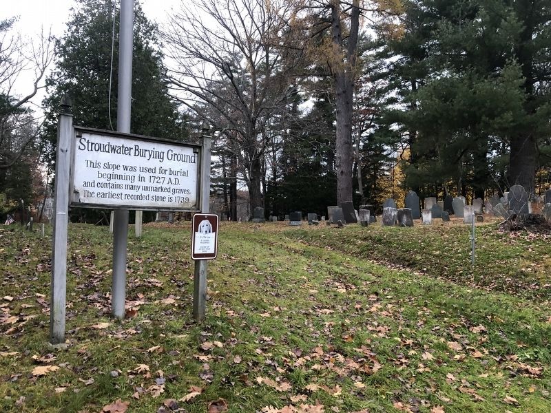
Stroudwater Burying Ground
Topics. This historical marker is listed in these topic lists: Cemeteries & Burial Sites • Colonial Era. A significant historical year for this entry is 1727.
Location. 43° 39.481′ N, 70° 18.869′ W. Marker is in Portland, Maine, in Cumberland County. It is in Stroudwater. Marker is on Westbrook Street, 0.1 miles west of Congress Street (Maine Route 22), on the left when traveling west. Touch for map. Marker is at or near this postal address: 1314 Westbrook St, Portland ME 04102, United States of America. Touch for directions.
Other nearby markers. At least 8 other markers are within 3 miles of this marker, measured as the crow flies. Rev. John O'Dowd (approx. 1.9 miles away); Veterans Memorial Bridge (approx. 1.9 miles away); Civil War Memorial (approx. 2.3 miles away); Welcome to Back Cove Trail: An urban ecosystem / Explore: Portland's Magic Spaces (approx. 2.3 miles away); Spanish-American War Memorial (approx. 2.3 miles away); Baxter Trail: Discover the Baxters' legacy in Portland (approx. 2.3 miles away); Back Cove Trail (approx. 2.4 miles away); Wadsworth-Longfellow House (approx. 2.7 miles away). Touch for a list and map of all markers in Portland.
Credits. This page was last revised on February 13, 2023. It was originally submitted on November 21, 2021, by Devry Becker Jones of Washington, District of Columbia. This page has been viewed 260 times since then and 13 times this year. Photos: 1, 2. submitted on November 21, 2021, by Devry Becker Jones of Washington, District of Columbia.

