Fort Pierce in St. Lucie County, Florida — The American South (South Atlantic)
Beach Obstacles
From the Past
| — | National Navy UDT-Seal Museum | — |
Photographed by Brandon D Cross, November 13, 2021
1. Beach Obstacles Marker
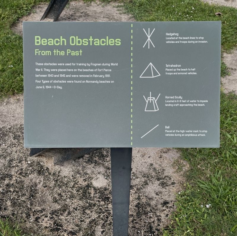
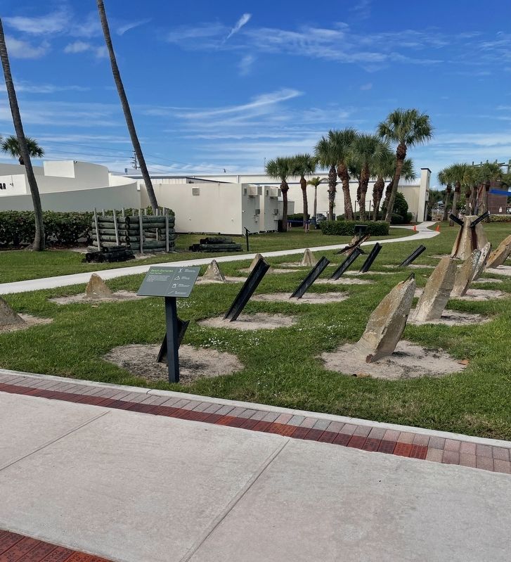
These obstacles were used for training by Frogmen during World War II. They were placed here on the beaches of Fort Pierce between 1943 and 1945 and were removed in February 1991. Four types of obstacles were found on Normandy beaches on June 6, 1944- D-Day.
[Captions:]
Hedgehog
Located at the beach lines to stop vehicles and troops during an invasion.
Tetrahedron
Placed up the beach to halt troops and armored vehicles.
Horned Scully
Located in 6-8 feet of water to impede landing craft approaching the beach.
Ball
Placed at the high-water mark to stop vehicles during an amphibious attack.
Erected by National Navy UDT-Seal Museum.
Topics. This historical marker is listed in these topic lists: War, World II • Waterways & Vessels. A significant historical year for this entry is 1943.
Location. 27° 29.7′ N, 80° 18.003′ W. Marker is in Fort Pierce, Florida, in St. Lucie County. It can be reached from Florida Route A1A 0.3 miles south of Jackson Way, on the right when traveling north. Located on the grounds of the National Navy UDT-Seal Museum at the south entrance. Touch for map. Marker is
this page online

Regionally, this marker is on the Treasure Coast. It is also in the American South and on the Eastern Seaboard. Globally, it is in the North Atlantic Region, North America, a Gulf of Mexico state, the Western Hemisphere, the Western World, and the Anglosphere. Historically, it finds itself in what was once New Spain, the territory of the Mississippian Culture, one of the Confederate States of America, and the Antebellum South.
Other nearby markers. At least 8 other markers are within walking distance of this marker: Memorial Garden / Memorial Living Beach (here, next to this marker); Memorial Wall (here, next to this marker); Mark IX (here, next to this marker); Navy Seal Ty Woods (a few steps from this marker); U.S. Navy Combat Assault Dog (a few steps from this marker); Mark 8 Mod 0 SEAL Delivery Vehicle [SDV] (a few steps from this marker); LCP[R] Landing Craft, Personnel [Ramped] (a few steps from this marker); WWII Beach Defense (a few steps from this marker). Touch for a list and map of all markers
Photographed by Brandon D Cross, November 13, 2021
2. Beach Obstacles Marker
Also see . . . WorldWar II Era Beach Obstacles. (Submitted on November 23, 2021, by Brandon D Cross of Flagler Beach, Florida.)
Credits. This page was last revised on November 29, 2021. It was originally submitted on November 23, 2021, by Brandon D Cross of Flagler Beach, Florida. This page has been viewed 653 times since then and 58 times this year. Photos: 1, 2. submitted on November 23, 2021, by Brandon D Cross of Flagler Beach, Florida. • Devry Becker Jones was the editor who published this page.
