McDonough in Henry County, Georgia — The American South (South Atlantic)
McDonough Square
A Promise Broken
| — | March to the Sea Heritage Trail | — |
Photographed by Duane and Tracy Marsteller, November 20, 2021
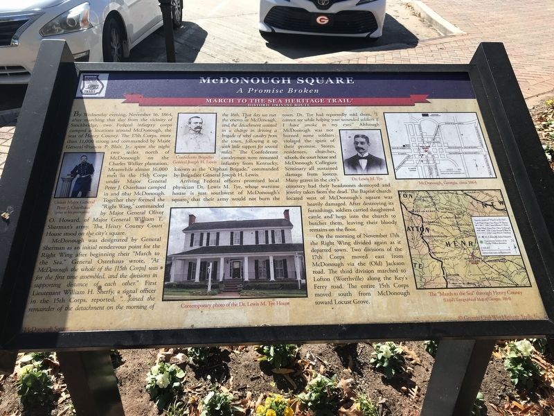
1. McDonough Square Marker
McDonough was designated by General Sherman as an initial rendezvous point for the Right Wing after beginning their “March to the Sea.” Osterhaus wrote, “At McDonough the whole of the [15th Corps] was for the first time assembled, and the divisions in supporting distance of each other.” First Lieutenant William H. Sherfy, a signal officer in the 15th Corps, reported, “… joined the remainder of the detachment on the morning of the 16th. That day we met the enemy at McDonough, and the detachment assisted in a charge in driving a brigade of rebel cavalry from the town, following it up with little support for several miles.”
this page online
Arriving Federal officers promised local physician Dr. Lewis M. Tye, whose wartime house is just southwest of McDonough's square, that their army would not burn the town. Dr. Tye had reportedly told them, “I cannot see while helping your wounded soldiers if I have smoke in my eyes.” Although McDonough was not burned some soldiers violated the spirit of their promise. Stores, residences, churches, schools, the courthouse and McDonough Collegiate Seminary all sustained damage from looters. Many graves in the city's cemetery had their headstones destroyed and jewelry taken from the dead. The Baptist church located west of McDonough's square was heavily damaged. After destroying its furnishings, soldiers carried slaughtered cattle and hogs into the church to butcher them, leaving their bloody remains on the floor.
On the morning of November 17th the Right Wing divided again as it departed town. Two divisions of the 17th Corps moved east from McDonough via the (Old) Jackson road. The third division
via Civil war photographs, 1861-1865, Library of Congress, Prints and Photographs Division, circa 1865
2. McDonough Square Marker detail
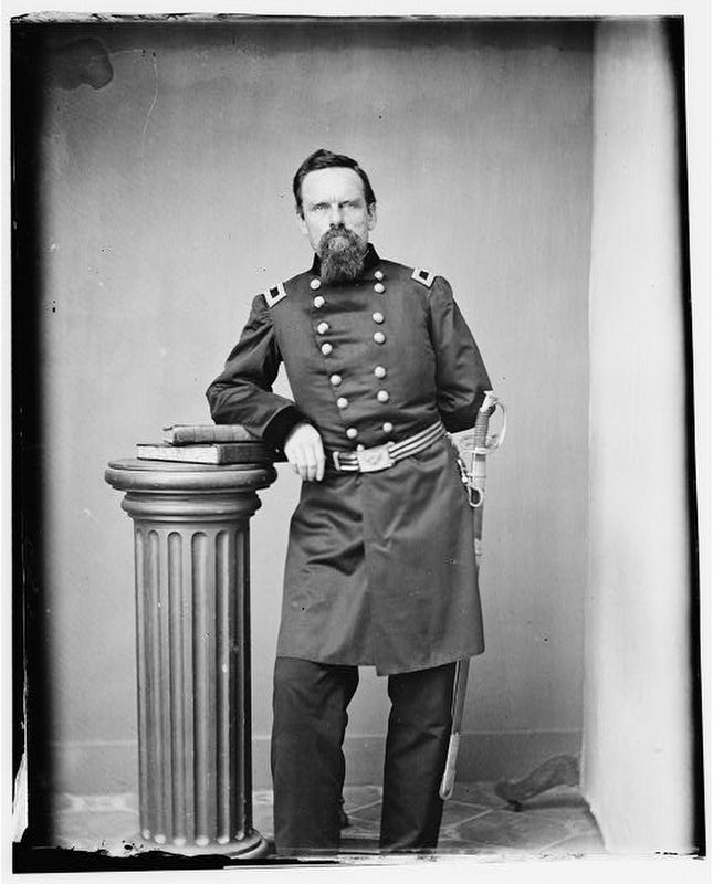
Union Gen. Peter J. Osterhaus (before promotion).
Captions (clockwise from left)
• Union Major General Peter J. Osterhaus (prior to his promotion).
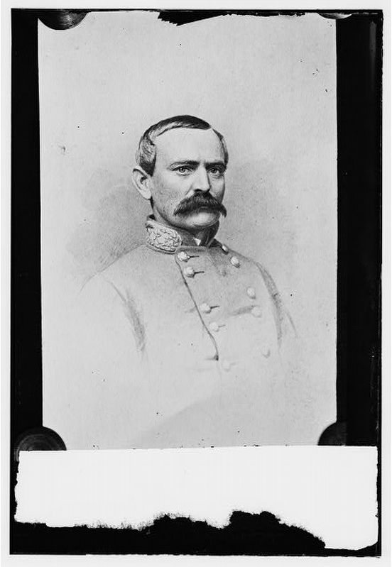
• Confederate Brigadier General Joseph H. Lewis.
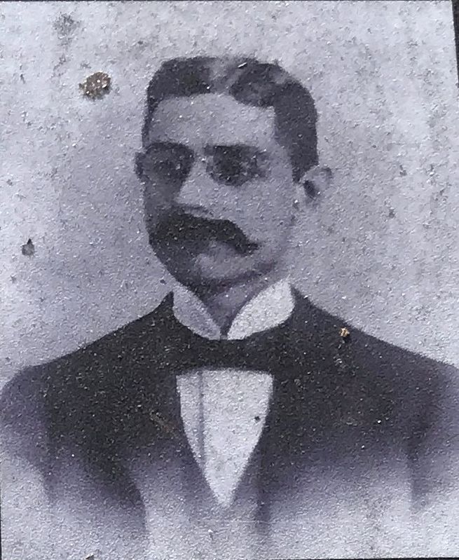
• Dr. Lewis M. Tye.
• McDonough, Georgia, circa 1864.
• The “March to the Sea” through Henry County (Lloyd's Topographical Map of Georgia, 1864).
• Contemporary photo of the Dr. Lewis M. Tye House.
Erected by Georgia Civil War Heritage Trails, Inc. (Marker Number R2.)
Topics and series. This historical marker is listed in this topic list: War, US Civil. In addition, it is included in the Georgia Civil War Trails series list. A significant historical date for this entry is November 16, 1864.
Location. 33° 26.829′ N, 84° 8.819′ W. Marker is in McDonough, Georgia, in Henry County. It is at the intersection of Georgia Route 81 and Griffin Street (U.S. 23), on the left when traveling east on Georgia Route 81. Touch for map. Marker is in this post office area: McDonough GA 30253, United States of America. Touch for directions.

Regionally, this marker is in Georgia’s
via Civil war photographs, 1861-1865, Library of Congress, Prints and Photographs Division
3. McDonough Square Marker detail
Confederate Brigadier General Joseph H. Lewis.
Other nearby markers. At least 8 other markers are within 2 miles of this marker, measured as the crow flies: "Flame of Freedom" (a few steps from this marker); Henry County Sons Lost in Vietnam (a few steps from this marker); Henry County (within shouting distance of this marker); Henry County Courthouse (within shouting distance of this marker); The Brown House (about 500 feet away, measured in a direct line); The Right Wing at McDonough (approx. 0.7 miles away); Camp Creek Train Wreck (approx. 1.3 miles away); Ola Schoolhouse (approx. 1½ miles away). Touch for a list and map of all markers in McDonough.
Photographed by Duane and Tracy Marsteller, November 20, 2021
4. McDonough Square Marker detail
Dr. Lewis M. Tye.
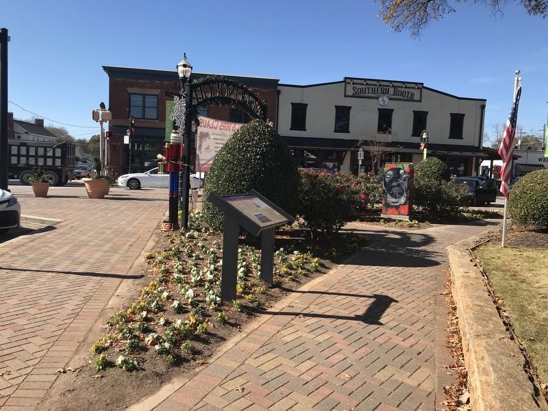
Photographed by Duane and Tracy Marsteller, November 20, 2021
5. McDonough Square Marker
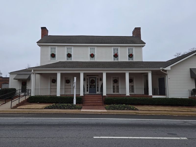
Photographed by Mark Parker, December 27, 2024
6. Dr Tye House, referenced in McDonough Square Marker
Credits. This page was last revised on January 24, 2025. It was originally submitted on November 23, 2021, by Duane and Tracy Marsteller of Murfreesboro, Tennessee. This page has been viewed 1,833 times since then and 116 times this year. Photos: 1, 2, 3, 4, 5. submitted on November 23, 2021, by Duane and Tracy Marsteller of Murfreesboro, Tennessee. 6. submitted on January 13, 2025, by Mark Parker of Hickory, North Carolina.
