Near Sparta in Hancock County, Georgia — The American South (South Atlantic)
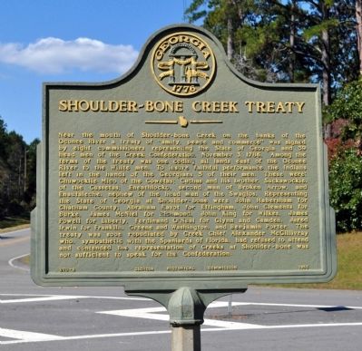
Shoulder-bone Creek Treaty
Photographed by David Seibert, October 26, 2011
1. Shoulder-bone Creek Treaty Marker
this page online
Erected 1955 by Georgia Historical Commission. (Marker Number 070-6.)
Topics and series. This historical marker is listed in these topic lists: Indigenous Peoples and Communities • Industry & Commerce • Peace • Settlements & Settlers. In addition, it is included in the Georgia Historical Society series list. A significant historical date for this entry is November 3, 1786.
Location. 33° 20.349′ N, 83° 4.804′ W. Marker is near Sparta, Georgia, in Hancock County. It is at the intersection of Georgia Route 16 and Route 77, on the right when traveling west on Georgia Route 16. Touch for map. Marker is in this post office area: Sparta GA 31087, United States of America. Touch for directions.

Regionally, this marker is in Georgia’s Piedmont. It is also in the American South and specifically in the Deep South. Globally, it is in North America, the Western Hemisphere, the Western World, and the Anglosphere. Historically, it finds itself in what was once the territory of the Mississippian Culture, one of the original Thirteen Colonies, one of the Confederate
Photographed by David Seibert, October 26, 2011
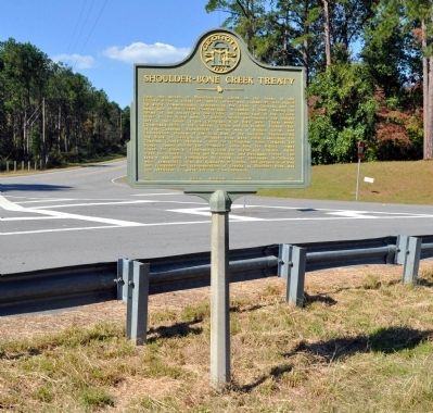
2. Shoulder-bone Creek Treaty Marker
Other nearby markers. At least 8 other markers are within 8 miles of this marker, measured as the crow flies: “July” 1858 (approx. 0.9 miles away); Famous Indian Trail (approx. 1.2 miles away); Gov. William Jonathan Northen (approx. 4.4 miles away); Mt. Zion Church (approx. 4.6 miles away); Nathan S.S. Beman at Mt. Zion (approx. 4.7 miles away); "Old Dominion" (approx. 7.2 miles away); Hancock County (approx. 7½ miles away); Old Eagle Tavern (approx. 7½ miles away). Touch for a list and map of all markers in Sparta.
Photographed by David Seibert, October 26, 2011
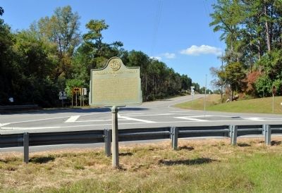
3. Shoulder-bone Creek Treaty Marker
Looking west on Georgia Highway 16 at the intersection with Georgia Highway 77, foreground and to the right.
Photographed by David Seibert, October 26, 2011
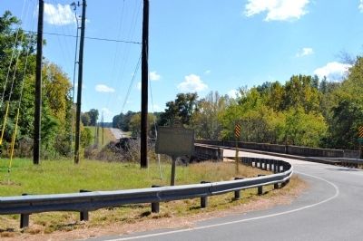
4. Shoulder-bone Creek Treaty Marker
Looking east on Georgia Highway 16, across the bridge over Shoulderbone Creek toward Sparta. Georgia Highway 77 is in the foreground.
Credits. This page was last revised on November 25, 2021. It was originally submitted on October 30, 2011, by David Seibert of Sandy Springs, Georgia. This page has been viewed 3,101 times since then and 79 times this year. Last updated on November 25, 2021, by Bill Witherspoon of Decatur, Georgia. Photos: 1, 2, 3, 4. submitted on October 30, 2011, by David Seibert of Sandy Springs, Georgia. • J. Makali Bruton was the editor who published this page.
