Near Port Royal in Caroline County, Virginia — The American South (Mid-Atlantic)
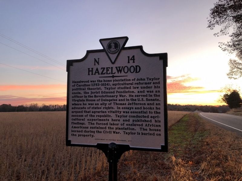
Hazelwood
Erected 2017 by Department of Historic Resources. (Marker Number N-14.)
Topics and series. This historical marker is listed in these topic lists: African Americans • Agriculture • Government & Politics • War, US Revolutionary. In addition, it is included in the Former U.S. Presidents: #03 Thomas Jefferson, and the Virginia Department of Historic Resources (DHR) series lists.
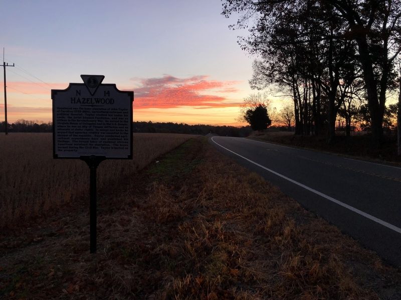
Location. 38° 10.659′ N, 77° 13.604′ W. Marker is near Port Royal, Virginia, in Caroline County. Marker is on Tidewater Trail (U.S. 17) 0.1 miles north of Hazelwood Lane (Virginia Route 675), on the right when traveling north. Touch for map. Marker is at or near this postal address: 24164 Tidewater Trail, Port Royal VA 22535, United States of America. Touch for directions.
Other nearby markers. At least 8 other markers are within 2 miles of this marker, measured as the crow flies. Where Booth Died (approx. 1.8 miles away); The Sacred Lot (approx. 1.9 miles away); Old Port Royal (approx. 2 miles away); Dorothy Roy (approx. 2 miles away); Port Royal (approx. 2 miles away); The Fox Tavern: A Colonial Landmark (approx. 2 miles away); a different marker also named Port Royal (approx. 2.1 miles away); a different marker also named Port Royal (approx. 2.1 miles away). Touch for a list and map of all markers in Port Royal.
Related marker. Click here for another marker that is related to this marker. This marker has replaced the linked marker.
Credits. This page was last revised on November 25, 2021. It was originally submitted on November 25, 2021, by Devry Becker Jones of Washington, District of Columbia. This page has been viewed 644 times since then and 123 times this year. Photos: 1, 2. submitted on November 25, 2021, by Devry Becker Jones of Washington, District of Columbia.
Editor’s want-list for this marker. Clear photos of marker • Can you help?

