Bel Alton in Charles County, Maryland — The American Northeast (Mid-Atlantic)
Rich Hill Farm in the 20th Century
The Garners, Tenant Farmers of Rich Hill
(1916 - 1920 and 1945 - 1954)

Photographed By Devry Becker Jones (CC0), November 25, 2021
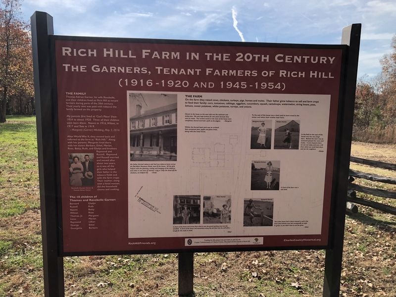
1. Rich Hill Farm in the 20th Century Marker
The Family
Thomas Adrian Garner, his wife Rosebelle, and their children lived on Rich Hill as tenant farmers during parts of the 20th century. Their yearly rent was paid with tobacco the family farmed on the property.
My parents first lived at 'Cox's Place' from 1916 to about 1920. Thee of their children were born there: Naomi in 1916, Wilson, in 1917 and Tom in 1919.
Margaret (Garner) Wedding, May 3, 2016
After World War II, they moved back and referred to the farm as "Rich Hill." Along with her parents, Margaret lived there with her sisters Barbara, Ethel, Marian, Rose, Betty, Ruth, and Gladys and brothers Raymond and Russell. Raymond and Russell married and moved after about two years, so it was all the girls who helped their father in the tobacco fields and with the farm crops. Their mother, along with a hired woman, did the household chores and cooking.
The 18 children of Thomas and Rosebelle Garner:
Bernard Russell Naomi Wilson Thomas, Jr. Irene Raymond George Georgetta Gladys Ruth Betty Rose Margaret Marian Lillian Ethel Barbara
The Farm
On the farm they raised cows, chickens, turkeys, pigs, horses and mules. Their father grew tobacco to sell and farm crops to feed their family: corn, tomatoes, cabbage, eggplant, cucumbers, squash, cantaloupe, watermelon, string beans, peas, lettuce, sweet potatoes, white potatoes, turnips, and onion.
Closest to the house on the west side was the outhouse and turkey pen. We only kept turkeys for two years because they were so mean. The Current woods to the west of the house were completely cleared and had a path to the pigpen. Margaret
Within the fenced back yard was an orchard that contained pear, apple and plum trees, along with the meat house.
To the east of the house was a shed used to store wood in the winter and where their mother kept hams.
In the field to the east of the house ws the very large barn. Behind the barn was enclosed pasture for cows and mules. It went beyond where we can see today and over a hill from which you could look down and see the neighbors. Gladys
My father formed tobacco and had two tobacco barns across the Bel-Alton Newtown Road, east of the house. All the girls helped with the planting, cutting and hanging of the tobacco; and when it was time to butcher a pig or chop the head off the chickens, we helped too. Gladys
In front of the barn was a tool shed.
In front of the house and across from what is now the gravel parking area was the cornfield. In front of the house and somewhere along the old road was the wll with a trough for the mules to drink. Ethel
The entire house had a fence around it, and in the front yard animals were put occasionally at night to graze, so you didn't have to cut the grass. Ethel
Erected by the County Commissioners of Charles County, Maryland and the Friends of Rich Hill.
Topics. This historical marker is listed in these topic lists: Agriculture • Animals • Women. A significant historical date for this entry is May 3, 2016.
Location. 38° 28.29′ N, 76° 57.939′ W. Marker is in Bel Alton, Maryland, in Charles County. Marker can be reached from Bel Alton Newtown Road east of Rich Hill Farm Road, on the left when traveling east. Touch for map. Marker is at or near this postal address: 9135 Bel Alton Newtown Rd, Bel Alton MD 20611, United States of America. Touch for directions.
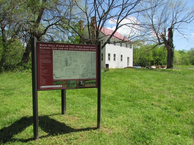
Other nearby markers. At least 8 other markers are within 2 miles of this marker, measured as the crow flies. Archaeology Provides a Key to the History of Rich Hill (here, next to this marker); Rich Hill Farm in the 19th Century: Samuel Cox and his Award-Winning Farm (here, next to this marker); Rich Hill (within shouting distance of this marker); Rich Hill Through the Years (within shouting distance of this marker); a different marker also named Rich Hill (about 400 feet away, measured in a direct line); John Wilkes Booth and David Herold (approx. 1.2 miles away); Pine Thicket (approx. 1.2 miles away); John Wilkes Booth (approx. 1.3 miles away). Touch for a list and map of all markers in Bel Alton.
Credits. This page was last revised on April 28, 2023. It was originally submitted on November 25, 2021, by Devry Becker Jones of Washington, District of Columbia. This page has been viewed 349 times since then and 230 times this year. Photos: 1. submitted on November 25, 2021, by Devry Becker Jones of Washington, District of Columbia. 2. submitted on April 27, 2023, by Bill Coughlin of Woodland Park, New Jersey.
