Herndon in Fairfax County, Virginia — The American South (Mid-Atlantic)
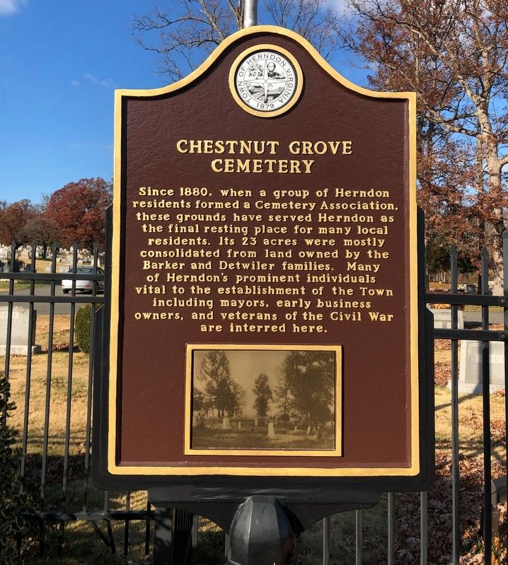
Chestnut Grove Cemetery
Erected by Town of Herndon, Virginia.
Topics and series. This historical marker is listed in these topic lists: Cemeteries & Burial Sites • Government & Politics • Industry & Commerce • War, US Civil. In addition, it is included in the Virginia, Town of Herndon series list. A significant historical year for this entry is 1880.
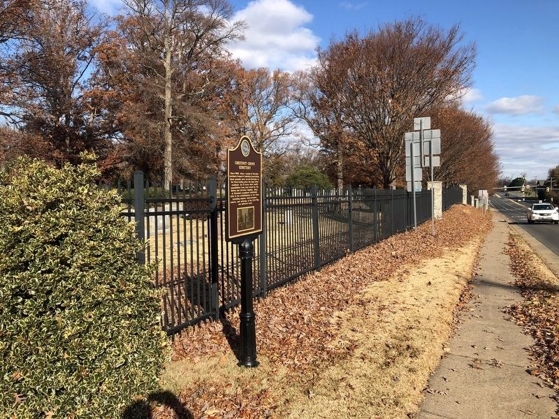
Location. 38° 59.08′ N, 77° 22.677′ W. Marker is in Herndon, Virginia, in Fairfax County. Marker is on Dranesville Road (Virginia Route 228) 0.1 miles south of Bennett Street, on the right when traveling south. Touch for map. Marker is at or near this postal address: 831 Dranesville Rd, Herndon VA 20170, United States of America. Touch for directions.
Other nearby markers. At least 8 other markers are within one mile of this marker, measured as the crow flies. Chestnut Grove Cemetery Association (within shouting distance of this marker); Payne House (approx. 0.3 miles away); Hawkins-Martz-Carroll House (approx. 0.8 miles away); Herndon's Pine Street (approx. one mile away); Washington & Old Dominion Railroad Regional Park (approx. one mile away); The Big Fire (approx. one mile away); 100th Infantry Battalion, 442nd Regimental Combat Team, Military Intelligence Service (approx. one mile away); Acetylene Gas Generating Station (approx. one mile away). Touch for a list and map of all markers in Herndon.

Photographed By Devry Becker Jones (CC0), November 27, 2021
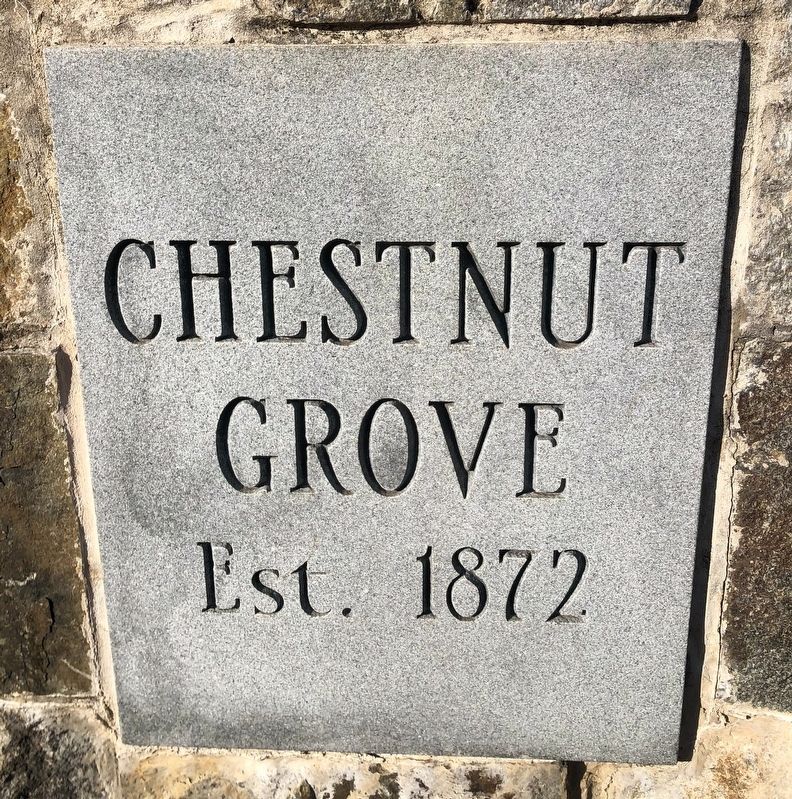
3. Signage at the entrance of the cemetery
Grove
Est. 1872
Credits. This page was last revised on November 27, 2021. It was originally submitted on November 27, 2021, by Devry Becker Jones of Washington, District of Columbia. This page has been viewed 319 times since then and 53 times this year. Last updated on November 27, 2021, by Bradley Owen of Morgantown, West Virginia. Photos: 1, 2, 3. submitted on November 27, 2021, by Devry Becker Jones of Washington, District of Columbia.

